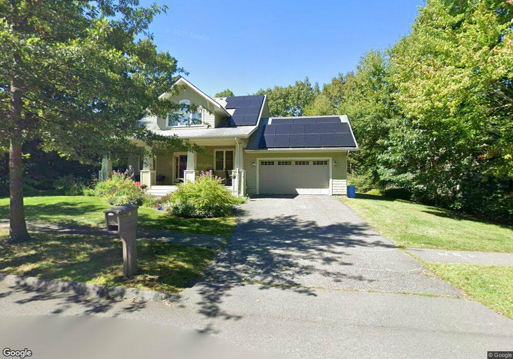
41 Emerson Way Northampton, MA 01062
Florence NeighborhoodEstimated Value: $869,865 - $1,004,000
3
Beds
3
Baths
2,524
Sq Ft
$381/Sq Ft
Est. Value
About This Home
This home is located at 41 Emerson Way, Northampton, MA 01062 and is currently estimated at $962,716, approximately $381 per square foot. 41 Emerson Way is a home located in Hampshire County with nearby schools including Northampton High School, Hilltown Cooperative Charter Public School, and The Montessori School of Northampton.
Ownership History
Date
Name
Owned For
Owner Type
Purchase Details
Closed on
Aug 15, 2014
Sold by
Rosemund Llc
Bought by
Solomon Ellen R
Current Estimated Value
Home Financials for this Owner
Home Financials are based on the most recent Mortgage that was taken out on this home.
Original Mortgage
$475,500
Outstanding Balance
$362,296
Interest Rate
4.09%
Mortgage Type
Purchase Money Mortgage
Estimated Equity
$600,420
Purchase Details
Closed on
Oct 24, 2013
Sold by
Emerson Way Llc
Bought by
Rosemund Llc
Home Financials for this Owner
Home Financials are based on the most recent Mortgage that was taken out on this home.
Original Mortgage
$395,000
Interest Rate
4.56%
Mortgage Type
New Conventional
Create a Home Valuation Report for This Property
The Home Valuation Report is an in-depth analysis detailing your home's value as well as a comparison with similar homes in the area
Home Values in the Area
Average Home Value in this Area
Purchase History
| Date | Buyer | Sale Price | Title Company |
|---|---|---|---|
| Solomon Ellen R | $528,400 | -- | |
| Rosemund Llc | $105,000 | -- |
Source: Public Records
Mortgage History
| Date | Status | Borrower | Loan Amount |
|---|---|---|---|
| Open | Solomon Ellen R | $475,500 | |
| Previous Owner | Rosemund Llc | $395,000 |
Source: Public Records
Tax History Compared to Growth
Tax History
| Year | Tax Paid | Tax Assessment Tax Assessment Total Assessment is a certain percentage of the fair market value that is determined by local assessors to be the total taxable value of land and additions on the property. | Land | Improvement |
|---|---|---|---|---|
| 2025 | $10,957 | $786,600 | $149,300 | $637,300 |
| 2024 | $11,970 | $788,000 | $149,300 | $638,700 |
| 2023 | $10,031 | $633,300 | $135,700 | $497,600 |
| 2022 | $10,004 | $559,200 | $126,900 | $432,300 |
| 2021 | $9,401 | $541,200 | $120,900 | $420,300 |
| 2020 | $9,092 | $541,200 | $120,900 | $420,300 |
| 2019 | $9,623 | $554,000 | $120,900 | $433,100 |
| 2018 | $8,956 | $525,600 | $120,900 | $404,700 |
| 2017 | $8,630 | $517,100 | $105,900 | $411,200 |
| 2016 | $8,356 | $517,100 | $105,900 | $411,200 |
| 2015 | $8,371 | $529,800 | $90,900 | $438,900 |
| 2014 | $1,399 | $90,900 | $90,900 | $0 |
Source: Public Records
Map
Nearby Homes
- 635 Florence Rd
- 815 Burts Pit Rd
- 723 Florence Rd
- 296 Ryan Rd Unit A
- 296 Ryan Rd Unit B
- 723 Lot B Ryan Rd
- 39 Matthew Dr
- 296 Old Wilson Rd
- 11 Norwood Ave
- 37 Landy Ave
- 225 Nonotuck St Unit C
- 48 Chapel St Unit A
- 63 Riverside Dr
- 67 Park St Unit A
- 67 Park St Unit B
- 67 Park St Unit D
- 76 Maple St
- 61 Harrison Ave
- 49 Kensington Ave
- 218 Elm St