41 Gould Rd Unit 2 New London, NH 03257
Estimated Value: $299,000 - $324,000
2
Beds
2
Baths
971
Sq Ft
$318/Sq Ft
Est. Value
About This Home
This home is located at 41 Gould Rd Unit 2, New London, NH 03257 and is currently estimated at $308,918, approximately $318 per square foot. 41 Gould Rd Unit 2 is a home located in Merrimack County with nearby schools including Kearsarge Elementary School - New London, Kearsarge Regional Middle School, and Kearsarge Regional High School.
Ownership History
Date
Name
Owned For
Owner Type
Purchase Details
Closed on
Jul 8, 2021
Sold by
Deborah E Lambert Ft
Bought by
Lambert-Bowser Suzannah and Lambert Elizabeth Y
Current Estimated Value
Purchase Details
Closed on
Jul 6, 2007
Sold by
Stork Marjorie Y Est
Bought by
Frank Lambert Jr Ft and Deborah E Lambert Ft
Create a Home Valuation Report for This Property
The Home Valuation Report is an in-depth analysis detailing your home's value as well as a comparison with similar homes in the area
Home Values in the Area
Average Home Value in this Area
Purchase History
| Date | Buyer | Sale Price | Title Company |
|---|---|---|---|
| Lambert-Bowser Suzannah | -- | None Available | |
| Frank Lambert Jr Ft | $166,000 | -- |
Source: Public Records
Tax History Compared to Growth
Tax History
| Year | Tax Paid | Tax Assessment Tax Assessment Total Assessment is a certain percentage of the fair market value that is determined by local assessors to be the total taxable value of land and additions on the property. | Land | Improvement |
|---|---|---|---|---|
| 2024 | $2,739 | $235,900 | $0 | $235,900 |
| 2023 | $2,550 | $235,900 | $0 | $235,900 |
| 2022 | $2,428 | $153,100 | $0 | $153,100 |
| 2021 | $2,332 | $151,500 | $0 | $151,500 |
| 2020 | $2,263 | $151,500 | $0 | $151,500 |
| 2019 | $2,229 | $151,500 | $0 | $151,500 |
| 2018 | $2,097 | $133,500 | $0 | $133,500 |
| 2017 | $2,137 | $133,500 | $0 | $133,500 |
| 2016 | $2,092 | $133,500 | $0 | $133,500 |
| 2015 | $2,063 | $133,500 | $0 | $133,500 |
| 2014 | $2,044 | $133,500 | $0 | $133,500 |
| 2013 | $2,200 | $146,200 | $0 | $146,200 |
Source: Public Records
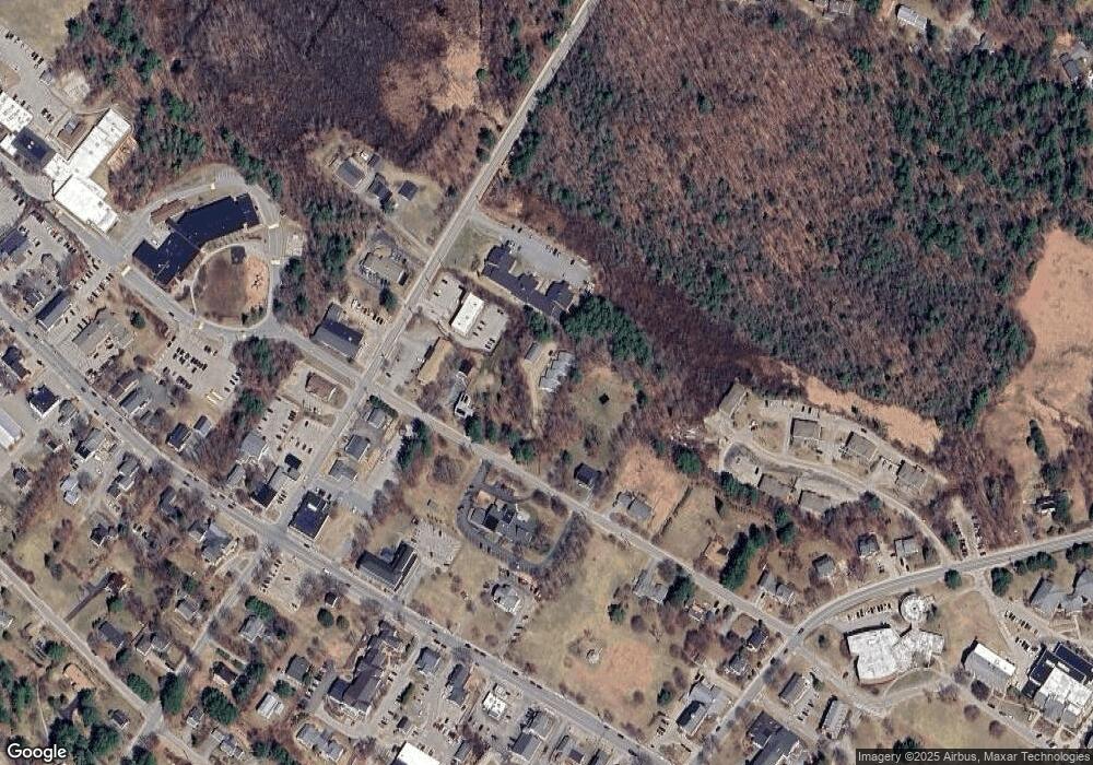
Map
Nearby Homes
- 27 Pipers Glen
- 385 Seamans Rd
- 158 Quail Run
- 0 Newport Rd Unit 10
- 58 Kearsarge Rd
- 10 Highland Ridge Rd
- 71 Hilltop Place
- 106-23 Fieldstone Ln
- 712 Sugarhouse Rd
- 295 Andover Rd
- 195 Pine Hill Rd
- 000 Shaker Rd Unit 288
- 273 Forest Acres Rd
- 0 Fairway Ln Unit 8
- 000 Farwell Ln Unit 17
- 0 Summit Rd Unit 431
- 155 Wilder Ln
- 00 Mountainside Dr Unit 183
- 0 Little Lake Sunapee Rd Unit 40 4989636
- 617 & 619 Route 103a Map 91 Lot 37 38
- 41 Gould Rd Unit 4
- 41 Gould Rd Unit 3
- 41 Gould Rd Unit 1
- 74 Pleasant St
- 21 Gould Rd
- 65 Gould Rd
- 5 Gould Rd
- 73 Gould Rd
- 24 Pleasant St
- 88 Gould Rd
- 22 Pleasant St
- 107 Gould Rd
- 353 Main St
- 108 Gould Rd
- 91 Pleasant St
- 11 Pleasant St
- 299 Main St
- 370 Main St Unit 2 & 3
- 370 Main St Unit 3rd Floor
- 370 Main St