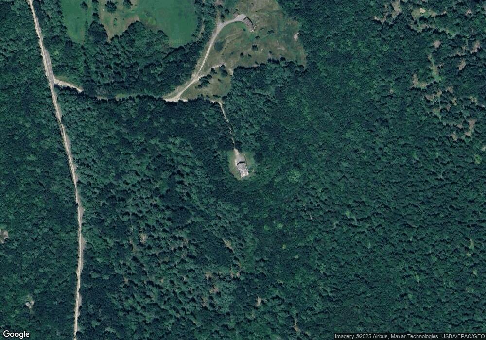
41 Hillside Rd Sebago, ME 04029
Estimated Value: $557,000 - $978,000
--
Bed
--
Bath
1,950
Sq Ft
$405/Sq Ft
Est. Value
About This Home
This home is located at 41 Hillside Rd, Sebago, ME 04029 and is currently estimated at $789,609, approximately $404 per square foot. 41 Hillside Rd is a home with nearby schools including Lake Region High School.
Ownership History
Date
Name
Owned For
Owner Type
Purchase Details
Closed on
Nov 4, 2013
Sold by
Coon Hayden G and Coon Helen C
Bought by
Coon Hayden G and Coon Helen C
Current Estimated Value
Home Financials for this Owner
Home Financials are based on the most recent Mortgage that was taken out on this home.
Original Mortgage
$938,250
Outstanding Balance
$628,632
Interest Rate
2%
Mortgage Type
Reverse Mortgage Home Equity Conversion Mortgage
Estimated Equity
$160,977
Purchase Details
Closed on
Sep 26, 2013
Sold by
Coon Hayden G and Coon Helen C
Bought by
Coon Hayden G and Coon Helen C
Home Financials for this Owner
Home Financials are based on the most recent Mortgage that was taken out on this home.
Original Mortgage
$938,250
Outstanding Balance
$628,632
Interest Rate
2%
Mortgage Type
Reverse Mortgage Home Equity Conversion Mortgage
Estimated Equity
$160,977
Purchase Details
Closed on
Mar 29, 2011
Sold by
Coon Helen C and Coon Hayden
Bought by
Clugston Coon Ft
Create a Home Valuation Report for This Property
The Home Valuation Report is an in-depth analysis detailing your home's value as well as a comparison with similar homes in the area
Home Values in the Area
Average Home Value in this Area
Purchase History
| Date | Buyer | Sale Price | Title Company |
|---|---|---|---|
| Coon Hayden G | -- | -- | |
| Coon Hayden G | -- | -- | |
| Clugston Coon Ft | -- | -- |
Source: Public Records
Mortgage History
| Date | Status | Borrower | Loan Amount |
|---|---|---|---|
| Open | Coon Hayden G | $938,250 |
Source: Public Records
Tax History Compared to Growth
Tax History
| Year | Tax Paid | Tax Assessment Tax Assessment Total Assessment is a certain percentage of the fair market value that is determined by local assessors to be the total taxable value of land and additions on the property. | Land | Improvement |
|---|---|---|---|---|
| 2025 | $9,504 | $640,436 | $153,920 | $486,516 |
| 2024 | $8,736 | $640,436 | $153,920 | $486,516 |
| 2023 | $8,313 | $640,436 | $153,920 | $486,516 |
| 2022 | $6,661 | $640,436 | $153,920 | $486,516 |
| 2021 | $6,308 | $640,436 | $153,920 | $486,516 |
| 2020 | $296 | $452,901 | $97,704 | $355,197 |
| 2019 | $6,159 | $452,901 | $97,704 | $355,197 |
| 2018 | $5,956 | $452,901 | $97,704 | $355,197 |
| 2017 | $261 | $452,901 | $97,704 | $355,197 |
| 2016 | $250 | $452,901 | $97,704 | $355,197 |
| 2015 | $5,933 | $452,901 | $97,704 | $355,197 |
| 2014 | $6,042 | $452,901 | $97,704 | $355,197 |
Source: Public Records
Map
Nearby Homes
- 2 Hancock Pond Rd
- Lot 31 Weeman Rd
- 98 Walter Hill Rd
- 0 Chaplin Mills Rd Unit 1618159
- 7 Fuller Ln
- 77 Fuller Ln
- 2 Kindred Ln
- 12 Starlight Dr
- 40A Convene
- Lot U17-6 Narrow Gauge Trail
- 198 Bush Row Rd
- 75 Ernest Day Rd
- 186 Bridgton Rd
- Lot 12 Alderberry Bay Dr
- Lot 1-B 1 Sebago Rd
- Lot 20 Dyke Mountain Rd
- 87 Gore Rd
- 87 & 91 Gore
- 91 Gore Rd
- 41 Busy Bee
- Map 0017 Lot 014 Sub D D1 D2 Hillside Rd
- 7 Dawn Rest
- 1181 Bridgton Rd
- 1429 Bridgton Rd
- 1207 Bridgton Rd
- 869 Bridgton Rd
- 1280 Bridgton Rd
- 1480 Bridgton Rd
- 1218 Bridgton Rd
- 1237 Bridgton Rd
- 43 Windy Grove Ln
- 995 Bridgton Rd
- 1241 Bridgton Rd
- Lot 22B-2 Farnum Ln
- 724 Peabody Pond Rd
- 1245 Bridgton Rd
- 1238 Bridgton Rd
- 1236 Bridgton Rd
- 32 Taylor Rd
- 1267 Bridgton Rd
