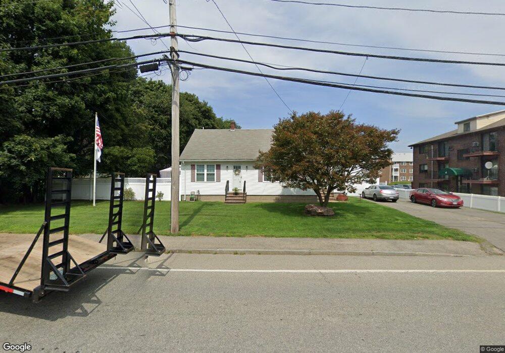
41 Howe St Methuen, MA 01844
The North End NeighborhoodEstimated Value: $507,000 - $654,000
2
Beds
1
Bath
2,549
Sq Ft
$236/Sq Ft
Est. Value
About This Home
This home is located at 41 Howe St, Methuen, MA 01844 and is currently estimated at $601,921, approximately $236 per square foot. 41 Howe St is a home located in Essex County with nearby schools including Methuen High School and Saint Monica School.
Ownership History
Date
Name
Owned For
Owner Type
Purchase Details
Closed on
Jun 22, 2006
Sold by
Geragosian Theresa Est and Geragosian
Bought by
Saulnier Betty M and Saulnier Linus P
Current Estimated Value
Home Financials for this Owner
Home Financials are based on the most recent Mortgage that was taken out on this home.
Original Mortgage
$248,000
Outstanding Balance
$145,186
Interest Rate
6.59%
Mortgage Type
Purchase Money Mortgage
Estimated Equity
$456,735
Purchase Details
Closed on
Apr 13, 2001
Sold by
Geragosian Manoog E
Bought by
Saulnier Linus P
Create a Home Valuation Report for This Property
The Home Valuation Report is an in-depth analysis detailing your home's value as well as a comparison with similar homes in the area
Home Values in the Area
Average Home Value in this Area
Purchase History
| Date | Buyer | Sale Price | Title Company |
|---|---|---|---|
| Saulnier Betty M | -- | -- | |
| Saulnier Linus P | -- | -- | |
| Saulnier Betty M | -- | -- | |
| Saulnier Betty M | -- | -- | |
| Saulnier Linus P | -- | -- | |
| Saulnier Linus P | $165,000 | -- | |
| Saulnier Linus P | $165,000 | -- |
Source: Public Records
Mortgage History
| Date | Status | Borrower | Loan Amount |
|---|---|---|---|
| Open | Saulnier Linus P | $248,000 | |
| Closed | Saulnier Betty M | $248,000 |
Source: Public Records
Tax History Compared to Growth
Tax History
| Year | Tax Paid | Tax Assessment Tax Assessment Total Assessment is a certain percentage of the fair market value that is determined by local assessors to be the total taxable value of land and additions on the property. | Land | Improvement |
|---|---|---|---|---|
| 2025 | $5,186 | $490,200 | $199,100 | $291,100 |
| 2024 | $4,964 | $457,100 | $165,900 | $291,200 |
| 2023 | $4,864 | $415,700 | $165,900 | $249,800 |
| 2022 | $4,557 | $349,200 | $135,700 | $213,500 |
| 2021 | $4,317 | $327,300 | $128,200 | $199,100 |
| 2020 | $4,321 | $321,500 | $128,200 | $193,300 |
| 2019 | $4,212 | $296,800 | $120,600 | $176,200 |
| 2018 | $4,007 | $280,800 | $113,100 | $167,700 |
| 2017 | $3,859 | $263,400 | $113,100 | $150,300 |
| 2016 | $3,464 | $233,900 | $98,000 | $135,900 |
| 2015 | $3,308 | $226,600 | $98,000 | $128,600 |
Source: Public Records
Map
Nearby Homes
- 64-66 Howe St
- 45 Washington St Unit 55
- 15 Junior Ave
- 687 Jackson St
- Lot 2 Washington St
- 35 Stillwater Rd
- 12 Cameron Way
- 12 Stillwater Cir
- 257 Howe St
- 2 Renaissance Cir
- 122 Pleasant Valley St
- 43 Duston Dr
- 48 Pond St
- 3 Woekel Terrace
- 37 Albion St
- 128 Pleasant Valley St
- 25 Thayer St
- 7 Magnolia Rd
- 63 Lippold St
- 87 Oakside Ave