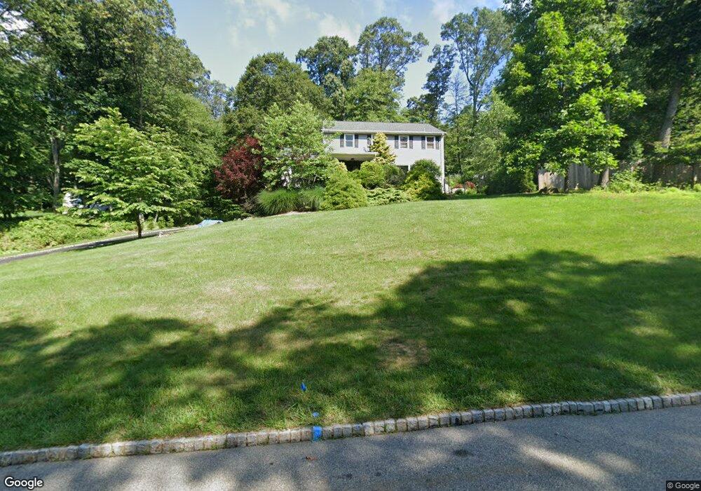
41 Junard Dr Morristown, NJ 07960
Estimated Value: $738,000 - $871,000
4
Beds
3
Baths
2,272
Sq Ft
$363/Sq Ft
Est. Value
About This Home
This home is located at 41 Junard Dr, Morristown, NJ 07960 and is currently estimated at $824,032, approximately $362 per square foot. 41 Junard Dr is a home located in Morris County with nearby schools including Hillcrest School, Thomas Jefferson School, and Alfred Vail School.
Ownership History
Date
Name
Owned For
Owner Type
Purchase Details
Closed on
Aug 2, 2006
Sold by
Dresher David
Bought by
Osiecki Adam and Rakoczy Iwona
Current Estimated Value
Home Financials for this Owner
Home Financials are based on the most recent Mortgage that was taken out on this home.
Original Mortgage
$400,000
Outstanding Balance
$239,501
Interest Rate
6.71%
Mortgage Type
New Conventional
Estimated Equity
$584,531
Purchase Details
Closed on
Nov 22, 2005
Sold by
Seymour Dresher
Bought by
Seymour Dresher and Dresher Phyllis
Create a Home Valuation Report for This Property
The Home Valuation Report is an in-depth analysis detailing your home's value as well as a comparison with similar homes in the area
Home Values in the Area
Average Home Value in this Area
Purchase History
| Date | Buyer | Sale Price | Title Company |
|---|---|---|---|
| Osiecki Adam | $530,000 | -- | |
| Seymour Dresher | -- | -- |
Source: Public Records
Mortgage History
| Date | Status | Borrower | Loan Amount |
|---|---|---|---|
| Open | Osiecki Adam | $400,000 |
Source: Public Records
Tax History
| Year | Tax Paid | Tax Assessment Tax Assessment Total Assessment is a certain percentage of the fair market value that is determined by local assessors to be the total taxable value of land and additions on the property. | Land | Improvement |
|---|---|---|---|---|
| 2025 | $10,096 | $504,300 | $243,000 | $261,300 |
| 2024 | $10,111 | $504,300 | $243,000 | $261,300 |
Source: Public Records
Map
Nearby Homes
- 46 Junard Dr
- 24 Raynor Rd
- 34 Starlight Dr
- 31 N Ventosa Dr
- 3 Starlight Dr
- 2 Chestnut Hill Rd
- 34 Long Ridge Rd
- 29 Clover Ln
- 10 Forrest Rd
- 40 High Ridge Rd
- 14 Fieldstone Ct
- 4A Southview Rd
- 138 Shady Ln
- 15 Southview Rd
- 8 Cherry Ln
- 41 Beverly St
- 5 Elaine Ct
- 267 Washington Valley Rd
- 9 Jonathan Smith Rd
- 17 Ripplewood Dr
- 45 Junard Dr
- 39 Junard Dr
- 42 Lord Stirling Dr
- 44 Junard Dr
- 42 Junard Dr
- 622 W Hanover Ave
- 44 Lord Stirling Dr
- 40 Lord Stirling Dr
- 40 Junard Dr
- 47 Junard Dr
- 39 N Star Dr
- 1 Tower Ln
- 41 N Star Dr
- 37 N Star Dr
- 41 Lord Stirling Dr
- 38 Junard Dr
- 38 Lord Stirling Dr
- 45 N Star Dr
- 130 W Hanover Ave
- 43 Lord Stirling Dr
Your Personal Tour Guide
Ask me questions while you tour the home.