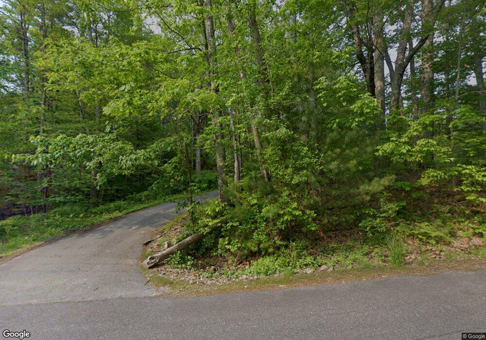
41 Katie Ln Topsham, ME 04086
Estimated Value: $515,000 - $588,000
3
Beds
2
Baths
1,858
Sq Ft
$304/Sq Ft
Est. Value
About This Home
This home is located at 41 Katie Ln, Topsham, ME 04086 and is currently estimated at $564,710, approximately $303 per square foot. 41 Katie Ln is a home located in Sagadahoc County with nearby schools including Mt Ararat High School.
Create a Home Valuation Report for This Property
The Home Valuation Report is an in-depth analysis detailing your home's value as well as a comparison with similar homes in the area
Home Values in the Area
Average Home Value in this Area
Tax History Compared to Growth
Tax History
| Year | Tax Paid | Tax Assessment Tax Assessment Total Assessment is a certain percentage of the fair market value that is determined by local assessors to be the total taxable value of land and additions on the property. | Land | Improvement |
|---|---|---|---|---|
| 2024 | $6,594 | $527,500 | $65,700 | $461,800 |
| 2023 | $6,191 | $455,900 | $62,600 | $393,300 |
| 2022 | $5,617 | $389,500 | $60,400 | $329,100 |
| 2021 | $5,596 | $352,600 | $55,600 | $297,000 |
| 2020 | $5,340 | $299,000 | $55,600 | $243,400 |
| 2019 | $5,358 | $279,800 | $55,600 | $224,200 |
| 2018 | $4,780 | $255,200 | $50,000 | $205,200 |
| 2017 | $4,624 | $255,200 | $50,000 | $205,200 |
| 2016 | $4,551 | $253,000 | $50,000 | $203,000 |
| 2015 | $4,427 | $246,500 | $50,000 | $196,500 |
| 2014 | $4,234 | $244,300 | $50,000 | $194,300 |
| 2013 | $4,068 | $244,300 | $50,000 | $194,300 |
Source: Public Records
Map
Nearby Homes
- 428 Cathance Rd
- 75 Adams Landing Rd
- 211 Augusta Rd
- 210 Augusta Rd
- 47 Bradstreet Dr
- 15 Royal Oak Cir
- Lot 08 Sara's Way
- 2 Jasper Dr
- 282 Middlesex Rd
- 314 Meadow Rd
- 345 Meadow Rd
- 51 Mountain View Cir
- 8 Lucas Ln
- 438 Meadow Rd
- 67 Tedford Rd
- 55 Somerset Place
- 55 Munroe Ln
- 71 Somerset Place
- 26 Union Park Rd
- 36 Tedford Rd
