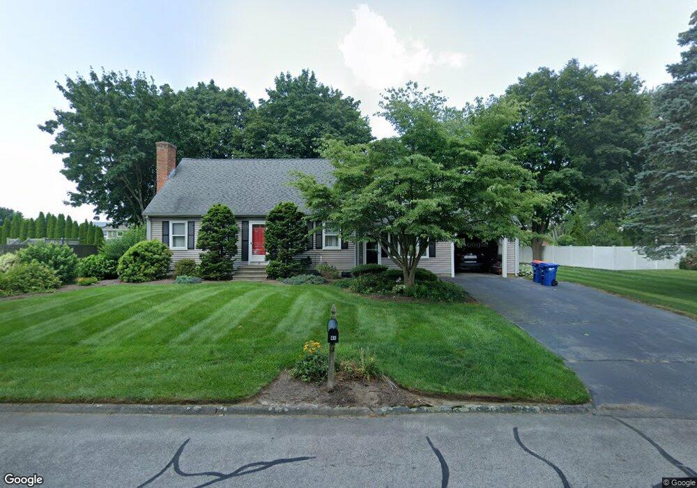
41 King Philip Rd Seekonk, MA 02771
Estimated Value: $542,687 - $643,000
3
Beds
2
Baths
1,740
Sq Ft
$334/Sq Ft
Est. Value
About This Home
This home is located at 41 King Philip Rd, Seekonk, MA 02771 and is currently estimated at $581,172, approximately $334 per square foot. 41 King Philip Rd is a home located in Bristol County with nearby schools including Seekonk High School, Ocean State Montessori School, and St Mary Academy-Bay View.
Ownership History
Date
Name
Owned For
Owner Type
Purchase Details
Closed on
Jan 1, 1978
Bought by
Stevens William F and Stevens Deborah
Current Estimated Value
Create a Home Valuation Report for This Property
The Home Valuation Report is an in-depth analysis detailing your home's value as well as a comparison with similar homes in the area
Home Values in the Area
Average Home Value in this Area
Purchase History
| Date | Buyer | Sale Price | Title Company |
|---|---|---|---|
| Stevens William F | -- | -- |
Source: Public Records
Mortgage History
| Date | Status | Borrower | Loan Amount |
|---|---|---|---|
| Open | Stevens William F | $50,000 | |
| Open | Stevens William F | $158,500 | |
| Closed | Stevens William F | $10,000 |
Source: Public Records
Tax History Compared to Growth
Tax History
| Year | Tax Paid | Tax Assessment Tax Assessment Total Assessment is a certain percentage of the fair market value that is determined by local assessors to be the total taxable value of land and additions on the property. | Land | Improvement |
|---|---|---|---|---|
| 2025 | $5,656 | $458,000 | $162,400 | $295,600 |
| 2024 | $5,419 | $438,800 | $162,400 | $276,400 |
| 2023 | $5,216 | $397,900 | $145,900 | $252,000 |
| 2022 | $4,817 | $361,100 | $145,900 | $215,200 |
| 2021 | $4,550 | $335,300 | $124,500 | $210,800 |
| 2020 | $4,351 | $330,400 | $124,700 | $205,700 |
| 2019 | $4,209 | $322,300 | $124,700 | $197,600 |
| 2018 | $4,153 | $311,100 | $124,700 | $186,400 |
| 2017 | $4,069 | $302,300 | $126,000 | $176,300 |
| 2016 | $4,000 | $298,300 | $126,000 | $172,300 |
| 2015 | $3,252 | $245,800 | $114,400 | $131,400 |
Source: Public Records
Map
Nearby Homes
- 358 Olney St
- 147 Olney St
- 199 Cole St
- 30 Rosemarie Dr
- 454 Fall River Ave
- 349 County St
- 42 Tee Jay Dr
- 524 County St
- 759 Fall River Ave
- 698 Fall River Ave
- 420 Chestnut St
- 72 School St
- 44 Raymond Dr
- 296 Fall River Ave
- 39 John Alden Rd
- 62 Chestnut St
- 0 Milton St Unit 72633661
- 442 Taunton Ave
- 206 Wheeler St
- 0 Pleasant St
- 30 Mohawk Dr
- 31 King Philip Rd
- 51 King Philip Rd
- 42 King Philip Rd
- 42 Mohawk Dr
- 32 King Philip Rd
- 52 King Philip Rd
- 18 Mohawk Dr
- 21 King Philip Rd
- 20 Canonchet Rd
- 22 King Philip Rd
- 31 Mohawk Dr
- 30 Canonchet Rd
- 45 Mohawk Dr
- 283 Olney St
- 271 Olney St
- 10 Canonchet Rd
- 295 Olney St
- 12 Mohawk Dr
- 11 King Philip Rd