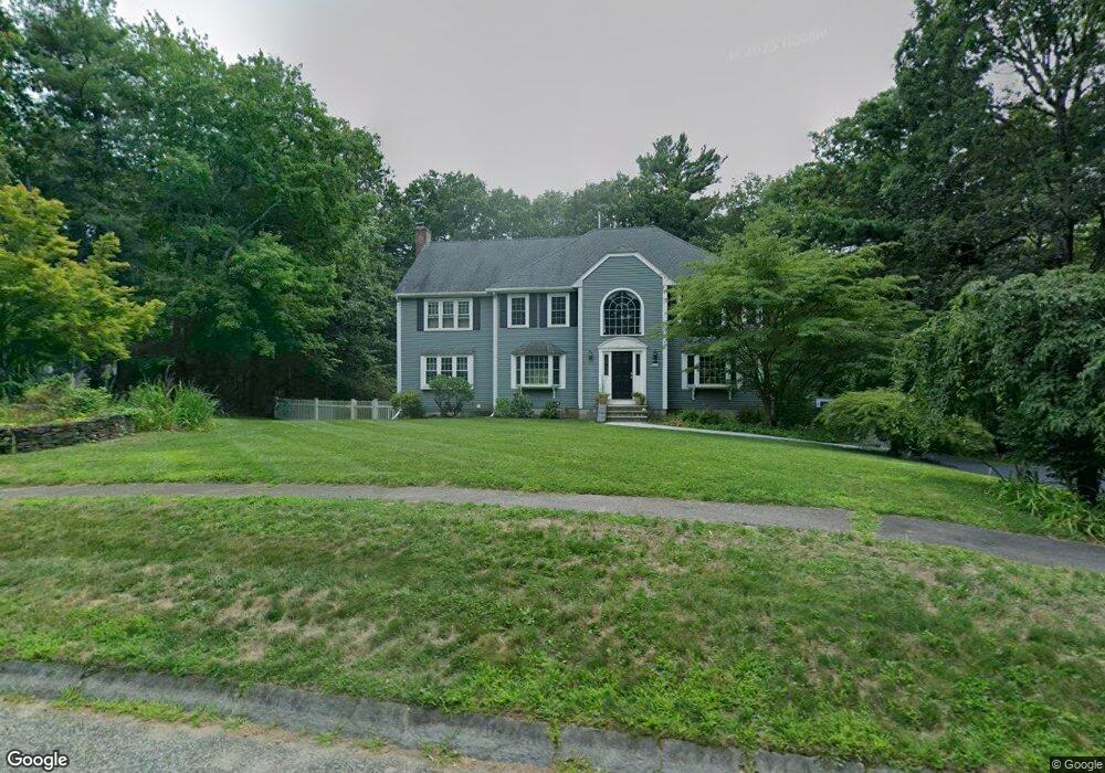
41 Lancashire Dr Mansfield, MA 02048
Estimated Value: $990,000 - $1,236,000
4
Beds
3
Baths
3,010
Sq Ft
$359/Sq Ft
Est. Value
About This Home
This home is located at 41 Lancashire Dr, Mansfield, MA 02048 and is currently estimated at $1,081,769, approximately $359 per square foot. 41 Lancashire Dr is a home located in Bristol County with nearby schools including Everett W. Robinson Elementary School, Jordan/Jackson Elementary School, and Harold L. Qualters Middle School.
Ownership History
Date
Name
Owned For
Owner Type
Purchase Details
Closed on
Jan 10, 2020
Sold by
Vanvlack Matthew J and Vanvlack Roberta S
Bought by
Vanvlack Ft
Current Estimated Value
Purchase Details
Closed on
May 30, 2008
Sold by
Pelletier Robert E and Pelletier Rosemary A
Bought by
Vanvlack Matthew J and Vanvlack Roberta S
Home Financials for this Owner
Home Financials are based on the most recent Mortgage that was taken out on this home.
Original Mortgage
$417,000
Interest Rate
5.91%
Mortgage Type
Purchase Money Mortgage
Purchase Details
Closed on
Oct 30, 1992
Sold by
East Coast Dev Ltd
Bought by
Pelletier Robert E and Pelletier Rosemary
Home Financials for this Owner
Home Financials are based on the most recent Mortgage that was taken out on this home.
Original Mortgage
$233,350
Interest Rate
7.85%
Mortgage Type
Purchase Money Mortgage
Create a Home Valuation Report for This Property
The Home Valuation Report is an in-depth analysis detailing your home's value as well as a comparison with similar homes in the area
Home Values in the Area
Average Home Value in this Area
Purchase History
| Date | Buyer | Sale Price | Title Company |
|---|---|---|---|
| Vanvlack Ft | -- | None Available | |
| Vanvlack Matthew J | $615,000 | -- | |
| Pelletier Robert E | $291,700 | -- |
Source: Public Records
Mortgage History
| Date | Status | Borrower | Loan Amount |
|---|---|---|---|
| Previous Owner | Pelletier Robert E | $381,000 | |
| Previous Owner | Vanvlack Matthew J | $417,000 | |
| Previous Owner | Pelletier Robert E | $265,650 | |
| Previous Owner | Pelletier Robert E | $25,000 | |
| Previous Owner | Pelletier Robert E | $233,350 |
Source: Public Records
Tax History Compared to Growth
Tax History
| Year | Tax Paid | Tax Assessment Tax Assessment Total Assessment is a certain percentage of the fair market value that is determined by local assessors to be the total taxable value of land and additions on the property. | Land | Improvement |
|---|---|---|---|---|
| 2025 | $12,207 | $926,900 | $334,500 | $592,400 |
| 2024 | $11,322 | $838,700 | $296,500 | $542,200 |
| 2023 | $10,856 | $770,500 | $296,500 | $474,000 |
| 2022 | $10,425 | $687,200 | $275,900 | $411,300 |
| 2021 | $10,585 | $689,100 | $249,100 | $440,000 |
| 2020 | $10,408 | $677,600 | $249,100 | $428,500 |
| 2019 | $10,095 | $663,300 | $226,200 | $437,100 |
| 2018 | $9,577 | $646,000 | $216,600 | $429,400 |
| 2017 | $9,442 | $628,600 | $210,900 | $417,700 |
| 2016 | $9,170 | $595,100 | $208,500 | $386,600 |
| 2015 | $8,923 | $575,700 | $208,500 | $367,200 |
Source: Public Records
Map
Nearby Homes
- 1730 West St
- 56 Jacob Dr
- 47 Old Farm Rd
- 17 Peters Way
- 14 Claire Ave
- 122 Mary Ann Way
- 1125 School St
- 36 Cranberry Rd
- 11 Landry Ave
- 176 Elm St
- 10 Sleepy Hollow Cir
- 16 Raymond Hall Dr
- 116 George St
- 6 Colts Way
- 451R Gilbert St
- 2 Oak St Unit 2B
- 2 Oak St Unit 2D
- 2 Oak St Unit 2C
- 2 Oak St Unit 2A
- 115 Westfield Dr
- 47 Lancashire Dr
- 48 Lancashire Dr
- 40 Lancashire Dr
- 45 Lancashire Dr
- 51 Lancashire Dr
- 52 Lancashire Dr
- 44 Lancashire Dr
- Lot 56 Lancashire Dr New Construction
- 190 York Rd
- 36 Lancashire Dr
- 56 Lancashire Dr
- 35 Lancashire Dr
- 55 Lancashire Dr
- 60 Lancashire Dr
- 31 Lancashire Dr
- 186 York Rd
- 32 Lancashire Dr
- 187 York Rd
- 74 York Rd
- 118 York Rd