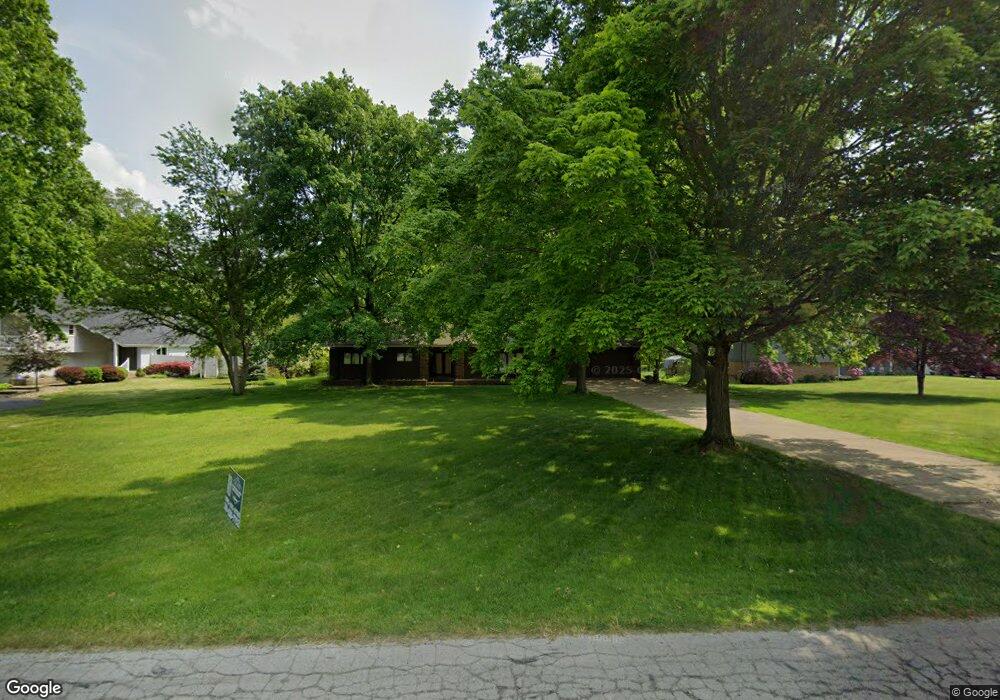
41 Lynwood Dr Battle Creek, MI 49015
Minges Brook Riverside NeighborhoodEstimated Value: $305,958 - $427,000
3
Beds
3
Baths
2,458
Sq Ft
$150/Sq Ft
Est. Value
About This Home
This home is located at 41 Lynwood Dr, Battle Creek, MI 49015 and is currently estimated at $367,990, approximately $149 per square foot. 41 Lynwood Dr is a home located in Calhoun County with nearby schools including Lakeview Middle School, Lakeview High School, and Arbor Academy.
Ownership History
Date
Name
Owned For
Owner Type
Purchase Details
Closed on
Nov 11, 2021
Sold by
Cherney Charles R
Bought by
Albion Investment And Loan Llc
Current Estimated Value
Purchase Details
Closed on
Feb 8, 2017
Sold by
Fannie Mae
Bought by
Cherney Mary K S and Cherney Charles R R
Home Financials for this Owner
Home Financials are based on the most recent Mortgage that was taken out on this home.
Original Mortgage
$94,800
Interest Rate
4.32%
Mortgage Type
New Conventional
Purchase Details
Closed on
Dec 4, 2014
Sold by
Cherney Mary K S and Cherney Charles R R
Bought by
Federal National Mortgage Association and Fannie Mae
Create a Home Valuation Report for This Property
The Home Valuation Report is an in-depth analysis detailing your home's value as well as a comparison with similar homes in the area
Home Values in the Area
Average Home Value in this Area
Purchase History
| Date | Buyer | Sale Price | Title Company |
|---|---|---|---|
| Albion Investment And Loan Llc | $91,346 | None Listed On Document | |
| Cherney Mary K S | $114,452 | None Available | |
| Federal National Mortgage Association | $92,237 | None Available |
Source: Public Records
Mortgage History
| Date | Status | Borrower | Loan Amount |
|---|---|---|---|
| Previous Owner | Cherney Mary K S | $94,800 |
Source: Public Records
Tax History Compared to Growth
Tax History
| Year | Tax Paid | Tax Assessment Tax Assessment Total Assessment is a certain percentage of the fair market value that is determined by local assessors to be the total taxable value of land and additions on the property. | Land | Improvement |
|---|---|---|---|---|
| 2025 | -- | $109,300 | $0 | $0 |
| 2024 | $4,086 | $105,116 | $0 | $0 |
| 2023 | $4,832 | $95,583 | $0 | $0 |
| 2022 | $3,913 | $103,992 | $0 | $0 |
| 2021 | $4,398 | $92,851 | $0 | $0 |
| 2020 | $4,074 | $98,866 | $0 | $0 |
| 2019 | $4,110 | $98,718 | $0 | $0 |
| 2018 | $4,110 | $85,760 | $0 | $0 |
| 2017 | $4,135 | $89,455 | $0 | $0 |
| 2016 | $4,613 | $84,730 | $0 | $0 |
| 2015 | $3,131 | $70,000 | $14,083 | $55,917 |
| 2014 | $3,131 | $70,000 | $14,083 | $55,917 |
Source: Public Records
Map
Nearby Homes
- 168 Pheasant Run
- 117 Pheasant Run
- 746 Country Club Dr
- 220 Deer Path Ln
- 244 Deer Path Ln
- 66 Wealthy
- 4281 Watkins Rd
- 4275 Watkins Rd
- 25 Minges Rd W
- 711 Windamere Blvd
- 219 W Hamilton Ln
- 265 Lakeshore Dr
- 618 Jennings Landing
- 292 W Hamilton Ln
- 0 Jennings Landing
- 1200 Lakeside Dr S
- 138 Blue Heron Ln Unit 138
- 148 Wahwahtaysee Way
- 15 Timothy Ln
- 450 Orchard Ln