41 Maple St S Bristol, NH 03222
Estimated Value: $449,561 - $634,000
2
Beds
2
Baths
1,395
Sq Ft
$385/Sq Ft
Est. Value
About This Home
This home is located at 41 Maple St S, Bristol, NH 03222 and is currently estimated at $536,390, approximately $384 per square foot. 41 Maple St S is a home with nearby schools including Bridgewater-Hebron Village School.
Ownership History
Date
Name
Owned For
Owner Type
Purchase Details
Closed on
May 15, 2006
Sold by
Johnson 3Rd William H
Bought by
Stevens Christopher S and Stevens Amy B
Current Estimated Value
Home Financials for this Owner
Home Financials are based on the most recent Mortgage that was taken out on this home.
Original Mortgage
$100,000
Outstanding Balance
$57,916
Interest Rate
6.4%
Mortgage Type
Purchase Money Mortgage
Estimated Equity
$478,474
Create a Home Valuation Report for This Property
The Home Valuation Report is an in-depth analysis detailing your home's value as well as a comparison with similar homes in the area
Home Values in the Area
Average Home Value in this Area
Purchase History
| Date | Buyer | Sale Price | Title Company |
|---|---|---|---|
| Stevens Christopher S | $125,000 | -- | |
| Stevens Christopher S | $125,000 | -- |
Source: Public Records
Mortgage History
| Date | Status | Borrower | Loan Amount |
|---|---|---|---|
| Open | Stevens Christopher S | $100,000 | |
| Closed | Stevens Christopher S | $100,000 |
Source: Public Records
Tax History Compared to Growth
Tax History
| Year | Tax Paid | Tax Assessment Tax Assessment Total Assessment is a certain percentage of the fair market value that is determined by local assessors to be the total taxable value of land and additions on the property. | Land | Improvement |
|---|---|---|---|---|
| 2024 | $2,004 | $371,100 | $180,100 | $191,000 |
| 2023 | $1,946 | $241,400 | $121,000 | $120,400 |
| 2022 | $1,994 | $241,400 | $121,000 | $120,400 |
| 2021 | $1,996 | $241,400 | $121,000 | $120,400 |
| 2020 | $2,023 | $241,400 | $121,000 | $120,400 |
| 2019 | $1,891 | $193,700 | $83,200 | $110,500 |
| 2018 | $1,836 | $193,700 | $83,200 | $110,500 |
| 2017 | $1,863 | $193,700 | $83,200 | $110,500 |
| 2016 | $1,827 | $193,700 | $83,200 | $110,500 |
| 2015 | $1,918 | $197,100 | $92,400 | $104,700 |
| 2014 | $1,785 | $191,300 | $92,400 | $98,900 |
Source: Public Records
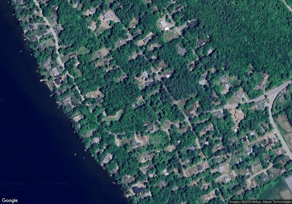
Map
Nearby Homes
- 199 Cottage City Rd
- 862 Mayhew Turnpike Unit 1
- 114 Ledgewood Terrace
- 383 Wulamat Rd
- 40 Adams Rd
- 35 Manor Estates Dr Unit 14
- 497 W Shore Rd
- 26 Don Gerry Rd
- 4 Birchwood Dr Unit A
- 00 Ledgewood Cir Unit 7
- 94 Mandi Ln
- 125 Verrill Rd
- 10 Merrill Rd
- 341 Perkins Hill Rd
- 301 Perkins Hill Rd
- Lot 7 Hall Rd
- Lots 1 & 2 Hall Rd
- Lot 26 Skyline Dr
- 0 Skyline Dr Unit 19
- 29 Daniels Rd