41 Mary Simpson Ln Winchester, TN 37398
Estimated Value: $137,779 - $352,000
--
Bed
1
Bath
1,344
Sq Ft
$177/Sq Ft
Est. Value
About This Home
This home is located at 41 Mary Simpson Ln, Winchester, TN 37398 and is currently estimated at $237,445, approximately $176 per square foot. 41 Mary Simpson Ln is a home located in Franklin County with nearby schools including South Middle School, Franklin County High School, and Winchester Christian Academy.
Ownership History
Date
Name
Owned For
Owner Type
Purchase Details
Closed on
Oct 21, 2002
Sold by
Simpson Glen
Bought by
Jones Louis E
Current Estimated Value
Purchase Details
Closed on
Oct 17, 2002
Sold by
Partin Randy T
Bought by
Simpson Glen
Purchase Details
Closed on
Jun 11, 2002
Bought by
Simpson Glen & Trs For Thomas Glen Partin
Purchase Details
Closed on
Jul 23, 1984
Bought by
Partin Randy T and Lisa Marie
Purchase Details
Closed on
Jan 1, 1981
Bought by
Partin Randy T and Lisa Marie
Create a Home Valuation Report for This Property
The Home Valuation Report is an in-depth analysis detailing your home's value as well as a comparison with similar homes in the area
Home Values in the Area
Average Home Value in this Area
Purchase History
| Date | Buyer | Sale Price | Title Company |
|---|---|---|---|
| Jones Louis E | -- | -- | |
| Simpson Glen | -- | -- | |
| Simpson Glen | $22,600 | -- | |
| Simpson Glen & Trs For Thomas Glen Partin | $22,600 | -- | |
| Partin Randy T | -- | -- | |
| Partin Randy T | $800 | -- |
Source: Public Records
Tax History Compared to Growth
Tax History
| Year | Tax Paid | Tax Assessment Tax Assessment Total Assessment is a certain percentage of the fair market value that is determined by local assessors to be the total taxable value of land and additions on the property. | Land | Improvement |
|---|---|---|---|---|
| 2024 | $511 | $25,625 | $4,125 | $21,500 |
| 2023 | $511 | $25,625 | $4,125 | $21,500 |
| 2022 | $481 | $25,625 | $4,125 | $21,500 |
| 2021 | $409 | $25,625 | $4,125 | $21,500 |
| 2020 | $409 | $14,225 | $3,525 | $10,700 |
| 2019 | $409 | $14,225 | $3,525 | $10,700 |
| 2018 | $380 | $14,225 | $3,525 | $10,700 |
| 2017 | $380 | $14,225 | $3,525 | $10,700 |
| 2016 | $319 | $11,925 | $2,950 | $8,975 |
| 2015 | $319 | $11,925 | $2,950 | $8,975 |
| 2014 | $333 | $12,452 | $0 | $0 |
Source: Public Records
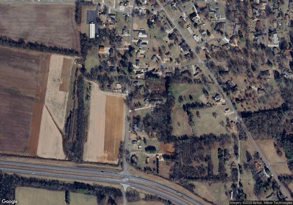
Map
Nearby Homes
- 1111 Holders Cove Rd
- 136 Houghton Dr
- 905 S Jefferson St
- 267 Golf Course Ln
- 816 S High St
- 811 Cumberland Dr
- 805 S Shephard St
- 806 Pleasant View Dr
- 712 S High St
- 804 Pleasant View Dr
- 621 S Jefferson St
- 286 Strawberry Dr
- 1203 Liberty Rd
- 605 Strawberry Dr
- 412 Rotary Dr
- 119 Kenmore Ave
- 1313 Liberty Rd
- 803 S Shephard St
- 1019 Old Cowan Rd
- 1506 Old Cowan Rd
- 55 Mary Simpson Ln
- 227 Liberty Rd
- 315 Liberty Rd
- 207 Liberty Rd
- 234 Liberty Rd
- 91 Meadowbrook Cir
- 65 Meadowbrook Cir
- 351 Liberty Rd
- 191 Liberty Rd
- 202 Liberty Rd
- 96 Meadowbrook Cir
- 167 Liberty Rd
- 35 Meadowbrook Cir
- 383 Liberty Rd
- 64 Meadowbrook Cir
- 143 Liberty Rd
- 168 Liberty Rd
- 1132 Holders Cove Rd
- 1170 Holders Cove Rd
- 1110 Holders Cove Rd