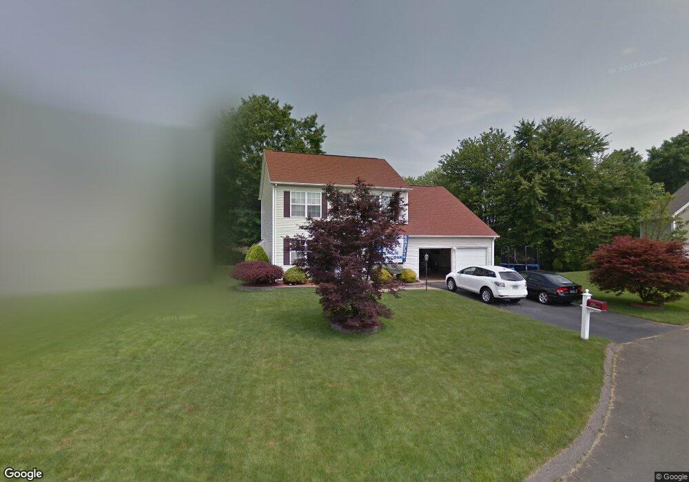
41 Mayfield Rd Wethersfield, CT 06109
Estimated Value: $428,000 - $578,000
4
Beds
3
Baths
2,194
Sq Ft
$235/Sq Ft
Est. Value
About This Home
This home is located at 41 Mayfield Rd, Wethersfield, CT 06109 and is currently estimated at $515,430, approximately $234 per square foot. 41 Mayfield Rd is a home located in Hartford County with nearby schools including Alfred W. Hanmer School, Silas Deane Middle School, and Ramona High School.
Ownership History
Date
Name
Owned For
Owner Type
Purchase Details
Closed on
Nov 20, 1998
Sold by
Granite Homes Inc
Bought by
Flores Alberto and Flores Nayda
Current Estimated Value
Home Financials for this Owner
Home Financials are based on the most recent Mortgage that was taken out on this home.
Original Mortgage
$138,000
Interest Rate
6.49%
Create a Home Valuation Report for This Property
The Home Valuation Report is an in-depth analysis detailing your home's value as well as a comparison with similar homes in the area
Home Values in the Area
Average Home Value in this Area
Purchase History
| Date | Buyer | Sale Price | Title Company |
|---|---|---|---|
| Flores Alberto | $163,465 | -- |
Source: Public Records
Mortgage History
| Date | Status | Borrower | Loan Amount |
|---|---|---|---|
| Open | Flores Alberto | $60,000 | |
| Closed | Flores Alberto | $35,700 | |
| Closed | Flores Alberto | $132,000 | |
| Closed | Flores Alberto | $138,000 |
Source: Public Records
Tax History Compared to Growth
Tax History
| Year | Tax Paid | Tax Assessment Tax Assessment Total Assessment is a certain percentage of the fair market value that is determined by local assessors to be the total taxable value of land and additions on the property. | Land | Improvement |
|---|---|---|---|---|
| 2025 | $13,220 | $320,710 | $82,600 | $238,110 |
| 2024 | $10,488 | $242,660 | $65,100 | $177,560 |
| 2023 | $10,138 | $242,660 | $65,100 | $177,560 |
| 2022 | $9,968 | $242,660 | $65,100 | $177,560 |
| 2021 | $9,869 | $242,660 | $65,100 | $177,560 |
| 2020 | $9,874 | $242,660 | $65,100 | $177,560 |
| 2019 | $9,886 | $242,660 | $65,100 | $177,560 |
| 2018 | $8,429 | $206,700 | $63,600 | $143,100 |
| 2017 | $8,220 | $206,700 | $63,600 | $143,100 |
| 2016 | $7,966 | $206,700 | $63,600 | $143,100 |
| 2015 | $7,879 | $206,300 | $63,600 | $142,700 |
| 2014 | $7,579 | $206,300 | $63,600 | $142,700 |
Source: Public Records
Map
Nearby Homes
- 177 Spring St Unit 177
- 231 Charter Rd
- 155 Prospect St
- 108 Chamberlain Rd
- 35 Stillwold Dr
- 1610 Silas Deane Hwy
- 37 Two Stone Dr
- 18 Colonial Dr Unit A
- 43 Dudley Rd
- 33 Golf Rd
- 140 Edward St
- 148 Raymond Rd
- 59 Chapin Ave
- 88 Highland St
- 211 Fairlane Dr
- 118 Church St
- 519 Prospect St
- 26 Tifton Rd
- 876 Ridge Rd
- 19 Jacob Dr
- 33 Mayfield Rd
- 43 Mayfield Rd
- 25 Mayfield Rd
- 45 Mayfield Rd
- 40 Mayfield Rd
- 44 Mayfield Rd
- 34 Mayfield Rd
- 26 Mayfield Rd
- 19 Mayfield Rd
- 382 Middletown Ave
- 20 Mayfield Rd
- 11 Mayfield Rd
- 21 Casey Ln
- 25 Casey Ln
- 12 Mayfield Rd
- 24 Adams Ln
- 404 Middletown Ave
- 410 Middletown Ave
- 15 Casey Ln
- 386 Middletown Ave Unit 388