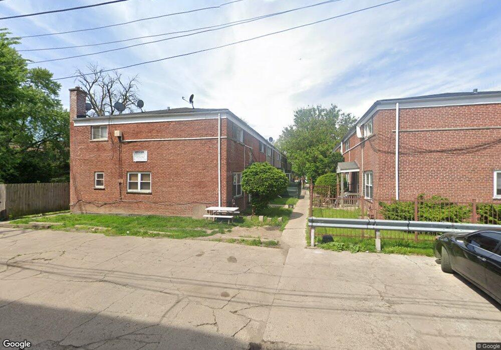
41 N Mayfield Ave Chicago, IL 60644
Austin NeighborhoodEstimated Value: $139,000 - $174,277
3
Beds
2
Baths
1,507
Sq Ft
$102/Sq Ft
Est. Value
About This Home
This home is located at 41 N Mayfield Ave, Chicago, IL 60644 and is currently estimated at $153,819, approximately $102 per square foot. 41 N Mayfield Ave is a home located in Cook County with nearby schools including Depriest Elementary School, Catalyst Charter-Circle Rock Elementary School, and St. Catherine - St. Lucy School.
Ownership History
Date
Name
Owned For
Owner Type
Purchase Details
Closed on
Jun 7, 2022
Sold by
Cook County
Bought by
Eaton Kenny
Current Estimated Value
Purchase Details
Closed on
May 5, 2008
Sold by
City Of Chicago
Bought by
Bryant Interior Space & Renovation Servi
Purchase Details
Closed on
Apr 25, 2006
Sold by
Thompson Jimmy
Bought by
City Of Chicago
Create a Home Valuation Report for This Property
The Home Valuation Report is an in-depth analysis detailing your home's value as well as a comparison with similar homes in the area
Home Values in the Area
Average Home Value in this Area
Purchase History
| Date | Buyer | Sale Price | Title Company |
|---|---|---|---|
| Eaton Kenny | -- | None Listed On Document | |
| Bryant Interior Space & Renovation Servi | -- | None Available | |
| City Of Chicago | -- | None Available |
Source: Public Records
Tax History Compared to Growth
Tax History
| Year | Tax Paid | Tax Assessment Tax Assessment Total Assessment is a certain percentage of the fair market value that is determined by local assessors to be the total taxable value of land and additions on the property. | Land | Improvement |
|---|---|---|---|---|
| 2024 | $2,110 | $13,300 | $1,354 | $11,946 |
| 2023 | $2,057 | $10,000 | $1,072 | $8,928 |
| 2022 | $2,057 | $10,000 | $1,072 | $8,928 |
| 2021 | $2,011 | $9,999 | $1,071 | $8,928 |
| 2020 | $1,438 | $6,457 | $958 | $5,499 |
| 2019 | $1,442 | $7,175 | $958 | $6,217 |
| 2018 | $1,417 | $7,175 | $958 | $6,217 |
| 2017 | $1,585 | $7,364 | $846 | $6,518 |
| 2016 | $1,475 | $7,364 | $846 | $6,518 |
| 2015 | $1,349 | $7,364 | $846 | $6,518 |
| 2014 | $1,261 | $6,796 | $789 | $6,007 |
| 2013 | $1,236 | $6,796 | $789 | $6,007 |
Source: Public Records
Map
Nearby Homes
- 35 N Mayfield Ave
- 43 N Menard Ave
- 12 N Mayfield Ave Unit 3
- 5902 W Madison St Unit 3
- 128 N Menard Ave
- 129 N Mason Ave Unit 105
- 19 S Waller Ave
- 216 N Mayfield Ave
- 22 S Austin Blvd
- 227-229 N Menard Ave
- 514 S Humphrey Ave
- 207 N Austin Blvd
- 5815 W Fulton St
- 208 S Austin Blvd
- 7639 W Jackson Blvd Unit 1E
- 316 N Austin Blvd
- 426 S Lombard Ave Unit 205
- 136 S Taylor Ave
- 433 S Lombard Ave Unit 33
- 612 S Lombard Ave
- 41 N Mayfield Ave
- 41 N Mayfield Ave
- 41 N Mayfield Ave
- 41 N Mayfield Ave
- 41 N Mayfield Ave
- 41 N Mayfield Ave
- 41 N Mayfield Ave
- 41 N Mayfield Ave Unit G
- 41 N Mayfield Ave Unit C
- 41 N Mayfield Ave Unit A
- 41 N Mayfield Ave Unit E
- 41 N Mayfield Ave Unit B
- 45 N Mayfield Ave
- 45 N Mayfield Ave
- 45 N Mayfield Ave
- 45 N Mayfield Ave
- 45 N Mayfield Ave
- 45 N Mayfield Ave
- 45 N Mayfield Ave
- 45 N Mayfield Ave