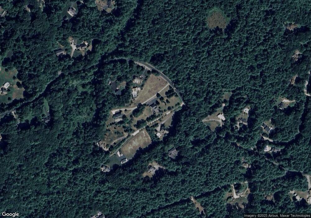
41 Nevins Rd Hollis, NH 03049
Hollis NeighborhoodEstimated Value: $794,000 - $1,151,000
4
Beds
3
Baths
3,748
Sq Ft
$266/Sq Ft
Est. Value
About This Home
This home is located at 41 Nevins Rd, Hollis, NH 03049 and is currently estimated at $998,650, approximately $266 per square foot. 41 Nevins Rd is a home with nearby schools including Hollis Primary School, Hollis Upper Elementary School, and Hollis-Brookline Middle School.
Create a Home Valuation Report for This Property
The Home Valuation Report is an in-depth analysis detailing your home's value as well as a comparison with similar homes in the area
Home Values in the Area
Average Home Value in this Area
Tax History Compared to Growth
Tax History
| Year | Tax Paid | Tax Assessment Tax Assessment Total Assessment is a certain percentage of the fair market value that is determined by local assessors to be the total taxable value of land and additions on the property. | Land | Improvement |
|---|---|---|---|---|
| 2024 | $15,257 | $860,500 | $251,800 | $608,700 |
| 2023 | $14,336 | $860,500 | $251,800 | $608,700 |
| 2022 | $19,421 | $860,500 | $251,800 | $608,700 |
| 2021 | $12,510 | $551,100 | $164,600 | $386,500 |
| 2020 | $12,774 | $551,100 | $164,600 | $386,500 |
| 2019 | $12,730 | $551,100 | $164,600 | $386,500 |
| 2018 | $11,862 | $551,100 | $164,600 | $386,500 |
| 2017 | $11,934 | $515,500 | $144,600 | $370,900 |
| 2016 | $12,078 | $515,500 | $144,600 | $370,900 |
| 2015 | $11,867 | $515,500 | $144,600 | $370,900 |
| 2014 | $11,924 | $515,500 | $144,600 | $370,900 |
| 2013 | $11,659 | $510,900 | $144,600 | $366,300 |
Source: Public Records
Map
Nearby Homes
- 8 Pilgrim Cir
- 77 Mooar Hill Rd
- 4-13 Woodmont Dr
- 199 Pine Hill Rd
- 40-40A Pine Hill Rd
- 77 Deerwood Dr Unit E
- 75 Deerwood Dr Unit B
- 3 Roedean Dr Unit C-207
- 5 Dumaine Ave Unit B
- 5 Dumaine Ave Unit N
- 25 Eastern Ave
- 201 Millwright Dr
- 102 Silver Lake Rd
- 3 Wood Ln
- 118 Broad St
- 77 Broad St
- 36 Hampton Dr
- 10 Drouin Way
- 4 Jared Cir Unit U21
- 5 Chatfield Dr Unit U18