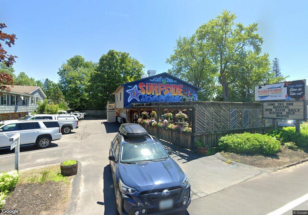
41 New Hampshire 25 Meredith, NH 03253
Estimated Value: $793,160
--
Bed
--
Bath
2,468
Sq Ft
$321/Sq Ft
Est. Value
About This Home
This home is located at 41 New Hampshire 25, Meredith, NH 03253 and is currently estimated at $793,160, approximately $321 per square foot. 41 New Hampshire 25 is a home located in Belknap County with nearby schools including Inter-Lakes Elementary School and Lakeland School.
Ownership History
Date
Name
Owned For
Owner Type
Purchase Details
Closed on
Jun 1, 2016
Sold by
Goren Ft and Goren
Bought by
King Samuel Holdings L
Current Estimated Value
Purchase Details
Closed on
Apr 24, 1998
Sold by
Bent George L and Bent Leonard S
Bought by
Goren James N and Goren Barbara
Home Financials for this Owner
Home Financials are based on the most recent Mortgage that was taken out on this home.
Original Mortgage
$196,000
Interest Rate
7.11%
Mortgage Type
Commercial
Create a Home Valuation Report for This Property
The Home Valuation Report is an in-depth analysis detailing your home's value as well as a comparison with similar homes in the area
Home Values in the Area
Average Home Value in this Area
Purchase History
| Date | Buyer | Sale Price | Title Company |
|---|---|---|---|
| King Samuel Holdings L | $360,000 | -- | |
| King Samuel Holdings L | $360,000 | -- | |
| Goren James N | $220,000 | -- | |
| Goren James N | $220,000 | -- |
Source: Public Records
Mortgage History
| Date | Status | Borrower | Loan Amount |
|---|---|---|---|
| Previous Owner | Goren James N | $196,000 |
Source: Public Records
Tax History Compared to Growth
Tax History
| Year | Tax Paid | Tax Assessment Tax Assessment Total Assessment is a certain percentage of the fair market value that is determined by local assessors to be the total taxable value of land and additions on the property. | Land | Improvement |
|---|---|---|---|---|
| 2024 | $4,797 | $467,500 | $236,500 | $231,000 |
| 2023 | $4,624 | $467,500 | $236,500 | $231,000 |
| 2022 | $5,193 | $371,700 | $210,100 | $161,600 |
| 2021 | $4,992 | $371,700 | $210,100 | $161,600 |
| 2020 | $5,068 | $361,500 | $210,100 | $151,400 |
| 2019 | $5,098 | $320,800 | $169,700 | $151,100 |
| 2018 | $5,011 | $320,800 | $169,700 | $151,100 |
| 2016 | $4,552 | $292,000 | $176,800 | $115,200 |
| 2015 | $4,438 | $292,000 | $176,800 | $115,200 |
| 2014 | $4,330 | $292,000 | $176,800 | $115,200 |
| 2013 | $4,186 | $290,500 | $176,800 | $113,700 |
Source: Public Records
Map
Nearby Homes
- 7 Mudgett Ave
- 11 Highland St
- 15 Highland St
- 12 Highland St
- 11 & 12 Highland St
- 8 Water St Unit 2
- 111 Nh Route 25
- 99 Pleasant St
- 8 Kelly Ln
- 142 Nh Route 25
- 20 True Rd Unit 85
- 20 True Rd Unit 101
- 20 True Rd Unit 63
- 32 Boynton Rd
- 4 Pike Island Rd
- 21 Upper Ladd Hill Rd Unit D
- 21 Upper Ladd Hill Rd Unit A
- 21 Upper Ladd Hill Rd Unit E
- 21 Upper Ladd Hill Rd Unit C
- 21 Upper Ladd Hill Rd Unit B
- 41 Nh Route 25
- 45 New Hampshire 25
- 45 Route 25
- 43 Whittier Hwy
- 4 Pleasant St
- 6 Pleasant St
- 2 Pleasant St
- 8 Pleasant St Unit SLIP 8
- 8 Pleasant St
- 10 Pleasant St
- 52 New Hampshire 25
- 56 New Hampshire 25
- 12 Pleasant St Unit 3B
- 12 Pleasant St Unit 3A
- 12 Pleasant St Unit 2B
- 12 Pleasant St Unit 2A
- 12 Pleasant St Unit 1B
- 12 Pleasant St Unit 1A
- 12 Pleasant St Unit 3B
- 12 Pleasant St Unit 3B