41 Nubbin Way Cumberland Foreside, ME 04110
Cumberland Foreside NeighborhoodEstimated Value: $3,360,000 - $3,763,834
5
Beds
4
Baths
4,174
Sq Ft
$853/Sq Ft
Est. Value
About This Home
This home is located at 41 Nubbin Way, Cumberland Foreside, ME 04110 and is currently estimated at $3,561,917, approximately $853 per square foot. 41 Nubbin Way is a home with nearby schools including Mabel I. Wilson School, Greely Middle School 4-5, and Greely Middle School.
Ownership History
Date
Name
Owned For
Owner Type
Purchase Details
Closed on
Nov 4, 2019
Sold by
Forum Financial Llc
Bought by
Forum Holdings Corp 1
Current Estimated Value
Purchase Details
Closed on
Nov 17, 2015
Sold by
Forum T Llc
Bought by
Forum Financial Llc
Purchase Details
Closed on
Oct 6, 2006
Sold by
Porteous Robert Est and Wheaton
Bought by
Forum Tllc
Create a Home Valuation Report for This Property
The Home Valuation Report is an in-depth analysis detailing your home's value as well as a comparison with similar homes in the area
Home Values in the Area
Average Home Value in this Area
Purchase History
| Date | Buyer | Sale Price | Title Company |
|---|---|---|---|
| Forum Holdings Corp 1 | -- | None Available | |
| Forum Holdings Corp 1 | -- | None Available | |
| Forum Financial Llc | -- | -- | |
| Forum Financial Llc | -- | -- | |
| Forum Tllc | -- | -- | |
| Forum Tllc | -- | -- |
Source: Public Records
Mortgage History
| Date | Status | Borrower | Loan Amount |
|---|---|---|---|
| Previous Owner | Forum Tllc | $3,000,000 |
Source: Public Records
Tax History Compared to Growth
Tax History
| Year | Tax Paid | Tax Assessment Tax Assessment Total Assessment is a certain percentage of the fair market value that is determined by local assessors to be the total taxable value of land and additions on the property. | Land | Improvement |
|---|---|---|---|---|
| 2025 | $70,501 | $2,799,900 | $2,409,600 | $390,300 |
| 2024 | $65,098 | $2,799,900 | $2,409,600 | $390,300 |
| 2023 | $62,018 | $2,799,900 | $2,409,600 | $390,300 |
| 2022 | $59,358 | $2,799,900 | $2,409,600 | $390,300 |
| 2021 | $57,538 | $2,799,900 | $2,409,600 | $390,300 |
| 2020 | $56,978 | $2,799,900 | $2,409,600 | $390,300 |
| 2019 | $55,578 | $2,799,900 | $2,409,600 | $390,300 |
| 2018 | $56,391 | $2,862,500 | $2,409,600 | $452,900 |
| 2017 | $53,815 | $2,862,500 | $2,409,600 | $452,900 |
| 2016 | $52,241 | $2,862,500 | $2,409,600 | $452,900 |
| 2015 | $51,811 | $2,862,500 | $2,409,600 | $452,900 |
| 2014 | $49,808 | $2,862,500 | $2,409,600 | $452,900 |
| 2013 | $48,663 | $2,862,500 | $2,409,600 | $452,900 |
Source: Public Records
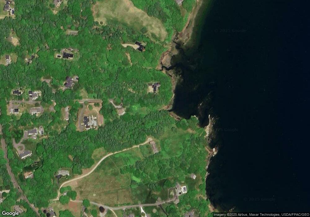
Map
Nearby Homes
- 15 Sea Cove Rd
- 186 Foreside Rd
- 59 Underwood Rd
- 30 Seaside Way Unit Lot 3
- 263 Foreside Rd
- 258 Foreside Rd
- 78 Applegate Ln
- 5 Harmony Way
- 24 York Ledge Dr
- 54 Longwoods Rd
- 11 Coastal Pines Lot 5
- Lot 8 Coastal Pines
- 90 Harris Lot 1 Rd
- R03-54-4 Longwoods Rd
- Lot 3 Dunham Ln
- 267 U S Route 1 Unit 308
- 267 U S Route 1 Unit 404
- 267 U S Route 1 Unit 306
- 267 U S Route 1 Unit 211
- 267 U S Route 1 Unit 309 & 311