41 Nutter Cir Barnstead, NH 03225
Estimated Value: $374,000 - $413,000
3
Beds
2
Baths
1,186
Sq Ft
$326/Sq Ft
Est. Value
About This Home
This home is located at 41 Nutter Cir, Barnstead, NH 03225 and is currently estimated at $386,618, approximately $325 per square foot. 41 Nutter Cir is a home located in Belknap County with nearby schools including Barnstead Elementary School and Prospect Mountain High School.
Ownership History
Date
Name
Owned For
Owner Type
Purchase Details
Closed on
Jun 3, 2010
Sold by
Usa Va
Bought by
Magoon Chad W
Current Estimated Value
Home Financials for this Owner
Home Financials are based on the most recent Mortgage that was taken out on this home.
Original Mortgage
$134,640
Outstanding Balance
$89,509
Interest Rate
5.12%
Mortgage Type
Purchase Money Mortgage
Estimated Equity
$297,109
Purchase Details
Closed on
Mar 15, 2010
Sold by
Urban Robert J and Wells Fargo Bank Na
Bought by
Usa Va
Purchase Details
Closed on
Oct 26, 2005
Sold by
White Michael D and White Evelyn I
Bought by
Urban Robert J
Home Financials for this Owner
Home Financials are based on the most recent Mortgage that was taken out on this home.
Original Mortgage
$194,085
Interest Rate
5.79%
Mortgage Type
Purchase Money Mortgage
Purchase Details
Closed on
Dec 27, 2002
Sold by
North South Holdings C
Bought by
White Michael D and White Evelyn I
Home Financials for this Owner
Home Financials are based on the most recent Mortgage that was taken out on this home.
Original Mortgage
$135,800
Interest Rate
6.02%
Mortgage Type
Purchase Money Mortgage
Create a Home Valuation Report for This Property
The Home Valuation Report is an in-depth analysis detailing your home's value as well as a comparison with similar homes in the area
Home Values in the Area
Average Home Value in this Area
Purchase History
| Date | Buyer | Sale Price | Title Company |
|---|---|---|---|
| Magoon Chad W | $133,000 | -- | |
| Usa Va | $119,000 | -- | |
| Urban Robert J | $190,000 | -- | |
| White Michael D | $140,000 | -- |
Source: Public Records
Mortgage History
| Date | Status | Borrower | Loan Amount |
|---|---|---|---|
| Open | White Michael D | $134,640 | |
| Previous Owner | Urban Robert J | $194,085 | |
| Previous Owner | White Michael D | $135,800 |
Source: Public Records
Tax History
| Year | Tax Paid | Tax Assessment Tax Assessment Total Assessment is a certain percentage of the fair market value that is determined by local assessors to be the total taxable value of land and additions on the property. | Land | Improvement |
|---|---|---|---|---|
| 2025 | $5,023 | $292,900 | $101,500 | $191,400 |
| 2024 | $4,777 | $292,900 | $101,500 | $191,400 |
| 2023 | $4,203 | $292,900 | $101,500 | $191,400 |
| 2022 | $3,840 | $177,800 | $49,600 | $128,200 |
| 2021 | $3,904 | $177,800 | $49,600 | $128,200 |
| 2020 | $4,107 | $177,800 | $49,600 | $128,200 |
| 2019 | $4,082 | $178,800 | $49,600 | $129,200 |
| 2018 | $3,978 | $178,800 | $49,600 | $129,200 |
| 2017 | $3,717 | $128,600 | $31,200 | $97,400 |
| 2016 | $3,504 | $128,600 | $31,200 | $97,400 |
| 2015 | $3,491 | $128,600 | $31,200 | $97,400 |
| 2014 | $3,362 | $140,300 | $38,600 | $101,700 |
| 2013 | $3,297 | $140,300 | $38,600 | $101,700 |
Source: Public Records
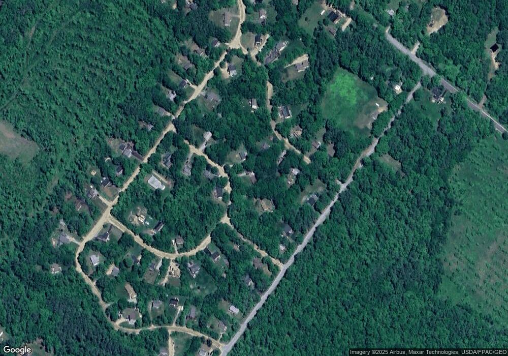
Map
Nearby Homes
- 58 Winwood Dr
- 15 Davis Dr
- 11b Bow Mills Rd
- 4 N Shore Dr
- 956 N Barnstead Rd
- 37446 Shore North Dr
- 9 W Hill Place
- 101 Rogers Rd
- 28 Dalton Dr
- 25 Vail Rd
- 61 Crescent Dr
- 4 Rustic Shores Rd
- 38 Chapelle Rd
- 96 Damsite Rd
- 0 Andover Dr Unit 106 5059711
- 1027 Suncook Valley Rd
- 17 Prospect Mountain Rd
- L68-2 Vail Rd
- L68-1 Vail Rd
- Lot 33 Ridge Rd
Your Personal Tour Guide
Ask me questions while you tour the home.