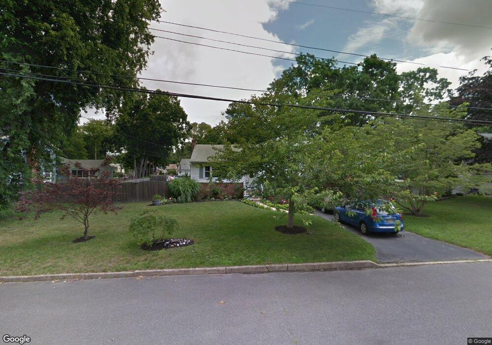
41 Oakside Dr Toms River, NJ 08755
Estimated Value: $481,262 - $511,000
3
Beds
2
Baths
1,932
Sq Ft
$259/Sq Ft
Est. Value
About This Home
This home is located at 41 Oakside Dr, Toms River, NJ 08755 and is currently estimated at $499,566, approximately $258 per square foot. 41 Oakside Dr is a home located in Ocean County with nearby schools including St Joseph Grade School, Ambassador Christian Academy, and Donovan Catholic High School.
Ownership History
Date
Name
Owned For
Owner Type
Purchase Details
Closed on
Jan 20, 2015
Sold by
Anderson Michael H and Anderson Linda B
Bought by
Anderson Michael H and Anderson Linda B
Current Estimated Value
Home Financials for this Owner
Home Financials are based on the most recent Mortgage that was taken out on this home.
Original Mortgage
$265,825
Outstanding Balance
$202,932
Interest Rate
3.75%
Mortgage Type
New Conventional
Estimated Equity
$296,634
Purchase Details
Closed on
Jan 26, 1999
Sold by
Whitehead Eleanor
Bought by
Anderson Michael H and Jackson Linda B
Home Financials for this Owner
Home Financials are based on the most recent Mortgage that was taken out on this home.
Original Mortgage
$124,700
Interest Rate
6.74%
Mortgage Type
FHA
Create a Home Valuation Report for This Property
The Home Valuation Report is an in-depth analysis detailing your home's value as well as a comparison with similar homes in the area
Home Values in the Area
Average Home Value in this Area
Purchase History
| Date | Buyer | Sale Price | Title Company |
|---|---|---|---|
| Anderson Michael H | -- | None Available | |
| Anderson Michael H | $127,000 | -- |
Source: Public Records
Mortgage History
| Date | Status | Borrower | Loan Amount |
|---|---|---|---|
| Open | Anderson Michael H | $265,825 | |
| Closed | Anderson Michael H | $124,700 |
Source: Public Records
Tax History Compared to Growth
Tax History
| Year | Tax Paid | Tax Assessment Tax Assessment Total Assessment is a certain percentage of the fair market value that is determined by local assessors to be the total taxable value of land and additions on the property. | Land | Improvement |
|---|---|---|---|---|
| 2025 | $6,104 | $335,200 | $103,000 | $232,200 |
| 2024 | $5,802 | $335,200 | $103,000 | $232,200 |
| 2023 | $5,594 | $335,200 | $103,000 | $232,200 |
| 2022 | $5,594 | $335,200 | $103,000 | $232,200 |
| 2021 | $5,113 | $208,100 | $93,300 | $114,800 |
| 2020 | $5,190 | $208,100 | $93,300 | $114,800 |
| 2019 | $4,965 | $208,100 | $93,300 | $114,800 |
| 2018 | $4,899 | $208,100 | $93,300 | $114,800 |
| 2017 | $4,857 | $208,100 | $93,300 | $114,800 |
| 2016 | $4,730 | $208,100 | $93,300 | $114,800 |
| 2015 | $4,551 | $208,100 | $93,300 | $114,800 |
| 2014 | $4,333 | $208,100 | $93,300 | $114,800 |
Source: Public Records
Map
Nearby Homes
- 44 Shady Nook Dr
- 59 Sun Valley Rd
- 15 Oak Leaf Ln
- 56 Cliffside Dr
- 12 Woodridge Ave
- 20 Woodridge Ave
- 33 Jordan Dr
- 39 Blue Jay Dr
- 30 Smith Rd
- 17 Ridgewood Dr
- 109 Woodridge Ave
- 30 Patrick Ct
- 533 Skylark Dr
- 12 Harley Rd
- 502 River Terrace
- 30 Chutney St
- 13 Saint Pierri Ct
- 927 Edgebrook Dr N
- 7 Oxford Dr
- 32 Camelot Dr
- 11 Pine Fork Dr
- 8 Winding River Dr
- 45 Oakside Dr
- 13 Pine Fork Dr
- 9 Pine Fork Dr
- 17 Oakside Dr
- 38 Oakside Dr
- 14 Winding River Dr
- 49 Oakside Dr
- 36 Oakside Dr
- 15 Pine Fork Dr
- 7 Pine Fork Dr
- 40 Oakside Dr
- 33 Oakside Dr
- 8 Pine Fork Dr
- 34 Oakside Dr
- 6 Pine Fork Dr
- 44 Oakside Dr
- 16 Winding River Dr
- 12 Pine Fork Dr