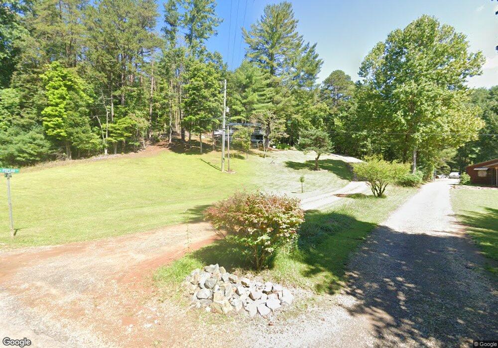
41 Poplar Cove Murphy, NC 28906
Estimated Value: $137,000 - $348,000
2
Beds
2
Baths
1,024
Sq Ft
$233/Sq Ft
Est. Value
About This Home
This home is located at 41 Poplar Cove, Murphy, NC 28906 and is currently estimated at $238,234, approximately $232 per square foot. 41 Poplar Cove is a home located in Cherokee County with nearby schools including Ranger Elementary/Middle School and Hiwassee Dam High School.
Ownership History
Date
Name
Owned For
Owner Type
Purchase Details
Closed on
Dec 17, 2010
Sold by
Roberts Gregory and Roberts Joan
Bought by
Roberts Gregory and Roberts Joan
Current Estimated Value
Purchase Details
Closed on
Nov 30, 2010
Sold by
Bank Of New York Mellon
Bought by
Roberts Gregory
Purchase Details
Closed on
Apr 14, 2010
Sold by
Mcgaha Michael and Mcgaha Ashley
Bought by
The Bank Of New York Melton
Purchase Details
Closed on
Feb 11, 2005
Sold by
Bolt George and Bolt Barbara
Bought by
Mcgaha Michael and Mcgaha Ashley
Home Financials for this Owner
Home Financials are based on the most recent Mortgage that was taken out on this home.
Original Mortgage
$85,310
Interest Rate
8.65%
Mortgage Type
Adjustable Rate Mortgage/ARM
Create a Home Valuation Report for This Property
The Home Valuation Report is an in-depth analysis detailing your home's value as well as a comparison with similar homes in the area
Home Values in the Area
Average Home Value in this Area
Purchase History
| Date | Buyer | Sale Price | Title Company |
|---|---|---|---|
| Roberts Gregory | -- | None Available | |
| Roberts Gregory | $54,000 | None Available | |
| The Bank Of New York Melton | $81,000 | -- | |
| Mcgaha Michael | $90,000 | -- |
Source: Public Records
Mortgage History
| Date | Status | Borrower | Loan Amount |
|---|---|---|---|
| Previous Owner | Mcgaha Michael | $85,310 |
Source: Public Records
Tax History
| Year | Tax Paid | Tax Assessment Tax Assessment Total Assessment is a certain percentage of the fair market value that is determined by local assessors to be the total taxable value of land and additions on the property. | Land | Improvement |
|---|---|---|---|---|
| 2025 | $721 | $90,840 | $0 | $0 |
| 2024 | $7 | $90,840 | $0 | $0 |
| 2023 | $661 | $90,840 | $0 | $0 |
| 2022 | $661 | $90,840 | $0 | $0 |
| 2021 | $561 | $90,840 | $12,950 | $77,890 |
| 2020 | $525 | $90,840 | $0 | $0 |
| 2019 | $475 | $71,540 | $0 | $0 |
| 2018 | $475 | $71,540 | $0 | $0 |
| 2017 | $475 | $71,540 | $0 | $0 |
| 2016 | $475 | $71,540 | $0 | $0 |
| 2015 | $475 | $71,540 | $19,440 | $52,100 |
| 2012 | -- | $71,540 | $19,440 | $52,100 |
Source: Public Records
Map
Nearby Homes
- 1456 Orton Rd
- Lot 164 Tracks Hollow
- 0 Tracks Hollow
- 41 Carvers View Trail
- 318 Tracks Hollow
- 109 Newt Creek
- 163 Yellow Maple Ln
- lot 20 Yellow Maple Ln
- Lot #20 Yellow Maple Ln
- 89 Box Turtle Ln
- Lot 132 Sanctuary Dr
- 28/29 Sanctuary Dr
- 337 Simpson Mountain Rd
- 337 Simpson Mountain Rd
- 329 Marrestop Rd
- Lot 37 Great Sky Trail
- Lot 182 Skyline View Rd
- Lot 183 Skyline View Rd
- 187 Mahoosec Trail
- 311 Twin Cedars Dr
- 771 Orton Rd
- 771 Orton Rd
- 767 Orton Rd
- 736 Orton Rd
- 00 Orton Rd Whittler's Mountain
- 901 Orton Rd
- 602 Orton Rd
- 896 Orton Rd
- 896 Orton Rd
- 00 Whittlers Mtn Rd
- 590 Orton Rd
- 50 Neighborly Way
- 00 Whittlers Mountain Rd
- 0 Orton Rd Unit 252159
- . Orton Rd
- TBD Orton Rd
- LOT 6 Orton Rd
- LOT 1 Orton Rd
- 1300 Orton Rd
- 1200 Orton Rd
Your Personal Tour Guide
Ask me questions while you tour the home.