41 R W Ridge Rd Leicester, NC 28748
Estimated Value: $308,000 - $428,000
3
Beds
4
Baths
2,020
Sq Ft
$179/Sq Ft
Est. Value
About This Home
This home is located at 41 R W Ridge Rd, Leicester, NC 28748 and is currently estimated at $361,667, approximately $179 per square foot. 41 R W Ridge Rd is a home with nearby schools including Leicester Elementary School, Clyde A. Erwin High School, and Clyde A. Erwin Middle School.
Ownership History
Date
Name
Owned For
Owner Type
Purchase Details
Closed on
Mar 14, 2007
Sold by
Banks Kimberly W
Bought by
Banks Roger L
Current Estimated Value
Purchase Details
Closed on
Aug 29, 2003
Sold by
Wells Sandra Kay
Bought by
Banks Roger L and Banks Kimberly W
Home Financials for this Owner
Home Financials are based on the most recent Mortgage that was taken out on this home.
Original Mortgage
$150,000
Outstanding Balance
$67,087
Interest Rate
5.72%
Mortgage Type
Construction
Estimated Equity
$294,580
Create a Home Valuation Report for This Property
The Home Valuation Report is an in-depth analysis detailing your home's value as well as a comparison with similar homes in the area
Home Values in the Area
Average Home Value in this Area
Purchase History
| Date | Buyer | Sale Price | Title Company |
|---|---|---|---|
| Banks Roger L | -- | None Available | |
| Banks Roger L | -- | -- |
Source: Public Records
Mortgage History
| Date | Status | Borrower | Loan Amount |
|---|---|---|---|
| Open | Banks Roger L | $150,000 |
Source: Public Records
Tax History Compared to Growth
Tax History
| Year | Tax Paid | Tax Assessment Tax Assessment Total Assessment is a certain percentage of the fair market value that is determined by local assessors to be the total taxable value of land and additions on the property. | Land | Improvement |
|---|---|---|---|---|
| 2025 | $1,679 | $255,200 | $29,000 | $226,200 |
| 2024 | $1,679 | $255,200 | $29,000 | $226,200 |
| 2023 | $1,679 | $255,200 | $29,000 | $226,200 |
| 2022 | $1,603 | $255,200 | $0 | $0 |
| 2021 | $1,603 | $255,200 | $0 | $0 |
| 2020 | $1,338 | $200,000 | $0 | $0 |
| 2019 | $1,338 | $200,000 | $0 | $0 |
| 2018 | $1,338 | $200,000 | $0 | $0 |
| 2017 | $1,358 | $183,100 | $0 | $0 |
| 2016 | $1,362 | $183,100 | $0 | $0 |
| 2015 | $1,362 | $183,100 | $0 | $0 |
| 2014 | $1,307 | $183,100 | $0 | $0 |
Source: Public Records
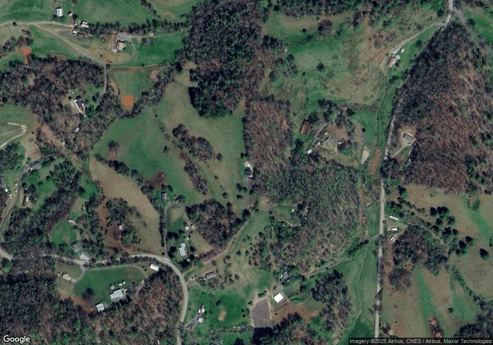
Map
Nearby Homes
- 81 Mount Airy Rd
- 167 Selby Dr
- 83 Mount Airy Rd
- 9999 Davis Cove Rd
- TBD Don Felmet Rd
- 69 Heslar Way
- 3 the Shepherd Ridge
- 14 Harkins Ln
- 99 Colton Dr
- 30 Shire Way Ln
- 7550 Meadows Town Rd
- 99999 Meadows Town Rd
- 24 Bob Wright Hill Rd
- 51 Farmstead Rd
- 211 Wimbledon Ct
- 118 Timber Ridge Cir Unit LOT 15
- 31 Timber Hill Dr Unit LOT 19
- 99 Timber Ridge Cir
- 199 Sandy Mush Creek Rd
- 6 Sunrise Valley
- 3897 New Leicester Hwy
- 16 R W Ridge Rd
- 150 Meadows Town Rd
- 3901 New Leicester Hwy
- 3889 New Leicester Hwy
- 100 Meadows Town Rd
- 3883 New Leicester Hwy
- 151 Meadows Town Rd
- 45 Farmer Dr
- 3923 New Leicester Hwy
- 3849 New Leicester Hwy
- 3845 New Leicester Hwy
- 3863 New Leicester Hwy
- 3851 New Leicester Hwy
- 200 Meadows Town Rd
- 3845 New Leicester Hwy
- 200 Meadows Town Rd
- 4 Union Hill Dr
- 26 Farmer Dr
- 3866 New Leicester Hwy