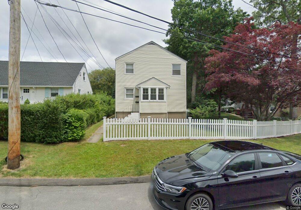
41 Raymonds Dr Fairfield, CT 06824
University NeighborhoodEstimated Value: $673,000 - $892,887
5
Beds
2
Baths
2,112
Sq Ft
$365/Sq Ft
Est. Value
About This Home
This home is located at 41 Raymonds Dr, Fairfield, CT 06824 and is currently estimated at $771,472, approximately $365 per square foot. 41 Raymonds Dr is a home located in Fairfield County with nearby schools including Holland Hill Elementary, Fairfield Woods Middle School, and Fairfield Ludlowe High School.
Ownership History
Date
Name
Owned For
Owner Type
Purchase Details
Closed on
Jun 26, 2025
Sold by
Giovanni Raymond
Bought by
Raymond T Giovanni Lt and Giovanni
Current Estimated Value
Purchase Details
Closed on
Jan 17, 2013
Sold by
Giovanni Robert
Bought by
Giovanni Raymond
Purchase Details
Closed on
Dec 9, 2010
Sold by
Giovannini Mary R
Bought by
Giovannini Ft
Create a Home Valuation Report for This Property
The Home Valuation Report is an in-depth analysis detailing your home's value as well as a comparison with similar homes in the area
Home Values in the Area
Average Home Value in this Area
Purchase History
| Date | Buyer | Sale Price | Title Company |
|---|---|---|---|
| Raymond T Giovanni Lt | -- | -- | |
| Giovanni Raymond | -- | -- | |
| Giovanni Raymond | -- | -- | |
| Giovannini Ft | -- | -- | |
| Giovannini Ft | -- | -- |
Source: Public Records
Mortgage History
| Date | Status | Borrower | Loan Amount |
|---|---|---|---|
| Previous Owner | Giovannini Ft | $150,000 |
Source: Public Records
Tax History Compared to Growth
Tax History
| Year | Tax Paid | Tax Assessment Tax Assessment Total Assessment is a certain percentage of the fair market value that is determined by local assessors to be the total taxable value of land and additions on the property. | Land | Improvement |
|---|---|---|---|---|
| 2025 | $9,686 | $341,180 | $241,990 | $99,190 |
| 2024 | $9,519 | $341,180 | $241,990 | $99,190 |
| 2023 | $9,386 | $341,180 | $241,990 | $99,190 |
| 2022 | $9,294 | $341,180 | $241,990 | $99,190 |
| 2021 | $9,205 | $341,180 | $241,990 | $99,190 |
| 2020 | $7,809 | $291,480 | $198,800 | $92,680 |
| 2019 | $7,809 | $291,480 | $198,800 | $92,680 |
| 2018 | $7,683 | $291,480 | $198,800 | $92,680 |
| 2017 | $7,526 | $291,480 | $198,800 | $92,680 |
| 2016 | $7,418 | $291,480 | $198,800 | $92,680 |
| 2015 | $7,543 | $304,290 | $209,160 | $95,130 |
| 2014 | $7,425 | $304,290 | $209,160 | $95,130 |
Source: Public Records
Map
Nearby Homes
- 245 Sunnyridge Ave Unit 33
- 240 Sunnyridge Ave Unit 116
- 378 High St
- 274 High St
- 109 Jeniford Rd
- 37 Biro St
- 17 Hazel St
- 156 Halley Ave
- 293 Sigwin Dr
- 145 Brentwood Ave
- 130 Brentwood Ave
- 89 Grace St
- 41 Pepperbush Ln
- 108 Roseville St
- 42 Robin Cir
- 12 Sugar Plum Ln
- 15 Barton Rd
- 855 Brewster St Unit 857
- 359 Reid St
- 3250 Fairfield Ave Unit 302
- 25 Raymonds Dr
- 28 Raymonds Cir
- 29 Rodgers Rd
- 29 Rodgers Rd Unit 29
- 28 Raymonds Dr
- 438 High St
- 30 Raymonds Cir
- 54 Raymonds Cir
- 27 Rodgers Rd
- 27 Rodgers Rd Unit 27
- 424 High St
- 450 High St
- 400 High St
- 24 Raymonds Cir
- 66 Raymonds Dr
- 43 Raymonds Dr
- 60 Raymonds Dr
- 64 Raymonds Dr
- 64 Raymonds Dr Unit 64
- 478 High St