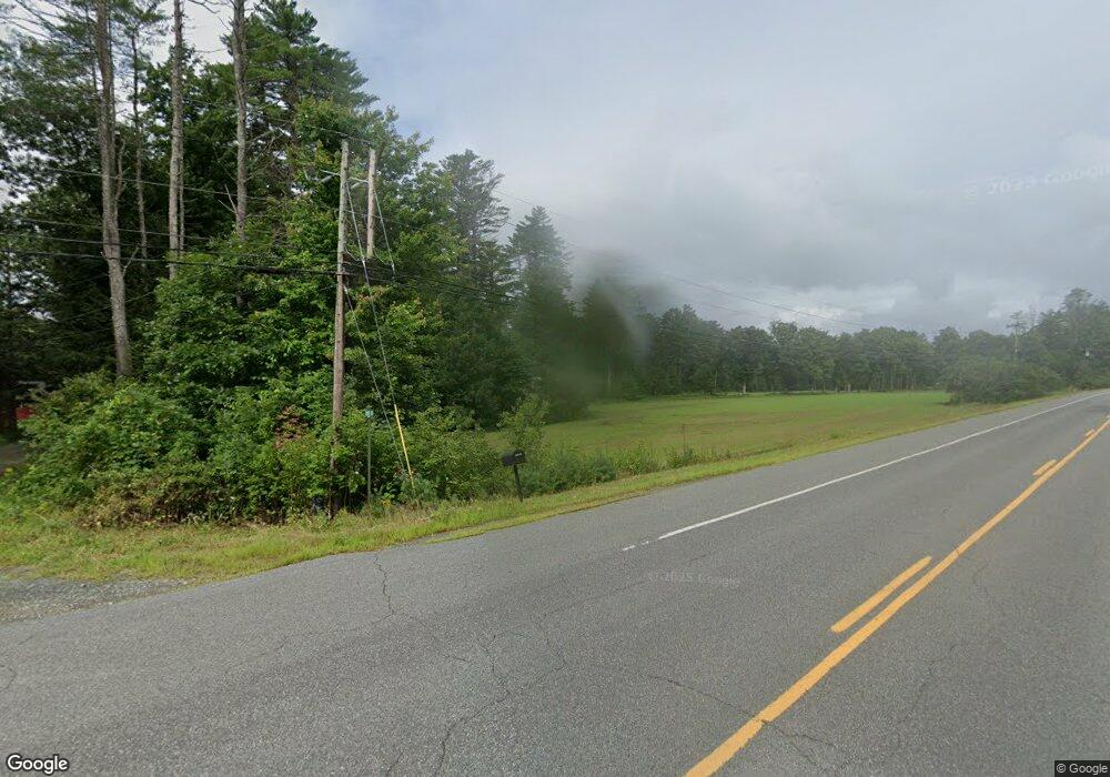
41 River Rd Cornish, NH 03745
Cornish Colony NeighborhoodEstimated Value: $817,000 - $1,159,219
4
Beds
4
Baths
3,835
Sq Ft
$246/Sq Ft
Est. Value
About This Home
This home is located at 41 River Rd, Cornish, NH 03745 and is currently estimated at $944,406, approximately $246 per square foot. 41 River Rd is a home located in Sullivan County with nearby schools including Cornish Elementary School, Estabrook Christian School, and Foundations Upper Valley.
Ownership History
Date
Name
Owned For
Owner Type
Purchase Details
Closed on
Feb 15, 2019
Sold by
Bertolami Margaret P
Bought by
41 River Road Rt
Current Estimated Value
Purchase Details
Closed on
Sep 15, 2010
Sold by
Delaney Antoinette
Bought by
Bertolami Margaret P
Create a Home Valuation Report for This Property
The Home Valuation Report is an in-depth analysis detailing your home's value as well as a comparison with similar homes in the area
Home Values in the Area
Average Home Value in this Area
Purchase History
| Date | Buyer | Sale Price | Title Company |
|---|---|---|---|
| 41 River Road Rt | -- | -- | |
| Bertolami Margaret P | $650,000 | -- |
Source: Public Records
Mortgage History
| Date | Status | Borrower | Loan Amount |
|---|---|---|---|
| Previous Owner | Bertolami Margaret P | $90,000 |
Source: Public Records
Tax History Compared to Growth
Tax History
| Year | Tax Paid | Tax Assessment Tax Assessment Total Assessment is a certain percentage of the fair market value that is determined by local assessors to be the total taxable value of land and additions on the property. | Land | Improvement |
|---|---|---|---|---|
| 2024 | $14,840 | $916,600 | $226,700 | $689,900 |
| 2023 | $13,442 | $512,483 | $135,683 | $376,800 |
| 2022 | $12,151 | $513,361 | $136,561 | $376,800 |
| 2021 | $11,678 | $514,231 | $137,431 | $376,800 |
| 2020 | $10,948 | $514,223 | $137,423 | $376,800 |
| 2019 | $10,041 | $514,400 | $137,600 | $376,800 |
| 2018 | $10,868 | $494,231 | $152,631 | $341,600 |
| 2017 | $10,776 | $500,738 | $152,638 | $348,100 |
| 2016 | $10,718 | $500,823 | $152,723 | $348,100 |
| 2015 | $11,516 | $500,915 | $152,815 | $348,100 |
| 2014 | $11,378 | $500,800 | $207,300 | $293,500 |
| 2013 | $10,475 | $499,523 | $146,600 | $352,923 |
Source: Public Records
Map
Nearby Homes
- 223 Taylor Dr
- 16 Nh Route 12a
- 473 Taylor Dr
- 68 Jarvis St Unit 70
- 14 Summarsell Dr Unit 16
- 00 Barber Ln
- 56 Mount Hunger Rd
- 846 New Hampshire 12a
- 00 Tandy Brook Rd Unit 12
- 23 Cubb Ct
- 11 Cubb Ct
- 84 Cubb Ct
- 108 Cubb Ct
- 505 Back Mountain Rd Unit 14
- 517 Back Mountain Rd
- 282 Skunk Hollow Rd
- 1500 Brownsville-Hartland Rd
- 104 Deer Run Rd Unit C13
- 1041 Stage Rd
- 00 Nh Route 12a Unit 7
- 112 Nh Route 12a
- 18 Butternut Dr
- 841 Us Route 5 N
- 112 Maxfield Parish Hwy
- 31 Hildreth Ln
- 97 Nh Route 12a
- 121 Nh Route 12a
- 54 Nh Route 12a
- 8 Kuzma Dr
- 19 Whalen Way
- 31 Mastland Dr
- 8 Mastland Dr
- 1130 Us Route 5 N
- 1106 Us Route 5 N
- 40 Snow Lane Parcel#3
- 957 Us Route 5 N
- 1044 Route 5 N
- 21 Kuzma Dr
- 996 Us Route 5 N Unit 1
- 125 Taylor Dr
