41 Sailmaker Ct Swansea, MA 02777
West Swansea NeighborhoodEstimated Value: $850,000 - $1,130,000
3
Beds
4
Baths
3,479
Sq Ft
$291/Sq Ft
Est. Value
About This Home
This home is located at 41 Sailmaker Ct, Swansea, MA 02777 and is currently estimated at $1,010,972, approximately $290 per square foot. 41 Sailmaker Ct is a home located in Bristol County with nearby schools including Joseph Case High School, SCEC Life Academy, and Swansea Wood School.
Ownership History
Date
Name
Owned For
Owner Type
Purchase Details
Closed on
Aug 8, 2023
Sold by
Melo
Bought by
Mizner
Current Estimated Value
Purchase Details
Closed on
Dec 19, 2011
Sold by
Demelo Raul S and Demelo Lorraine
Bought by
Rs & D Demelo 2011 Irt and Demelo
Purchase Details
Closed on
Aug 29, 2006
Sold by
Mizner Christina D and Mizner Jerry D
Bought by
Demelo Lorraine and Demelo Raul S
Create a Home Valuation Report for This Property
The Home Valuation Report is an in-depth analysis detailing your home's value as well as a comparison with similar homes in the area
Home Values in the Area
Average Home Value in this Area
Purchase History
| Date | Buyer | Sale Price | Title Company |
|---|---|---|---|
| Mizner | -- | None Available | |
| Rs & D Demelo 2011 Irt | -- | -- | |
| Demelo Lorraine | -- | -- | |
| Demelo Lorraine | -- | -- |
Source: Public Records
Tax History Compared to Growth
Tax History
| Year | Tax Paid | Tax Assessment Tax Assessment Total Assessment is a certain percentage of the fair market value that is determined by local assessors to be the total taxable value of land and additions on the property. | Land | Improvement |
|---|---|---|---|---|
| 2025 | $11,908 | $999,000 | $221,000 | $778,000 |
| 2024 | $12,290 | $1,025,000 | $221,000 | $804,000 |
| 2023 | $8,202 | $624,700 | $161,900 | $462,800 |
| 2022 | $8,056 | $559,800 | $135,500 | $424,300 |
| 2021 | $9,112 | $583,000 | $139,100 | $443,900 |
| 2020 | $9,119 | $585,300 | $141,400 | $443,900 |
| 2019 | $9,252 | $596,500 | $128,400 | $468,100 |
| 2018 | $8,911 | $583,200 | $129,400 | $453,800 |
| 2017 | $7,700 | $579,800 | $134,500 | $445,300 |
| 2016 | $7,406 | $547,800 | $109,800 | $438,000 |
| 2015 | $7,060 | $537,700 | $109,800 | $427,900 |
| 2014 | $6,643 | $517,400 | $109,800 | $407,600 |
Source: Public Records
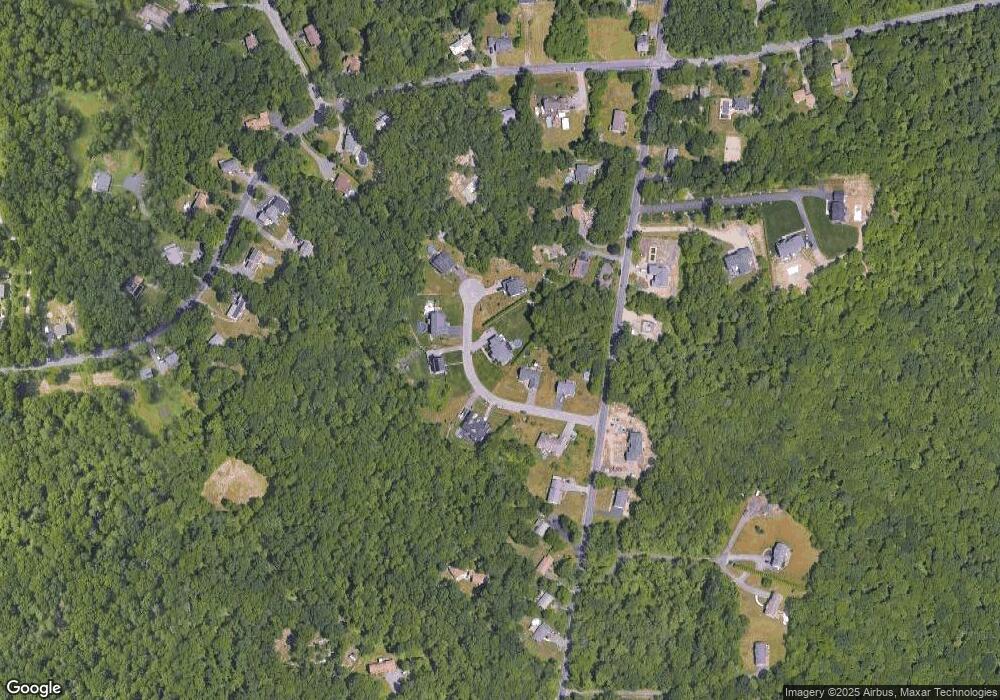
Map
Nearby Homes
- 55 Sailmaker Ct
- 23 Sailmaker Ct
- 3 Sailmaker Ct
- Lot 6 Sailmaker Ct
- 42 Sailmaker Ct
- 814 Sharps Lot Rd
- 7 Sailmaker Ct
- 32 Sailmaker Ct
- 46 Sailmaker Ct
- 8 Sailmaker Ct
- 66 Sailmaker Ct
- 6 Sailmaker Ct
- 6 Sailmaker Ct
- 0CWest Sharps Lot Rd
- 0 Sailmaker Ct
- 822 Sharps Lot Rd
- 560 Marvel St
- 742 Sharps Lot Rd
- 830 Sharps Lot Rd
- 819 Sharps Lot Rd