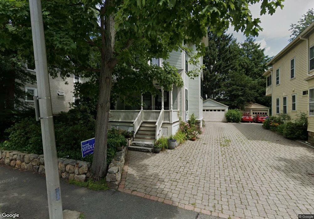
41 Stanton Rd Brookline, MA 02445
Brookline Village NeighborhoodEstimated Value: $2,365,000 - $3,019,000
4
Beds
3
Baths
2,457
Sq Ft
$1,104/Sq Ft
Est. Value
About This Home
This home is located at 41 Stanton Rd, Brookline, MA 02445 and is currently estimated at $2,711,720, approximately $1,103 per square foot. 41 Stanton Rd is a home located in Norfolk County with nearby schools including Pierce School, Brookline High School, and Maimonides School.
Ownership History
Date
Name
Owned For
Owner Type
Purchase Details
Closed on
Jun 27, 2024
Sold by
Pollock Elizabeth S
Bought by
Elizabeth S Pollock T S and Elizabeth Pollock
Current Estimated Value
Purchase Details
Closed on
Nov 20, 2007
Sold by
Seligson Yemena
Bought by
Pollock Elizabeth S
Create a Home Valuation Report for This Property
The Home Valuation Report is an in-depth analysis detailing your home's value as well as a comparison with similar homes in the area
Home Values in the Area
Average Home Value in this Area
Purchase History
| Date | Buyer | Sale Price | Title Company |
|---|---|---|---|
| Elizabeth S Pollock T S | -- | None Available | |
| Elizabeth S Pollock T S | -- | None Available | |
| Pollock Elizabeth S | -- | -- | |
| Pollock Elizabeth S | -- | -- |
Source: Public Records
Tax History Compared to Growth
Tax History
| Year | Tax Paid | Tax Assessment Tax Assessment Total Assessment is a certain percentage of the fair market value that is determined by local assessors to be the total taxable value of land and additions on the property. | Land | Improvement |
|---|---|---|---|---|
| 2025 | $22,144 | $2,243,600 | $1,168,300 | $1,075,300 |
| 2024 | $21,067 | $2,156,300 | $1,123,400 | $1,032,900 |
| 2023 | $18,830 | $1,888,700 | $898,400 | $990,300 |
| 2022 | $18,330 | $1,798,800 | $855,600 | $943,200 |
| 2021 | $16,950 | $1,729,600 | $822,700 | $906,900 |
| 2020 | $15,513 | $1,641,600 | $747,900 | $893,700 |
| 2019 | $14,649 | $1,563,400 | $712,300 | $851,100 |
| 2018 | $13,916 | $1,471,000 | $647,600 | $823,400 |
| 2017 | $13,710 | $1,387,700 | $610,900 | $776,800 |
| 2016 | $13,514 | $1,296,900 | $571,000 | $725,900 |
| 2015 | $12,945 | $1,212,100 | $533,600 | $678,500 |
| 2014 | $13,384 | $1,175,100 | $485,000 | $690,100 |
Source: Public Records
Map
Nearby Homes
- 71 Greenough St Unit 71-1
- 87 Greenough St Unit 1
- 87 Greenough St Unit 2
- 72 Cypress St Unit 1
- 11 Goodwin Place Unit 11-1
- 11 Goodwin Place Unit 11-2
- 370 Washington St
- 12 Goodwin Place Unit 12-1
- 12 Goodwin Place Unit 12-2
- 12 Thayer St
- 24 Auburn St Unit 1
- 24 Auburn St Unit 2
- 24 Auburn St Unit 3
- 8 Leverett St Unit 3
- 84 Winthrop Rd Unit 1
- 84 Winthrop Rd
- 15 Colbourne Crescent Unit 2
- 80 Vernon St Unit 1-A
- 80 Vernon St Unit 2B
- 80 Vernon St Unit PHA
- 34 Greenough St
- 34 Greenough St Unit 2
- 34 Greenough St Unit 1
- 26 Greenough St
- 42 Stanton Rd Unit 3
- 42 Stanton Rd Unit 2
- 42 Stanton Rd Unit 1
- 33 Stanton Rd Unit 3
- 33 Stanton Rd Unit 2
- 33 Stanton Rd Unit 1
- 46 Stanton Rd
- 17 Greenough Cir
- 27 Stanton Rd Unit 3
- 27 Stanton Rd Unit 2
- 27 Stanton Rd Unit 1
- 39 Greenough St
- 29 Greenough St
- 50 Stanton Rd Unit 2
- 50 Stanton Rd Unit 1
- 38 Stanton Rd Unit 3