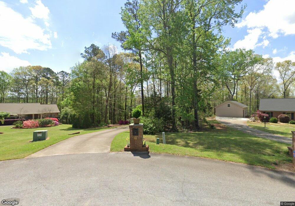
41 Tracechain Stockbridge, GA 30281
Estimated Value: $467,660 - $487,000
About This Home
This home is located at 41 Tracechain, Stockbridge, GA 30281 and is currently estimated at $477,665, approximately $140 per square foot. 41 Tracechain is a home located in Henry County with nearby schools including Pleasant Grove Elementary School, Woodland Middle School, and Woodland High School.
Ownership History
We collect this data history from publicly available records. To have your information removed, we recommend requesting removal directly through your county’s website.
Purchase Details
Home Financials for this Owner
Home Financials are based on the most recent Mortgage that was taken out on this home.Purchase Details
Home Values in the Area
Average Home Value in this Area
Purchase History
We collect this data history from publicly available records. To have your information removed, we recommend requesting removal directly through your county’s website.
| Date | Buyer | Sale Price | Title Company |
|---|---|---|---|
| $320,000 | -- | ||
| $147,200 | -- |
Mortgage History
We collect this data history from publicly available records. To have your information removed, we recommend requesting removal directly through your county’s website.
| Date | Status | Borrower | Loan Amount |
|---|---|---|---|
| Open | $130,000 | ||
| Closed | $0 |
Tax History
We collect this data history from publicly available records. To have your information removed, we recommend requesting removal directly through your county’s website.
| Year | Tax Paid | Tax Assessment Tax Assessment Total Assessment is a certain percentage of the fair market value that is determined by local assessors to be the total taxable value of land and additions on the property. | Land | Improvement |
|---|---|---|---|---|
| 2025 | $5,901 | $198,320 | $23,000 | $175,320 |
| 2024 | $5,901 | $176,960 | $23,000 | $153,960 |
| 2023 | $5,114 | $169,880 | $21,600 | $148,280 |
| 2022 | $5,177 | $151,200 | $19,200 | $132,000 |
| 2021 | $4,626 | $127,880 | $19,200 | $108,680 |
| 2020 | $4,523 | $123,920 | $14,400 | $109,520 |
| 2019 | $4,406 | $120,880 | $14,400 | $106,480 |
| 2018 | $4,190 | $115,240 | $14,400 | $100,840 |
| 2016 | $3,959 | $109,240 | $14,400 | $94,840 |
| 2015 | $4,069 | $109,160 | $14,400 | $94,760 |
| 2014 | $3,956 | $105,200 | $14,400 | $90,800 |
Map
- 150 Plantation Dr
- 150 Buffalo Trace
- 199 Buffalo Trace
- 194 Buffalo Trace
- 186 Buffalo Trace
- 178 Buffalo Trace
- 624 Sidney Ct
- 616 Sidney Ct
- 433 Sheridan Dr
- 1697 Millers Mill Rd
- 405 Sheridan Dr
- 420 Sheridan Dr
- 3112 Highway 155 N
- 1203 Dried Creek Ct
- 160 Tamarack Trail
- 80 Knight Dr
- 3154 Highway 155 N
- 239 Crumbley Rd
- 825 Rapid Ct
- 390 Crumbley Rd
- 38 Tracechain
- 103 Singletree
- 105 Singletree
- 36 Tracechain
- 32 Tracechain
- 3355 Highway 155 N
- 3460 Highway 155 N
- 10 AC Highway 155 N
- 25 Tracechain
- 100 Singletree
- 0 Singletree Unit 31 8343475
- 0 Singletree Unit 31 8248896
- 0 Singletree Unit 31 8805963
- 0 Singletree Unit 31 8678621
- 20 Tracechain
- 106 Singletree
- 2725 Highway 155 N
- 160 Plantation Dr Unit 44
- 160 Plantation Dr
- 140 Plantation Dr
Ask me questions while you tour the home.