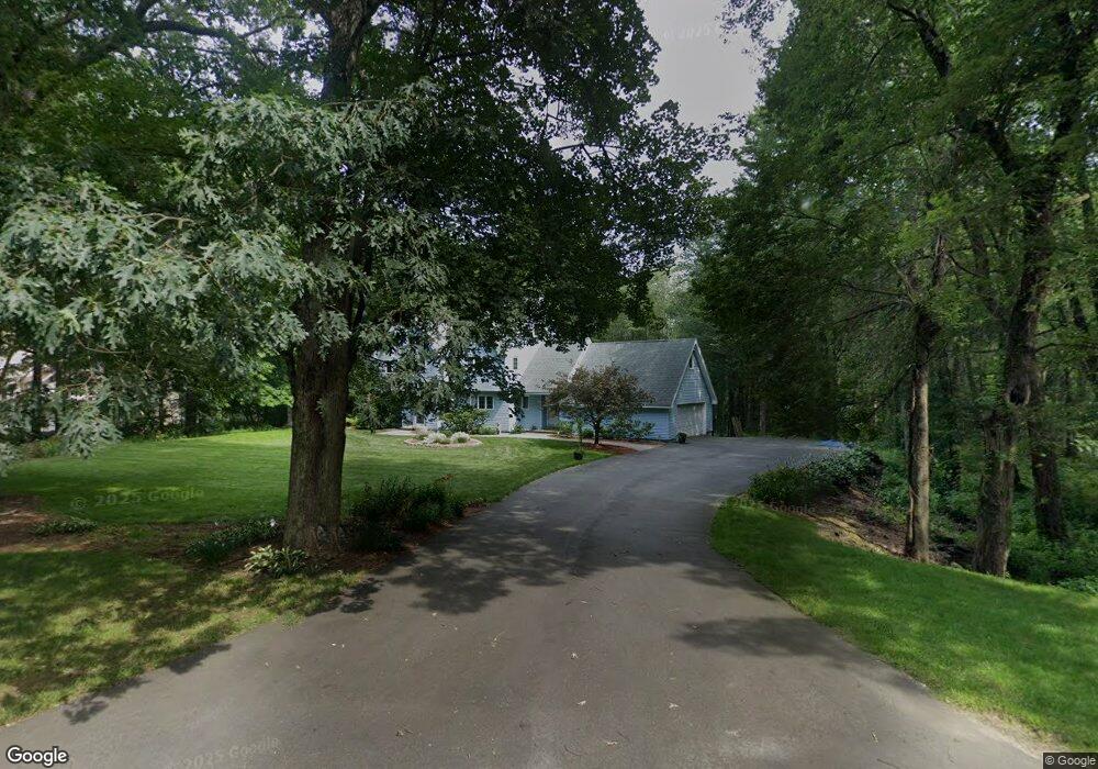
41 Twin Spring Dr Boylston, MA 01505
Estimated Value: $887,835 - $1,044,000
3
Beds
3
Baths
3,111
Sq Ft
$316/Sq Ft
Est. Value
About This Home
This home is located at 41 Twin Spring Dr, Boylston, MA 01505 and is currently estimated at $982,209, approximately $315 per square foot. 41 Twin Spring Dr is a home located in Worcester County with nearby schools including Tahanto Regional High School.
Ownership History
Date
Name
Owned For
Owner Type
Purchase Details
Closed on
Apr 26, 2018
Sold by
Smith Robert L and Smith Paula A
Bought by
Smith Ft
Current Estimated Value
Purchase Details
Closed on
Dec 16, 1983
Bought by
Smith Robert L and Smith Paula A
Create a Home Valuation Report for This Property
The Home Valuation Report is an in-depth analysis detailing your home's value as well as a comparison with similar homes in the area
Home Values in the Area
Average Home Value in this Area
Purchase History
| Date | Buyer | Sale Price | Title Company |
|---|---|---|---|
| Smith Ft | -- | -- | |
| Smith Robert L | $31,500 | -- |
Source: Public Records
Mortgage History
| Date | Status | Borrower | Loan Amount |
|---|---|---|---|
| Previous Owner | Smith Robert L | $130,000 | |
| Previous Owner | Smith Robert L | $146,000 | |
| Previous Owner | Smith Robert L | $150,000 |
Source: Public Records
Tax History
| Year | Tax Paid | Tax Assessment Tax Assessment Total Assessment is a certain percentage of the fair market value that is determined by local assessors to be the total taxable value of land and additions on the property. | Land | Improvement |
|---|---|---|---|---|
| 2025 | $11,253 | $813,700 | $232,600 | $581,100 |
| 2024 | $10,148 | $734,800 | $232,600 | $502,200 |
| 2023 | $9,861 | $684,800 | $205,000 | $479,800 |
| 2022 | $9,632 | $608,100 | $205,000 | $403,100 |
| 2021 | $10,259 | $604,200 | $205,000 | $399,200 |
| 2020 | $9,840 | $594,900 | $204,600 | $390,300 |
| 2019 | $8,979 | $559,800 | $203,000 | $356,800 |
| 2018 | $9,084 | $543,000 | $203,000 | $340,000 |
| 2017 | $8,753 | $543,000 | $203,000 | $340,000 |
| 2016 | $8,213 | $501,700 | $156,600 | $345,100 |
| 2015 | $8,735 | $501,700 | $156,600 | $345,100 |
| 2014 | $8,213 | $472,300 | $143,400 | $328,900 |
Source: Public Records
Map
Nearby Homes
- 30 Bridle Path
- 49 Barnard Hill Rd
- 50 Barnard Hill Rd
- 505 Cross St
- 15 Rocky Pond Rd
- 7-11 Reservoir St
- 9 Morningside Dr
- 24 Morningside Dr
- 8 Hunter Cir
- 59 Linden St
- 81 West St
- 1A Mentzer Ave
- 17 Wilder Rd
- 1 Harmony Ln Unit 4
- 2 Harmony Ln Unit 1
- 63 High St
- 26 High St
- 279 Sewall St Unit 279
- 281 Sewall St Unit 281
- 289 Sewall St Unit 289
- 33 Twin Spring Dr
- 27 Twin Spring Dr
- 51 Twin Spring Dr
- 23 Twin Spring Dr
- 46 Twin Spring Dr
- 38 Twin Spring Dr
- 30 Twin Spring Dr
- 54 Twin Spring Dr
- 18 Twin Spring Dr
- 15 Twin Spring Dr
- 146 Stiles Rd
- 72 Columbus Rd
- 150 Stiles Rd
- 14 Twin Spring Dr
- 60 Twin Spring Dr
- 142 Stiles Rd
- 152 Stiles Rd
- 55 Twin Spring Dr
- 57 Twin Spring Dr
- 143 Stiles Rd
Your Personal Tour Guide
Ask me questions while you tour the home.