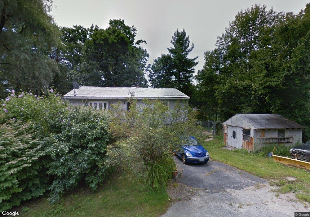
41 Upton Ln Goffstown, NH 03045
Estimated Value: $388,000 - $435,000
3
Beds
2
Baths
1,052
Sq Ft
$390/Sq Ft
Est. Value
About This Home
This home is located at 41 Upton Ln, Goffstown, NH 03045 and is currently estimated at $410,627, approximately $390 per square foot. 41 Upton Ln is a home with nearby schools including Mountain View Middle School and Goffstown High School.
Create a Home Valuation Report for This Property
The Home Valuation Report is an in-depth analysis detailing your home's value as well as a comparison with similar homes in the area
Home Values in the Area
Average Home Value in this Area
Tax History
| Year | Tax Paid | Tax Assessment Tax Assessment Total Assessment is a certain percentage of the fair market value that is determined by local assessors to be the total taxable value of land and additions on the property. | Land | Improvement |
|---|---|---|---|---|
| 2025 | $6,535 | $313,000 | $183,200 | $129,800 |
| 2024 | $6,398 | $313,000 | $183,200 | $129,800 |
| 2023 | $5,903 | $313,000 | $183,200 | $129,800 |
| 2022 | $5,241 | $199,200 | $113,100 | $86,100 |
| 2021 | $4,944 | $199,200 | $113,100 | $86,100 |
| 2020 | $4,944 | $199,200 | $113,100 | $86,100 |
| 2019 | $4,896 | $199,200 | $113,100 | $86,100 |
| 2018 | $5,622 | $199,200 | $113,100 | $86,100 |
| 2017 | $4,443 | $168,100 | $94,000 | $74,100 |
| 2016 | $4,443 | $168,100 | $94,000 | $74,100 |
| 2015 | $4,506 | $160,000 | $84,900 | $75,100 |
| 2014 | $4,385 | $162,400 | $84,900 | $77,500 |
Source: Public Records
Map
Nearby Homes
- 5D Dearborn Cir
- 140 S Mast St
- 120 S Mast St
- 144 S Mast St
- 47 E Union St
- 234 Paige Hill Rd
- 9 Maple Ave
- 10 Autumn St
- 30 Horizon Dr
- 129 New Boston Rd
- 179 Donald Dr
- 19 My Way
- 0 Mast Rd Unit 49 5054665
- 129 Mountain Base Rd
- 401 Wallace Rd
- 6 Mustang Ct
- 3C Dearborn Cir
- 73 River Ledge Dr
- 3A Dearborn Cir
- 3B Dearborn Cir
Your Personal Tour Guide
Ask me questions while you tour the home.