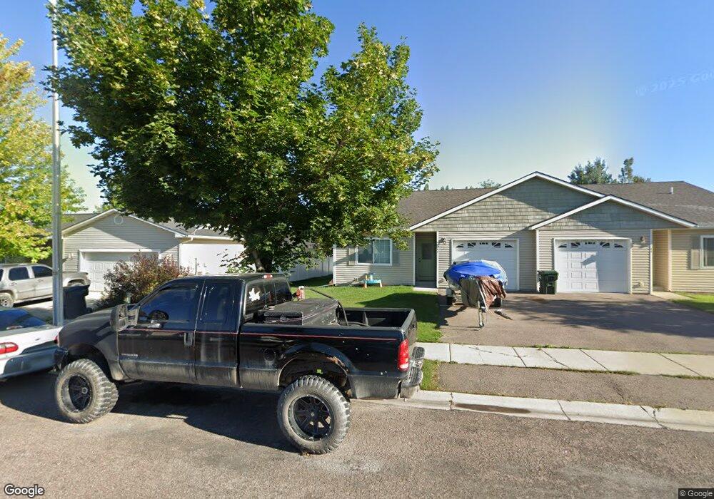
41 Vanderbilt Dr Kalispell, MT 59901
Estimated Value: $394,732 - $422,000
3
Beds
2
Baths
1,334
Sq Ft
$302/Sq Ft
Est. Value
About This Home
This home is located at 41 Vanderbilt Dr, Kalispell, MT 59901 and is currently estimated at $403,183, approximately $302 per square foot. 41 Vanderbilt Dr is a home located in Flathead County with nearby schools including Edgerton School, Kalispell Middle School, and Glacier High School.
Ownership History
Date
Name
Owned For
Owner Type
Purchase Details
Closed on
Feb 19, 2025
Sold by
Bowser Creek Estates Llc
Bought by
Bowser Residential Llc
Current Estimated Value
Purchase Details
Closed on
Jul 24, 2017
Sold by
Kish Barbara Ann and Barbara Ann Kish Living Trust
Bought by
Purdy Linda M
Home Financials for this Owner
Home Financials are based on the most recent Mortgage that was taken out on this home.
Original Mortgage
$140,000
Interest Rate
3.9%
Mortgage Type
Commercial
Create a Home Valuation Report for This Property
The Home Valuation Report is an in-depth analysis detailing your home's value as well as a comparison with similar homes in the area
Purchase History
| Date | Buyer | Sale Price | Title Company |
|---|---|---|---|
| Bowser Residential Llc | -- | None Listed On Document | |
| Purdy Linda M | -- | Insured Titles |
Source: Public Records
Mortgage History
| Date | Status | Borrower | Loan Amount |
|---|---|---|---|
| Previous Owner | Purdy Linda M | $140,000 |
Source: Public Records
Tax History
| Year | Tax Paid | Tax Assessment Tax Assessment Total Assessment is a certain percentage of the fair market value that is determined by local assessors to be the total taxable value of land and additions on the property. | Land | Improvement |
|---|---|---|---|---|
| 2025 | $1,882 | $391,600 | $0 | $0 |
| 2024 | $2,500 | $321,000 | $0 | $0 |
| 2023 | $2,706 | $321,000 | $0 | $0 |
| 2022 | $2,229 | $221,900 | $0 | $0 |
| 2021 | $2,513 | $221,900 | $0 | $0 |
| 2020 | $2,258 | $187,000 | $0 | $0 |
| 2019 | $2,263 | $187,000 | $0 | $0 |
| 2018 | $2,092 | $164,200 | $0 | $0 |
| 2017 | $1,721 | $164,200 | $0 | $0 |
| 2016 | $1,695 | $142,100 | $0 | $0 |
| 2015 | $1,695 | $142,100 | $0 | $0 |
| 2014 | $1,661 | $83,369 | $0 | $0 |
Source: Public Records
Map
Nearby Homes
- 38 Vanderbilt Dr
- 17 Empire Loop
- 63 Empire Loop
- 249 Three Mile Dr
- 90 Empire Loop
- 140 Barron Way
- 28 Vista Loop
- 210 Kara Dr
- 119 Barron Way
- 240 Kara Dr
- 224 Kara Dr
- 287 Kara Dr
- 174 Empire Loop
- 188 N Riding Rd
- 108 Hearst Dr
- 125 Sherry Ln
- 433 Needlegrass Ln
- 408 Needlegrass Ln
- 417 Needlegrass Ln
- 120 Garland St
- 43 Vanderbilt Dr
- 35 Vanderbilt Dr
- 36 Carnegie Dr
- 47 Vanderbilt Dr
- 38 Carnegie Dr
- 34 Carnegie Dr
- 31 Vanderbilt Dr
- 40 Carnegie Dr
- 49 Vanderbilt Dr
- 30 Carnegie Dr
- 34 Vanderbilt Dr
- 42 Carnegie Dr
- 42 Vanderbilt Dr
- 27 Vanderbilt Dr
- 53 Vanderbilt Dr
- 30 Vanderbilt Dr
- 30 Vanderbilt Dr
- 46 Vanderbilt Dr
- 26 Carnegie Dr
- 61 Empire Loop
Your Personal Tour Guide
Ask me questions while you tour the home.