41 Watcha Path Edgartown, MA 02539
Edgartown NeighborhoodEstimated Value: $4,337,531
Studio
--
Bath
--
Sq Ft
130,680
Sq Ft Lot
About This Home
This home is located at 41 Watcha Path, Edgartown, MA 02539 and is currently estimated at $4,337,531. 41 Watcha Path is a home located in Dukes County with nearby schools including Edgartown Elementary School and Martha's Vineyard Regional High School.
Ownership History
Date
Name
Owned For
Owner Type
Purchase Details
Closed on
Oct 16, 2018
Sold by
Cozy Hearth Community
Bought by
Bennett William H
Current Estimated Value
Purchase Details
Closed on
Jul 1, 2002
Sold by
Vark Holdings & Dev
Bought by
Cozy Hearth Comm Corp
Home Financials for this Owner
Home Financials are based on the most recent Mortgage that was taken out on this home.
Original Mortgage
$750,000
Interest Rate
6.92%
Mortgage Type
Commercial
Purchase Details
Closed on
Mar 26, 2002
Sold by
Estes Patricia Ann and Gallant Norma S
Bought by
Vark Holdings & Devel
Home Financials for this Owner
Home Financials are based on the most recent Mortgage that was taken out on this home.
Original Mortgage
$390,000
Interest Rate
6.91%
Mortgage Type
Commercial
Create a Home Valuation Report for This Property
The Home Valuation Report is an in-depth analysis detailing your home's value as well as a comparison with similar homes in the area
Home Values in the Area
Average Home Value in this Area
Purchase History
| Date | Buyer | Sale Price | Title Company |
|---|---|---|---|
| Bennett William H | -- | -- | |
| Bennett William H | -- | -- | |
| Cozy Hearth Comm Corp | $1,000,000 | -- | |
| Vark Holdings & Devel | $550,000 | -- |
Source: Public Records
Mortgage History
| Date | Status | Borrower | Loan Amount |
|---|---|---|---|
| Previous Owner | Vark Holdings & Devel | $680,000 | |
| Previous Owner | Vark Holdings & Devel | $750,000 | |
| Previous Owner | Vark Holdings & Devel | $390,000 |
Source: Public Records
Tax History
| Year | Tax Paid | Tax Assessment Tax Assessment Total Assessment is a certain percentage of the fair market value that is determined by local assessors to be the total taxable value of land and additions on the property. | Land | Improvement |
|---|---|---|---|---|
| 2025 | $962 | $363,200 | $363,200 | $0 |
| 2024 | $926 | $363,200 | $363,200 | $0 |
| 2023 | $1,120 | $444,600 | $444,600 | $0 |
| 2022 | $1,422 | $469,300 | $469,300 | $0 |
| 2021 | $1,401 | $427,100 | $427,100 | $0 |
| 2020 | $1,431 | $427,100 | $427,100 | $0 |
| 2019 | $1,566 | $404,600 | $404,600 | $0 |
| 2018 | $2,810 | $404,600 | $404,600 | $0 |
| 2017 | $2,499 | $704,000 | $449,600 | $254,400 |
| 2016 | $3,948 | $1,090,600 | $384,700 | $705,900 |
| 2015 | -- | $384,700 | $384,700 | $0 |
Source: Public Records
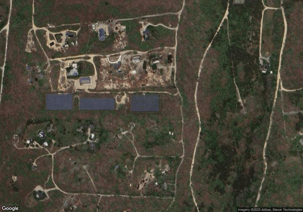
Map
Nearby Homes
- 25 Coffins Field Rd
- 25 Coffins Field Rd Unit 18
- 25 Vineyard Meadow Farms Rd
- 111 Charles Neck Way
- 2 Bold Meadow Rd
- 60 Saddle Club Rd
- 5 Candle Maker Cir
- 5 Candle Maker Cir Unit 1.331
- 36 Boylston Dr
- 36 Boylston Dr Unit 1.329
- 11 Boylston Dr Unit 1.314
- 11 Boylston Dr
- 3 Jacobs Neck Road (North Lot 1) Unit 2
- 25 Boylston Dr
- 52 Windsor Dr
- 32 Edgartown - West Tisbury Rd Unit 81
- 18 Windsor Dr
- 2 Old Farms Trail Unit 1
- 2 Old Farms Trail
- 501 W Tisbury Rd Unit 2.1
- 47 Watcha Path
- 35 Watcha Path
- 9 Watcha Ln
- 39 Watcha Path
- 57 Watcha Path
- 6 Watcha Ln
- 23 Jennie Ln
- 12 Oyster Watcha Rd Unit ED352
- 12 Oyster Watcha Rd Unit 1
- 33 Watcha Path
- 25 Watcha Path
- 9 Jennie Ln
- 7 Jennie Ln
- 5 Jennie Ln
- 3 Jennie Ln
- 1 Jennie Ln
- 2 Oyster Watcha Rd
- 10 Jennie Ln
- 8 Jennie Ln
- 6 Jennie Ln
Your Personal Tour Guide
Ask me questions while you tour the home.