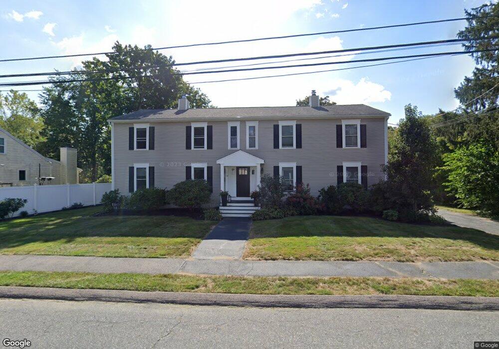
41 Water St Unit A (r/s) Natick, MA 01760
Estimated Value: $976,000 - $1,238,000
3
Beds
2
Baths
1,400
Sq Ft
$802/Sq Ft
Est. Value
About This Home
This home is located at 41 Water St Unit A (r/s), Natick, MA 01760 and is currently estimated at $1,123,066, approximately $802 per square foot. 41 Water St Unit A (r/s) is a home located in Middlesex County with nearby schools including Natick High School, Memorial Elementary School, and J F Kennedy Middle School.
Ownership History
Date
Name
Owned For
Owner Type
Purchase Details
Closed on
Feb 18, 2020
Sold by
Hill O Bryant
Bought by
Sheehan Jacqueline M and Sheehan Brandon J
Current Estimated Value
Home Financials for this Owner
Home Financials are based on the most recent Mortgage that was taken out on this home.
Original Mortgage
$400,000
Outstanding Balance
$354,172
Interest Rate
3.6%
Mortgage Type
New Conventional
Estimated Equity
$768,894
Purchase Details
Closed on
Mar 31, 2017
Sold by
Mcauliffe Moira and Mcauliffe Elinor M
Bought by
Doyle Robert L
Purchase Details
Closed on
May 5, 2016
Sold by
Hill Andrew W
Bought by
Hill Jacqueline M and Sheehan Brandon J
Home Financials for this Owner
Home Financials are based on the most recent Mortgage that was taken out on this home.
Original Mortgage
$312,500
Interest Rate
3.71%
Mortgage Type
New Conventional
Create a Home Valuation Report for This Property
The Home Valuation Report is an in-depth analysis detailing your home's value as well as a comparison with similar homes in the area
Home Values in the Area
Average Home Value in this Area
Purchase History
| Date | Buyer | Sale Price | Title Company |
|---|---|---|---|
| Sheehan Jacqueline M | $400,000 | None Available | |
| Doyle Robert L | -- | -- | |
| Hill Jacqueline M | $312,500 | -- |
Source: Public Records
Mortgage History
| Date | Status | Borrower | Loan Amount |
|---|---|---|---|
| Open | Sheehan Jacqueline M | $400,000 | |
| Previous Owner | Hill Jacqueline M | $312,500 |
Source: Public Records
Tax History Compared to Growth
Tax History
| Year | Tax Paid | Tax Assessment Tax Assessment Total Assessment is a certain percentage of the fair market value that is determined by local assessors to be the total taxable value of land and additions on the property. | Land | Improvement |
|---|---|---|---|---|
| 2025 | $11,228 | $938,800 | $472,700 | $466,100 |
| 2024 | $10,922 | $890,900 | $446,500 | $444,400 |
| 2023 | $10,455 | $827,100 | $418,200 | $408,900 |
| 2022 | $10,272 | $770,000 | $379,800 | $390,200 |
| 2021 | $9,828 | $722,100 | $358,900 | $363,200 |
| 2020 | $9,380 | $689,200 | $343,300 | $345,900 |
| 2019 | $8,760 | $689,200 | $343,300 | $345,900 |
| 2018 | $8,631 | $661,400 | $327,700 | $333,700 |
| 2017 | $8,427 | $624,700 | $297,200 | $327,500 |
| 2016 | $8,325 | $613,500 | $289,100 | $324,400 |
| 2015 | $7,595 | $549,600 | $289,100 | $260,500 |
Source: Public Records
Map
Nearby Homes
- 29 Water St
- 21 Eliot St
- 8 Warren Rd
- 12 Winding River Cir
- 182 Winding River Rd
- 91 Glen St
- 18 Phillips Pond Rd
- 104 Glen St
- 39 Davis Brook Dr
- 55 Ridge Hill Farm Rd
- 60 Locust Ln
- 192 Pond Rd
- 94 Woodland St
- 10 Sundance Way
- 15 Penobscot Rd
- 18 University Dr
- 200 Pond Rd
- 191 E Central St
- 21 Harvest Moon Dr
- 78 Pheasant Landing Rd