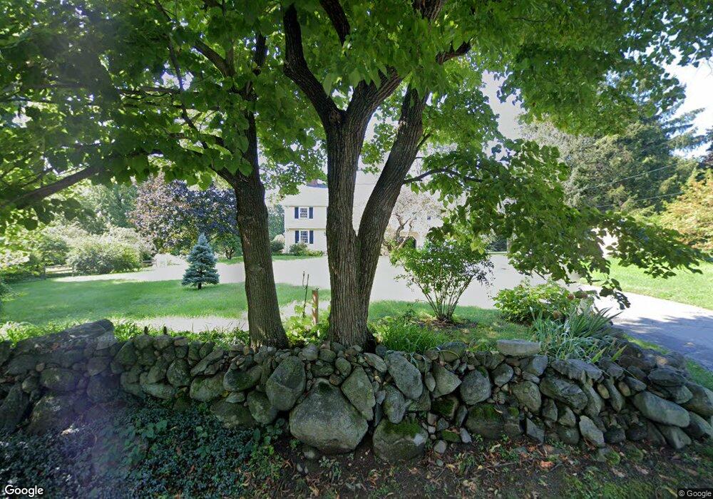
41 Wenham Rd Topsfield, MA 01983
Estimated Value: $1,090,000 - $1,261,000
5
Beds
3
Baths
2,761
Sq Ft
$422/Sq Ft
Est. Value
About This Home
This home is located at 41 Wenham Rd, Topsfield, MA 01983 and is currently estimated at $1,166,447, approximately $422 per square foot. 41 Wenham Rd is a home located in Essex County with nearby schools including Steward Elementary School, Proctor Elementary School, and Masconomet Regional Middle School.
Ownership History
Date
Name
Owned For
Owner Type
Purchase Details
Closed on
Mar 29, 2019
Sold by
Lachmayr Ft and Lachmayr
Bought by
Lachmayr Karen L
Current Estimated Value
Home Financials for this Owner
Home Financials are based on the most recent Mortgage that was taken out on this home.
Original Mortgage
$513,000
Outstanding Balance
$449,170
Interest Rate
4.3%
Mortgage Type
New Conventional
Estimated Equity
$717,277
Purchase Details
Closed on
Oct 19, 2009
Sold by
Lachmayr Horst and Lachmayr Hella M
Bought by
Lachmayr Ft
Create a Home Valuation Report for This Property
The Home Valuation Report is an in-depth analysis detailing your home's value as well as a comparison with similar homes in the area
Home Values in the Area
Average Home Value in this Area
Purchase History
| Date | Buyer | Sale Price | Title Company |
|---|---|---|---|
| Lachmayr Karen L | $641,250 | -- | |
| Lachmayr Karen L | $641,250 | -- | |
| Lachmayr Ft | -- | -- | |
| Lachmayr Ft | -- | -- |
Source: Public Records
Mortgage History
| Date | Status | Borrower | Loan Amount |
|---|---|---|---|
| Open | Lachmayr Karen L | $513,000 | |
| Closed | Lachmayr Karen L | $513,000 |
Source: Public Records
Tax History Compared to Growth
Tax History
| Year | Tax Paid | Tax Assessment Tax Assessment Total Assessment is a certain percentage of the fair market value that is determined by local assessors to be the total taxable value of land and additions on the property. | Land | Improvement |
|---|---|---|---|---|
| 2025 | $15,164 | $1,011,600 | $417,300 | $594,300 |
| 2024 | $14,540 | $989,800 | $395,500 | $594,300 |
| 2023 | $12,812 | $842,900 | $373,100 | $469,800 |
| 2022 | $12,448 | $747,600 | $373,100 | $374,500 |
| 2021 | $12,479 | $696,400 | $333,900 | $362,500 |
| 2020 | $12,131 | $696,400 | $333,900 | $362,500 |
| 2019 | $11,626 | $683,900 | $333,900 | $350,000 |
| 2018 | $9,942 | $572,700 | $333,400 | $239,300 |
| 2017 | $9,032 | $533,500 | $294,200 | $239,300 |
| 2016 | $8,642 | $523,100 | $281,100 | $242,000 |
| 2015 | $8,288 | $503,800 | $278,300 | $225,500 |
Source: Public Records
Map
Nearby Homes
- 95 Salem Rd
- 19 Bridle Spur Ln
- 219 Topsfield Rd
- 2 Woodbrier Rd
- 14 Alderbrook Dr
- 117 Perkins Row
- 47 Maple St
- 10 Maple St
- 33 Reservoir Dr
- 1 Morgan Dr
- 281 Rowley Bridge Rd Unit 7
- 7 Wildwood Rd
- 4 Chatham Ln
- 15 Middlewood Dr Unit 15
- 78 North St
- 41 Mohawk St
- 58 Washington St
- 26 Mohawk St
- 40 Village Rd Unit 1508
- 40 Village Rd Unit 1108