41 Wilderness Way Bristol, CT 06010
North Bristol NeighborhoodEstimated Value: $554,000 - $629,000
3
Beds
3
Baths
2,322
Sq Ft
$254/Sq Ft
Est. Value
About This Home
This home is located at 41 Wilderness Way, Bristol, CT 06010 and is currently estimated at $590,437, approximately $254 per square foot. 41 Wilderness Way is a home located in Hartford County with nearby schools including Edgewood School, Chippens Hill Middle School, and Bristol Eastern High School.
Ownership History
Date
Name
Owned For
Owner Type
Purchase Details
Closed on
Oct 26, 2006
Sold by
Madore Charles P and Madore Pauline C
Bought by
Viens Keith and Viens Maura
Current Estimated Value
Create a Home Valuation Report for This Property
The Home Valuation Report is an in-depth analysis detailing your home's value as well as a comparison with similar homes in the area
Home Values in the Area
Average Home Value in this Area
Purchase History
| Date | Buyer | Sale Price | Title Company |
|---|---|---|---|
| Viens Keith | $405,000 | -- |
Source: Public Records
Mortgage History
| Date | Status | Borrower | Loan Amount |
|---|---|---|---|
| Open | Viens Keith | $309,525 | |
| Closed | Viens Keith | $309,525 |
Source: Public Records
Tax History Compared to Growth
Tax History
| Year | Tax Paid | Tax Assessment Tax Assessment Total Assessment is a certain percentage of the fair market value that is determined by local assessors to be the total taxable value of land and additions on the property. | Land | Improvement |
|---|---|---|---|---|
| 2025 | $10,017 | $296,800 | $56,070 | $240,730 |
| 2024 | $9,453 | $296,800 | $56,070 | $240,730 |
| 2023 | $9,008 | $296,800 | $56,070 | $240,730 |
| 2022 | $8,298 | $216,370 | $43,260 | $173,110 |
| 2021 | $8,298 | $216,370 | $43,260 | $173,110 |
| 2020 | $8,298 | $216,370 | $43,260 | $173,110 |
| 2019 | $8,233 | $216,370 | $43,260 | $173,110 |
| 2018 | $7,980 | $216,370 | $43,260 | $173,110 |
| 2017 | $7,574 | $210,210 | $61,740 | $148,470 |
| 2016 | $7,574 | $210,210 | $61,740 | $148,470 |
| 2015 | $7,275 | $210,210 | $61,740 | $148,470 |
| 2014 | $7,275 | $210,210 | $61,740 | $148,470 |
Source: Public Records
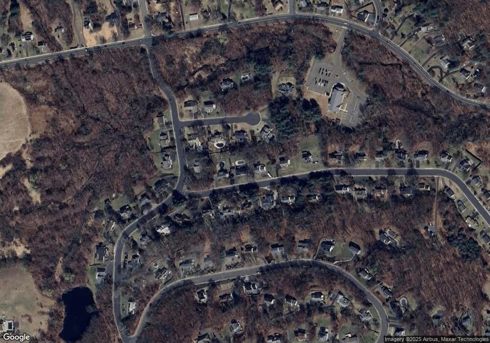
Map
Nearby Homes
- 118 Ashley Rd
- 120 Round Hill Rd
- 164 Fox Den Rd
- 286 Fern Hill Rd
- 39 Pine Meadow Dr
- 51 Pine Meadow Dr
- 15 Jan Rd
- 75 Sturbridge Ct
- 6 El Toro Dr
- 48 Boivin St
- 36 Henderson St
- 114 El Toro Dr
- 123 El Toro Dr
- 0 Hart St Unit 170255530
- 51 Sharon St
- 0 Fairlawn St
- 240 Burlington Ave Unit 27
- 276 Hart St
- 934 Jerome Ave
- 62 (Lot 13-1) James P Casey Rd
- 27 Wilderness Way
- 53 Wilderness Way
- 66 Wilderness Way
- 40 Wilderness Way
- 26 Wilderness Way
- 52 Wilderness Way
- 34 Woodside Way
- 20 Woodside Way
- 65 Wilderness Way
- 79 Nelson Farm Rd
- 14 Wilderness Way
- 42 Woodside Way
- 6 Woodside Way
- 80 Wilderness Way
- 81 Wilderness Way
- 29 Woodside Way
- 70 Nelson Farm Rd
- 55 Nelson Farm Rd
- 96 Wilderness Way
- 99 Nelson Farm Rd