41 Woodrun Dr Middleton, TN 38052
Estimated Value: $39,504 - $136,000
1
Bed
1
Bath
--
Sq Ft
7,971
Sq Ft Lot
About This Home
This home is located at 41 Woodrun Dr, Middleton, TN 38052 and is currently estimated at $87,752. 41 Woodrun Dr is a home located in Hardeman County with nearby schools including Middleton Elementary School and Middleton High School.
Ownership History
Date
Name
Owned For
Owner Type
Purchase Details
Closed on
Aug 2, 2024
Sold by
Negri James and Negri Wendy
Bought by
Martin Kenneth and Martin Diana
Current Estimated Value
Purchase Details
Closed on
Sep 28, 2021
Sold by
Johnson Stephen and Johnson Angelia
Bought by
Negri James and Negri Wendy
Purchase Details
Closed on
Jul 17, 2020
Sold by
Hays Cristina L
Bought by
Johnson Stephen and Johnson Angelia
Purchase Details
Closed on
Jul 13, 2017
Sold by
Pugh John Dwight
Bought by
Hays Cristina L
Purchase Details
Closed on
Feb 9, 2013
Sold by
Thompson Charles E
Bought by
Pugh John Dwight and Pugh Virginia
Purchase Details
Closed on
Feb 20, 2008
Sold by
Craig Jane C
Bought by
Thompson Charles E
Purchase Details
Closed on
Sep 22, 1995
Bought by
Craig Jane C
Purchase Details
Closed on
Jun 29, 1978
Bought by
Davis George and Davis Billie
Purchase Details
Closed on
Aug 12, 1973
Create a Home Valuation Report for This Property
The Home Valuation Report is an in-depth analysis detailing your home's value as well as a comparison with similar homes in the area
Purchase History
| Date | Buyer | Sale Price | Title Company |
|---|---|---|---|
| Martin Kenneth | $26,000 | None Listed On Document | |
| Negri James | $22,000 | None Listed On Document | |
| Johnson Stephen | $8,000 | None Available | |
| Hays Cristina L | $6,900 | -- | |
| Pugh John Dwight | $8,500 | -- | |
| Thompson Charles E | $4,100 | -- | |
| Craig Jane C | $4,100 | -- | |
| Davis George | -- | -- | |
| Davis George L | $2,800 | None Listed On Document | |
| Davis George | $2,800 | None Listed On Document | |
| Davis George L | $2,800 | None Listed On Document | |
| -- | -- | -- | |
| Kidd Vernon | $1,967 | None Listed On Document | |
| Kidd Vernon | $1,967 | None Listed On Document |
Source: Public Records
Tax History
| Year | Tax Paid | Tax Assessment Tax Assessment Total Assessment is a certain percentage of the fair market value that is determined by local assessors to be the total taxable value of land and additions on the property. | Land | Improvement |
|---|---|---|---|---|
| 2025 | $25 | $1,375 | $600 | $775 |
| 2024 | $25 | $1,375 | $600 | $775 |
| 2023 | $133 | $1,375 | $600 | $775 |
| 2022 | $143 | $1,375 | $550 | $825 |
| 2021 | $143 | $1,375 | $550 | $825 |
| 2020 | $143 | $1,375 | $550 | $825 |
| 2019 | $143 | $1,375 | $550 | $825 |
| 2018 | $143 | $1,375 | $550 | $825 |
| 2017 | $150 | $1,650 | $750 | $900 |
| 2016 | $29 | $1,125 | $750 | $375 |
| 2015 | $29 | $1,125 | $750 | $375 |
| 2014 | -- | $1,125 | $750 | $375 |
Source: Public Records
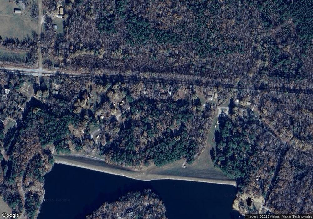
Map
Nearby Homes
- 54 Campfire Cove Unit C54
- 151 Woodrun Cir
- 135 Woodrun Dr
- 65 Woodrun Dr Unit WR65
- 0 Pheasant Dr
- 66 Woodrun Dr
- 182 Fawn Dr Unit WR182
- 205 -207 Huckleberry Dr
- 12990 Highway 57
- 154 Oak Grove Rd
- 160 Rd
- 11585 Tennessee 57
- 415 Burgess Loop
- 1 Ferrell Rd Unit Tract 2
- 000 Burgess Loop
- 160 Bishop Rd
- 653 Ironwood Dr
- 17 Candlewood Dr
- 30 Lakewood Dr
- LOT 17 Candlewood Dr
- 40 Woodrun Cir
- 39 Woodrun Cir
- 102 Woodrun Cir
- 43 Woodrun Dr
- 103 Woodrun Cir
- 38 Woodrun Cir
- 104 Woodrun Cir
- 36 Woodrun Cir
- 96 Woodrun Cir
- 35 Woodrun Cir
- 52 Woodrun Dr
- 53 Campfire Cove
- 81 Campfire Cove
- 26 W Sycamore Cove
- 25 W Sycamore Cove
- 27 W Sycamore Cove
- 32 Woodrun Cir
- 24 W Sycamore Cove
- 28 W Sycamore Cove
- 23 W Sycamore Cove
Your Personal Tour Guide
Ask me questions while you tour the home.