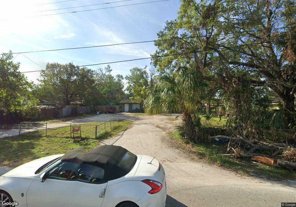
410 61st Ave E Bradenton, FL 34203
Oneco NeighborhoodEstimated Value: $302,000 - $383,000
4
Beds
7
Baths
1,760
Sq Ft
$196/Sq Ft
Est. Value
About This Home
This home is located at 410 61st Ave E, Bradenton, FL 34203 and is currently estimated at $345,386, approximately $196 per square foot. 410 61st Ave E is a home located in Manatee County with nearby schools including Blanche H. Daughtrey Elementary School, W. D. Sugg Middle School, and Bayshore High School.
Ownership History
Date
Name
Owned For
Owner Type
Purchase Details
Closed on
Jul 4, 2017
Sold by
Corona Gilberto and Corona Graciela
Bought by
La Loma Partnership and 410 61St Avenue East Land Trust
Current Estimated Value
Purchase Details
Closed on
Jul 1, 2017
Bought by
La Loma Partnership
Purchase Details
Closed on
Jun 20, 2016
Sold by
Sixty One 410 Llc
Bought by
Corona Gilberto and Corona Graciela
Purchase Details
Closed on
Oct 6, 2015
Sold by
Watts Vivian D and Watts Donna E
Bought by
Sixty One 410 Llc
Purchase Details
Closed on
Mar 6, 2015
Sold by
Watts Vivian D and Watts Donna E
Bought by
Watts Vivian D and Watts Donna E
Purchase Details
Closed on
Mar 5, 2001
Sold by
Russ Marvin K and Russ Roswitha R
Bought by
Watts Vivian D and Watts Donna E
Home Financials for this Owner
Home Financials are based on the most recent Mortgage that was taken out on this home.
Original Mortgage
$56,000
Interest Rate
7.06%
Create a Home Valuation Report for This Property
The Home Valuation Report is an in-depth analysis detailing your home's value as well as a comparison with similar homes in the area
Home Values in the Area
Average Home Value in this Area
Purchase History
| Date | Buyer | Sale Price | Title Company |
|---|---|---|---|
| La Loma Partnership | -- | None Available | |
| La Loma Partnership | $100 | -- | |
| Corona Gilberto | $106,000 | None Available | |
| Sixty One 410 Llc | $78,500 | Attorney | |
| Watts Vivian D | -- | None Available | |
| Watts Vivian D | $70,000 | -- |
Source: Public Records
Mortgage History
| Date | Status | Borrower | Loan Amount |
|---|---|---|---|
| Previous Owner | Watts Vivian D | $56,000 |
Source: Public Records
Tax History
| Year | Tax Paid | Tax Assessment Tax Assessment Total Assessment is a certain percentage of the fair market value that is determined by local assessors to be the total taxable value of land and additions on the property. | Land | Improvement |
|---|---|---|---|---|
| 2025 | $3,890 | $223,647 | -- | -- |
| 2023 | $3,646 | $252,936 | $64,388 | $188,548 |
| 2022 | $3,109 | $192,231 | $37,500 | $154,731 |
| 2021 | $2,664 | $152,754 | $30,000 | $122,754 |
| 2020 | $2,592 | $141,282 | $30,000 | $111,282 |
| 2019 | $2,553 | $138,823 | $37,500 | $101,323 |
| 2018 | $2,356 | $125,626 | $30,000 | $95,626 |
| 2017 | $1,611 | $84,000 | $0 | $0 |
| 2016 | $1,210 | $57,400 | $0 | $0 |
Source: Public Records
Map
Nearby Homes
- 331 Avocado St Unit 73
- 300 Apricot St
- 267 Coconut St
- 316 Avacado St
- 270 Coconut St
- 220 Mango St Unit 227
- 188 Guava Cir Unit 194
- 304 Apricot St
- 603 61st Avenue Terrace E
- 256 Coconut St
- 343 Avocado St Unit 85
- 311 Apricot St
- 280 Coconut St
- 3 Date Ave
- 215 63rd Dr E
- 9 Cherry Ave
- 20 Peach Ave Unit 288
- 312 60th Avenue Dr W
- 20 Apple Ave Unit 16
- 5723 5th St E
Your Personal Tour Guide
Ask me questions while you tour the home.