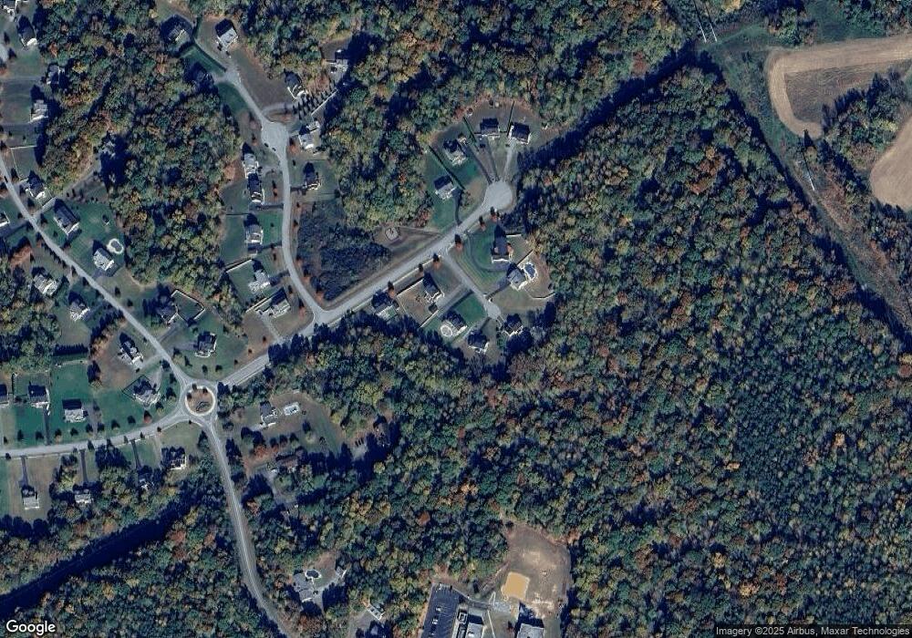
410 Avalon Ct Prince Frederick, MD 20678
Estimated Value: $648,000 - $697,158
4
Beds
3
Baths
2,480
Sq Ft
$270/Sq Ft
Est. Value
About This Home
This home is located at 410 Avalon Ct, Prince Frederick, MD 20678 and is currently estimated at $670,540, approximately $270 per square foot. 410 Avalon Ct is a home located in Calvert County with nearby schools including Barstow Elementary School, Calvert Middle School, and Calvert High School.
Ownership History
Date
Name
Owned For
Owner Type
Purchase Details
Closed on
May 16, 2018
Sold by
Williams Road Development Llc
Bought by
Willis Gary D and Willis Nicole A
Current Estimated Value
Home Financials for this Owner
Home Financials are based on the most recent Mortgage that was taken out on this home.
Original Mortgage
$489,090
Outstanding Balance
$424,462
Interest Rate
4.75%
Mortgage Type
FHA
Estimated Equity
$246,078
Create a Home Valuation Report for This Property
The Home Valuation Report is an in-depth analysis detailing your home's value as well as a comparison with similar homes in the area
Home Values in the Area
Average Home Value in this Area
Purchase History
| Date | Buyer | Sale Price | Title Company |
|---|---|---|---|
| Willis Gary D | $498,113 | Brennan Title Co |
Source: Public Records
Mortgage History
| Date | Status | Borrower | Loan Amount |
|---|---|---|---|
| Open | Willis Gary D | $489,090 |
Source: Public Records
Tax History Compared to Growth
Tax History
| Year | Tax Paid | Tax Assessment Tax Assessment Total Assessment is a certain percentage of the fair market value that is determined by local assessors to be the total taxable value of land and additions on the property. | Land | Improvement |
|---|---|---|---|---|
| 2025 | $6,655 | $596,167 | $0 | $0 |
| 2024 | $6,487 | $581,100 | $156,200 | $424,900 |
| 2023 | $5,951 | $552,133 | $0 | $0 |
| 2022 | $5,647 | $523,167 | $0 | $0 |
| 2021 | $11,293 | $494,200 | $156,200 | $338,000 |
| 2020 | $5,198 | $478,267 | $0 | $0 |
| 2019 | $4,850 | $462,333 | $0 | $0 |
| 2018 | $1,428 | $136,100 | $136,100 | $0 |
| 2017 | $965 | $113,400 | $0 | $0 |
| 2016 | -- | $90,700 | $0 | $0 |
| 2015 | $684 | $68,000 | $0 | $0 |
| 2014 | $684 | $68,000 | $0 | $0 |
Source: Public Records
Map
Nearby Homes
- 145 Stafford Rd
- 285 Stafford Rd Stafford Rd
- 362 Cambridge Place
- 379 Cambridge Place
- The Benedict A Plan at Patuxent Commons
- The Benedict B2 Plan at Patuxent Commons
- The Benedict C Plan at Patuxent Commons
- 185 Radio Dr
- 84 Potomac Ct
- 2590 Hallowing Point Rd
- 85 Mason Rd
- 49 Thoroughbred Dr
- 210 Buckler Rd
- 125 Polo Way
- 240 Mason Rd
- 0 Armory Rd
- 365 Equestrian Way
- 605 Barstow Rd
- 380 Mason Rd
- 1080 Westfield Dr
- 400 Avalon Ct
- 420 Avalon Ct
- 1984 Baythorne Rd
- 1988 Baythorne Rd
- 425 Avalon Ct
- 1980 Baythorne Rd
- 415 Avalon Ct
- 335 Williams Rd
- 1983 Baythorne Rd
- 1987 Baythorne Rd
- 1979 Baythorne Rd
- 445 Bradbury Ln
- 1991 Baythorne Rd
- 1994 Baythorne Rd
- 1976 Baythorne Rd
- 1975 Baythorne Rd
- 355 Williams Rd
- 455 Bradbury Ln
- 345 J W Williams Rd
- 440 Bradbury Ln
