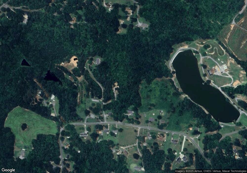
410 Bob Scoggins Trail Kings Mountain, NC 28086
Estimated Value: $216,000 - $308,000
--
Bed
--
Bath
1,200
Sq Ft
$222/Sq Ft
Est. Value
About This Home
This home is located at 410 Bob Scoggins Trail, Kings Mountain, NC 28086 and is currently estimated at $266,757, approximately $222 per square foot. 410 Bob Scoggins Trail is a home with nearby schools including Grover Elementary School, Kings Mountain Middle, and Kings Mountain Intermediate School.
Ownership History
Date
Name
Owned For
Owner Type
Purchase Details
Closed on
Nov 17, 2022
Sold by
Scoggins Philip Andrew
Bought by
Latham Katelyn Ann Renee
Current Estimated Value
Home Financials for this Owner
Home Financials are based on the most recent Mortgage that was taken out on this home.
Original Mortgage
$116,000
Outstanding Balance
$112,396
Interest Rate
6.94%
Mortgage Type
New Conventional
Estimated Equity
$154,361
Purchase Details
Closed on
Oct 2, 2013
Sold by
Hoyle Mark S
Bought by
Scoggins Philip Andrew
Purchase Details
Closed on
Jun 24, 2013
Sold by
Henry Hoyle Nathan and Swofford John K
Bought by
Hoyle Mark S
Purchase Details
Closed on
Apr 1, 2013
Sold by
Hoyle Mark S and Walker Tammy Annette
Bought by
Hoyle Mark S
Create a Home Valuation Report for This Property
The Home Valuation Report is an in-depth analysis detailing your home's value as well as a comparison with similar homes in the area
Home Values in the Area
Average Home Value in this Area
Purchase History
| Date | Buyer | Sale Price | Title Company |
|---|---|---|---|
| Latham Katelyn Ann Renee | $250,000 | -- | |
| Scoggins Philip Andrew | $25,000 | None Available | |
| Hoyle Mark S | -- | None Available | |
| Hoyle Mark S | -- | None Available |
Source: Public Records
Mortgage History
| Date | Status | Borrower | Loan Amount |
|---|---|---|---|
| Open | Latham Katelyn Ann Renee | $116,000 |
Source: Public Records
Tax History Compared to Growth
Tax History
| Year | Tax Paid | Tax Assessment Tax Assessment Total Assessment is a certain percentage of the fair market value that is determined by local assessors to be the total taxable value of land and additions on the property. | Land | Improvement |
|---|---|---|---|---|
| 2025 | $1,421 | $223,720 | $23,240 | $200,480 |
| 2024 | $1,032 | $119,659 | $16,878 | $102,781 |
| 2023 | $1,026 | $119,659 | $16,878 | $102,781 |
| 2022 | $134 | $16,878 | $16,878 | $0 |
| 2021 | $134 | $16,878 | $16,878 | $0 |
| 2020 | $218 | $26,333 | $26,333 | $0 |
| 2019 | $218 | $26,333 | $26,333 | $0 |
| 2018 | $218 | $26,333 | $26,333 | $0 |
| 2017 | $217 | $26,333 | $26,333 | $0 |
| 2016 | $208 | $26,333 | $26,333 | $0 |
| 2015 | $198 | $25,079 | $25,079 | $0 |
| 2014 | $198 | $25,079 | $25,079 | $0 |
Source: Public Records
Map
Nearby Homes
- 2058 Bethlehem Rd
- 100 W Highland Terrace
- 104 W Highland Terrace
- 1141 Mountain Brook Dr
- 226 Farris Rd
- 235 Stewart Rd Unit 2
- 120 Wiggins Ln
- 450 Dixon School Rd
- 253 Highway 161 None N
- 164 Linderman Lake Ln
- 130 Benton Rd
- 107 Arrowood Dr
- 5264 Battleground Rd
- 531 Highway 161 N
- 116 Montview Dr
- 125 Galilee Church Rd
- 209 Fairdale St
- 5147 Kings Pinnacle Dr
- 5172 Kings Pinnacle Dr
- 5143 Kings Pinnacle Dr
- 2012 Bethlehem Rd
- 2024 Bethlehem Rd
- 105 Van Dyke Rd
- 111 Kings Crest Ct
- 107 Kings Crest Ct
- 119 Kings Crest Ct
- 102 Smarr Acres
- 2036 Bethlehem Rd
- 131 Kings Crest Ct
- 114 Kings Crest Ct
- 2040 Bethlehem Rd
- 128 Kings Crest Ct
- 701 Smarr Estates Dr
- 137 Kings Crest Ct
- 137 Kings Crest Ct Unit 63
- 108 Smarr Acres Unit 1
- 100 Van Dyke Rd
- 136 Kings Crest Ct
- 145 Kings Crest Ct
- 145 Kings Crest Ct Unit 64
