410 Chesapeake Ave Stevensville, MD 21666
Estimated Value: $497,877 - $634,000
--
Bed
2
Baths
1,404
Sq Ft
$399/Sq Ft
Est. Value
About This Home
This home is located at 410 Chesapeake Ave, Stevensville, MD 21666 and is currently estimated at $559,719, approximately $398 per square foot. 410 Chesapeake Ave is a home located in Queen Anne's County with nearby schools including Matapeake Elementary School, Matapeake Middle School, and Kent Island High School.
Ownership History
Date
Name
Owned For
Owner Type
Purchase Details
Closed on
Aug 18, 2023
Sold by
Brouse Jeffrey and Keller June
Bought by
Brouse Jeffrey and Brouse June
Current Estimated Value
Purchase Details
Closed on
Nov 18, 1985
Sold by
Quinn Homes, Inc
Bought by
Brouse Jeffrey and June Keller
Home Financials for this Owner
Home Financials are based on the most recent Mortgage that was taken out on this home.
Original Mortgage
$59,100
Interest Rate
11.79%
Create a Home Valuation Report for This Property
The Home Valuation Report is an in-depth analysis detailing your home's value as well as a comparison with similar homes in the area
Home Values in the Area
Average Home Value in this Area
Purchase History
| Date | Buyer | Sale Price | Title Company |
|---|---|---|---|
| Brouse Jeffrey | -- | Brilliant Title | |
| Brouse Jeffrey | $73,900 | -- |
Source: Public Records
Mortgage History
| Date | Status | Borrower | Loan Amount |
|---|---|---|---|
| Previous Owner | Brouse Jeffrey | $59,100 |
Source: Public Records
Tax History Compared to Growth
Tax History
| Year | Tax Paid | Tax Assessment Tax Assessment Total Assessment is a certain percentage of the fair market value that is determined by local assessors to be the total taxable value of land and additions on the property. | Land | Improvement |
|---|---|---|---|---|
| 2025 | $3,916 | $437,233 | $0 | $0 |
| 2024 | $3,717 | $402,567 | $0 | $0 |
| 2023 | $3,466 | $367,900 | $151,500 | $216,400 |
| 2022 | $1,722 | $359,333 | $0 | $0 |
| 2021 | $6,848 | $350,767 | $0 | $0 |
| 2020 | $3,342 | $342,200 | $147,600 | $194,600 |
| 2019 | $3,226 | $330,067 | $0 | $0 |
| 2018 | $3,109 | $317,933 | $0 | $0 |
| 2017 | $2,993 | $305,800 | $0 | $0 |
| 2016 | -- | $305,800 | $0 | $0 |
| 2015 | $1,382 | $305,800 | $0 | $0 |
| 2014 | $1,382 | $336,400 | $0 | $0 |
Source: Public Records
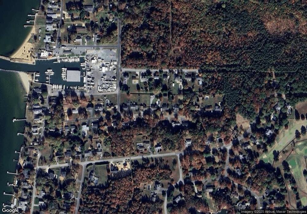
Map
Nearby Homes
- 303 Queens Colony High Rd
- 114 Queens Colony High Rd
- 312 Queens Colony High Rd
- 511 Chesapeake Ave
- 0 Allen Ave
- 0 Reynolds Ave
- 206 Columbia Ln
- 410 5 Farms Dr
- 227 Queen Anne Club Dr
- 303 Queen Anne Club Dr
- 412 Five Farms Dr
- 312 Columbia Ln
- 116 Mallard Dr
- 122 Mallard Dr
- Lot 7 Maple Rd
- 103 Chesapeake Estates Dr
- 0 Chesapeake Estates Dr
- 101 Oak St
- 321 Oregon Rd
- 122 S Carolina Rd
- 400 Chesapeake Ave
- 412 Chesapeake Ave
- 416 Chesapeake Ave
- 409 Chesapeake Ave
- 413 Chesapeake Ave
- 308 Chesapeake Ave
- 405 Annette Ave
- 405 Chesapeake Ave
- 401 Annette Ave
- 411 Annette Ave
- Lot 31-36 Chesapeake Ave
- Lot 33/34 Chesapeake Ave
- Lot 31/32 Chesapeake Ave
- LOT 35/36 Chesapeake Ave
- LOT #35 Chesapeake Ave
- 415 Chesapeake Ave
- 401 Chesapeake Ave
- 418 Chesapeake Ave
- 413 Annette Ave
- 317 Annette Ave