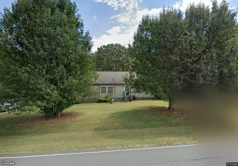
410 Daniels Rd Lincolnton, NC 28092
Estimated Value: $223,000 - $316,000
3
Beds
2
Baths
1,568
Sq Ft
$177/Sq Ft
Est. Value
About This Home
This home is located at 410 Daniels Rd, Lincolnton, NC 28092 and is currently estimated at $276,840, approximately $176 per square foot. 410 Daniels Rd is a home located in Lincoln County with nearby schools including Norris S. Childers Elementary School, West Lincoln Middle, and West Lincoln High School.
Ownership History
Date
Name
Owned For
Owner Type
Purchase Details
Closed on
Jul 5, 2006
Sold by
Gates Roger G
Bought by
Haynes Rodney Jay and Haynes Helen Diane
Current Estimated Value
Purchase Details
Closed on
Jan 8, 2003
Bought by
Gates Rogert G
Purchase Details
Closed on
Nov 21, 2001
Bought by
Bank Of New York As Trustee Cwabs Inc
Create a Home Valuation Report for This Property
The Home Valuation Report is an in-depth analysis detailing your home's value as well as a comparison with similar homes in the area
Home Values in the Area
Average Home Value in this Area
Purchase History
| Date | Buyer | Sale Price | Title Company |
|---|---|---|---|
| Haynes Rodney Jay | $110,000 | None Available | |
| Gates Rogert G | $60,000 | -- | |
| Bank Of New York As Trustee Cwabs Inc | $91,000 | -- |
Source: Public Records
Tax History Compared to Growth
Tax History
| Year | Tax Paid | Tax Assessment Tax Assessment Total Assessment is a certain percentage of the fair market value that is determined by local assessors to be the total taxable value of land and additions on the property. | Land | Improvement |
|---|---|---|---|---|
| 2025 | $1,419 | $201,563 | $26,057 | $175,506 |
| 2024 | $1,399 | $201,563 | $26,057 | $175,506 |
| 2023 | $1,394 | $201,563 | $26,057 | $175,506 |
| 2022 | $1,004 | $117,814 | $21,617 | $96,197 |
| 2021 | $1,004 | $117,814 | $21,617 | $96,197 |
| 2020 | $865 | $117,814 | $21,617 | $96,197 |
| 2019 | $865 | $117,814 | $21,617 | $96,197 |
| 2018 | $828 | $99,151 | $18,694 | $80,457 |
| 2017 | $727 | $99,151 | $18,694 | $80,457 |
| 2016 | $727 | $99,151 | $18,694 | $80,457 |
| 2015 | $797 | $99,151 | $18,694 | $80,457 |
| 2014 | $876 | $112,784 | $19,893 | $92,891 |
Source: Public Records
Map
Nearby Homes
- 2508 Rock Dam Rd
- 3300 Paul Heavner Ln
- 142 Alf Hoover Rd
- 2947 Heavners Farm Ct
- 146 Gallup Ln
- 1259 Haywood Ct
- 00 Pleasant Grove Church Rd
- 1865 Rockdam Creek Ct
- 938 Lyndsey Brook Ct
- 1000 Creekside Dr
- 2383 N Carolina 182
- 1084 Lyndsey Brook Ct
- 1074 Lyndsey Brook Ct
- 963 Sunbeam Dr
- 3817 Spike Ln
- 00 George Brown Rd Unit 10
- 00 George Brown Rd Unit 9
- 00 George Brown Rd Unit 8
- 00 George Brown Rd Unit 7
- 00 George Brown Rd Unit 6
- 409 Daniels Rd
- Lot #2 Paul Elmore Dr
- Lot#2 Paul Elmore Rd
- Lot #1 Paul Elmore Dr
- Lot#1 Paul Elmore Rd
- 2860 Paul Elmore Rd
- 2870 Paul Elmore Rd
- 2892 Paul Elmore Rd
- 130 Key Farmstead Ln
- LOT115 Lauren Ln
- 002 Paul Elmore Rd
- 001 Paul Elmore Rd
- 01 Paul Elmore Rd
- 02 Paul Elmore Rd
- 000 Paul Elmore Rd
- 2 Paul Elmore Rd
- 1 Paul Elmore Rd
- 2970 Paul Elmore Rd
- Lot 34 Heather Ridge Dr
- Lot 40 Heather Ridge Dr