410 Dusty Rd McLoud, OK 74851
Estimated Value: $184,029 - $264,000
3
Beds
1
Bath
1,400
Sq Ft
$165/Sq Ft
Est. Value
About This Home
This home is located at 410 Dusty Rd, McLoud, OK 74851 and is currently estimated at $230,507, approximately $164 per square foot. 410 Dusty Rd is a home located in Pottawatomie County with nearby schools including McLoud Intermediate School, McLoud Elementary School, and McLoud Junior High School.
Ownership History
Date
Name
Owned For
Owner Type
Purchase Details
Closed on
Jul 27, 2006
Sold by
Oroark Timothy L and Williams Oroark Rhonda
Bought by
Casey Denis H and Casey Carol
Current Estimated Value
Home Financials for this Owner
Home Financials are based on the most recent Mortgage that was taken out on this home.
Original Mortgage
$136,754
Outstanding Balance
$82,194
Interest Rate
6.78%
Mortgage Type
FHA
Estimated Equity
$148,313
Create a Home Valuation Report for This Property
The Home Valuation Report is an in-depth analysis detailing your home's value as well as a comparison with similar homes in the area
Home Values in the Area
Average Home Value in this Area
Purchase History
| Date | Buyer | Sale Price | Title Company |
|---|---|---|---|
| Casey Denis H | $139,000 | Lawyers Title Of Oklahoma Ci |
Source: Public Records
Mortgage History
| Date | Status | Borrower | Loan Amount |
|---|---|---|---|
| Open | Casey Denis H | $136,754 |
Source: Public Records
Tax History Compared to Growth
Tax History
| Year | Tax Paid | Tax Assessment Tax Assessment Total Assessment is a certain percentage of the fair market value that is determined by local assessors to be the total taxable value of land and additions on the property. | Land | Improvement |
|---|---|---|---|---|
| 2024 | $630 | $8,165 | $839 | $7,326 |
| 2023 | $630 | $7,929 | $716 | $7,213 |
| 2022 | $639 | $7,929 | $716 | $7,213 |
| 2021 | $831 | $7,929 | $716 | $7,213 |
| 2020 | $639 | $7,929 | $716 | $7,213 |
| 2019 | $677 | $8,117 | $716 | $7,401 |
| 2018 | $715 | $8,075 | $716 | $7,359 |
| 2017 | $735 | $8,176 | $716 | $7,460 |
| 2016 | $647 | $8,049 | $716 | $7,333 |
| 2015 | $584 | $7,814 | $716 | $7,098 |
| 2014 | $584 | $7,586 | $716 | $6,870 |
Source: Public Records
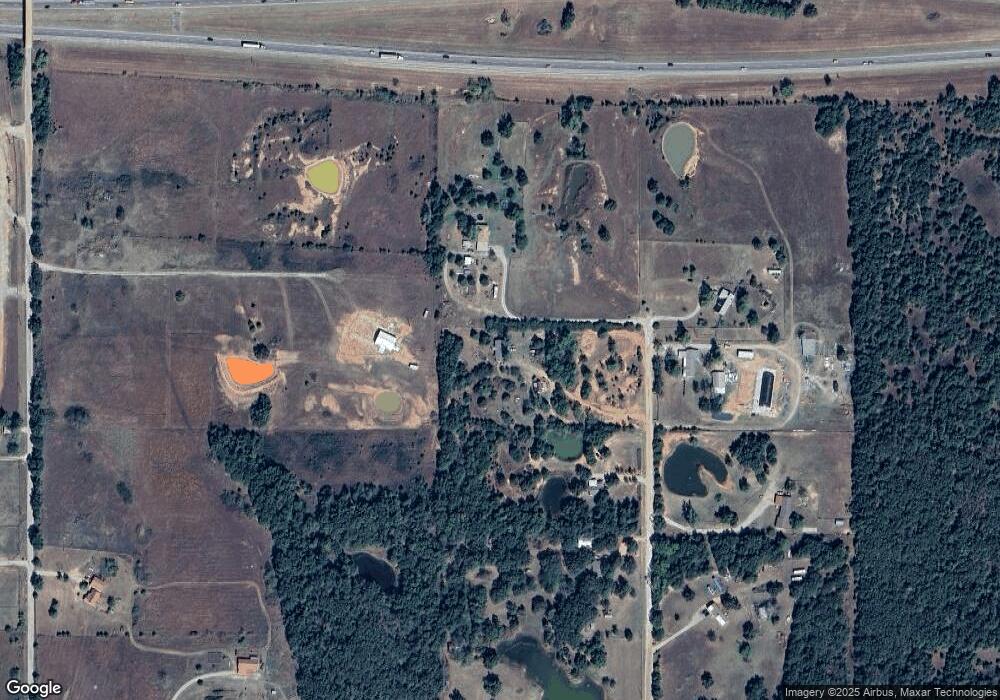
Map
Nearby Homes
- 31108 Blackberry Ridge
- 31097 Elderberry Dr
- 13434 Huckleberry Ln
- 13360 Mulberry Cir
- RC Lowell II Plan at Blackberry Ridge
- RC Raleigh Plan at Blackberry Ridge
- RC Foster II Plan at Blackberry Ridge
- RC Kinsley II Plan at Blackberry Ridge
- RC Carnegie II Plan at Blackberry Ridge
- RC Coleman Plan at Blackberry Ridge
- RC Wright Plan at Blackberry Ridge
- 31116 Blackberry Ridge
- 13418 Huckleberry Ln
- 13407 Dewberry Rd
- 0000 Parkwood Rd
- 13366 Mulberry Cir
- 13450 Huckleberry Ln
- 0 SE 74th St
- 0 Parkwood Rd
- 31 Deer Creek Dr