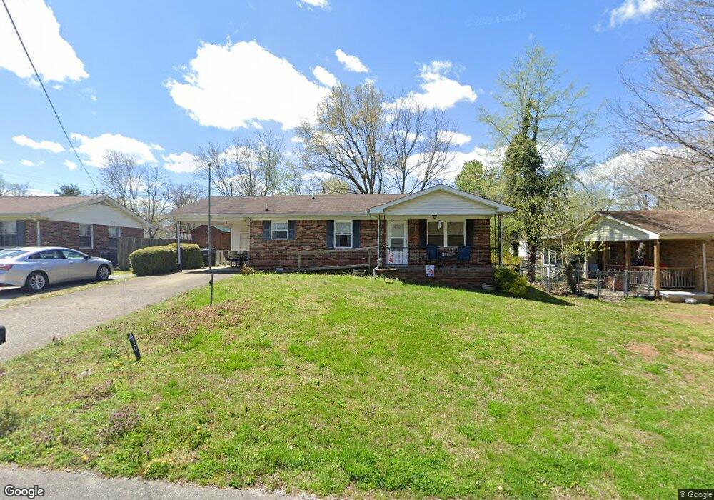
410 E Cedar St Dickson, TN 37055
Estimated Value: $213,000 - $295,000
Studio
2
Baths
999
Sq Ft
$249/Sq Ft
Est. Value
About This Home
This home is located at 410 E Cedar St, Dickson, TN 37055 and is currently estimated at $248,515, approximately $248 per square foot. 410 E Cedar St is a home located in Dickson County with nearby schools including Centennial Elementary School, Dickson Middle School, and Dickson County High School.
Ownership History
Date
Name
Owned For
Owner Type
Purchase Details
Closed on
Oct 16, 1998
Sold by
Residental Alternatives Of
Bought by
Residential Alternatives O
Current Estimated Value
Home Financials for this Owner
Home Financials are based on the most recent Mortgage that was taken out on this home.
Original Mortgage
$73,500
Interest Rate
6.61%
Purchase Details
Closed on
Jun 10, 1988
Bought by
Williams Rosie Bell
Purchase Details
Closed on
Mar 21, 1980
Bought by
Larkins Lena R
Create a Home Valuation Report for This Property
The Home Valuation Report is an in-depth analysis detailing your home's value as well as a comparison with similar homes in the area
Home Values in the Area
Average Home Value in this Area
Purchase History
| Date | Buyer | Sale Price | Title Company |
|---|---|---|---|
| Residential Alternatives O | $76,500 | -- | |
| Williams Rosie Bell | $42,000 | -- | |
| Larkins Lena R | -- | -- |
Source: Public Records
Mortgage History
| Date | Status | Borrower | Loan Amount |
|---|---|---|---|
| Closed | Larkins Lena R | $73,500 |
Source: Public Records
Tax History
| Year | Tax Paid | Tax Assessment Tax Assessment Total Assessment is a certain percentage of the fair market value that is determined by local assessors to be the total taxable value of land and additions on the property. | Land | Improvement |
|---|---|---|---|---|
| 2025 | -- | $0 | $0 | $0 |
| 2024 | -- | $0 | $0 | $0 |
| 2023 | -- | $0 | $0 | $0 |
| 2022 | $0 | $0 | $0 | $0 |
| 2021 | $0 | $0 | $0 | $0 |
| 2020 | $0 | $0 | $0 | $0 |
| 2019 | $0 | $0 | $0 | $0 |
| 2018 | $0 | $0 | $0 | $0 |
| 2017 | $0 | $0 | $0 | $0 |
| 2016 | $979 | $26,820 | $3,000 | $23,820 |
| 2015 | $889 | $22,920 | $3,000 | $19,920 |
| 2014 | $889 | $22,920 | $3,000 | $19,920 |
Source: Public Records
Map
Nearby Homes
- 0 Henslee Dr Spring St Unit RTC3128657
- 500 Church St
- 0 Highway 46 Unit RTC2944647
- 0 Tucker Rd Unit RTC3051077
- 202 W College St Unit 4
- 110 Mccreary Heights
- 213 Mccreary Heights
- 103 Batey Cir
- 101 Sunset Rd
- 101 Hill Rd
- 414 W College St
- 161 Caraway Ct
- 501 Caraway Ct
- 1030 Stonebrook Dr
- 614 Jones Creek Rd
- 129 Ironhorse Way
- 402 S Mulberry St
- 101 W Hills Terrace
- 1035 Northside Dr
- 501 High St Unit A
Your Personal Tour Guide
Ask me questions while you tour the home.