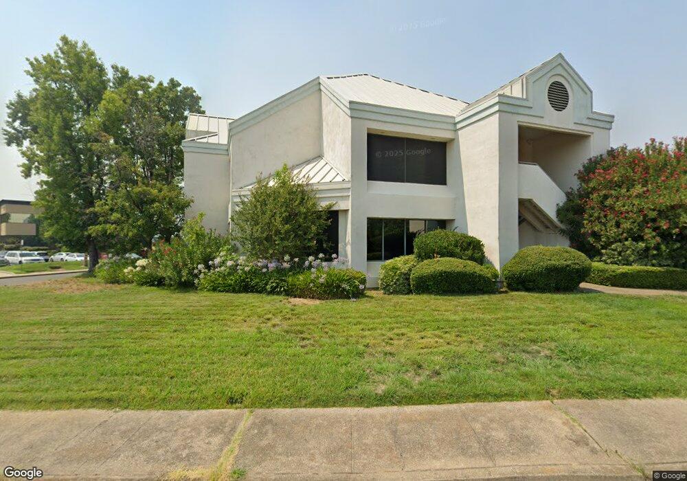
410 Hemsted Dr Redding, CA 96002
Redding AreaEstimated Value: $1,822,172
About This Home
This home is located at 410 Hemsted Dr, Redding, CA 96002 and is currently estimated at $1,822,172, approximately $231 per square foot. 410 Hemsted Dr is a home located in Shasta County with nearby schools including Rother Elementary School, Parsons Junior High School, and Enterprise High School.
Ownership History
We collect this data history from publicly available records. To have your information removed, we recommend requesting removal directly through your county’s website.
Purchase Details
Home Financials for this Owner
Home Financials are based on the most recent Mortgage that was taken out on this home.Purchase Details
Home Financials for this Owner
Home Financials are based on the most recent Mortgage that was taken out on this home.Purchase Details
Home Financials for this Owner
Home Financials are based on the most recent Mortgage that was taken out on this home.Purchase Details
Home Financials for this Owner
Home Financials are based on the most recent Mortgage that was taken out on this home.Purchase History
We collect this data history from publicly available records. To have your information removed, we recommend requesting removal directly through your county’s website.
| Date | Buyer | Sale Price | Title Company |
|---|---|---|---|
| $1,047,500 | Fidelity National Title Co | ||
| -- | Chicago Title Co | ||
| $1,255,000 | Chicago Title Co | ||
| -- | Chicago Title Co |
Mortgage History
We collect this data history from publicly available records. To have your information removed, we recommend requesting removal directly through your county’s website.
| Date | Status | Borrower | Loan Amount |
|---|---|---|---|
| Open | $432,000 | ||
| Closed | $525,000 | ||
| Previous Owner | $850,000 | ||
| Previous Owner | $570,000 |
Tax History
We collect this data history from publicly available records. To have your information removed, we recommend requesting removal directly through your county’s website.
| Year | Tax Paid | Tax Assessment Tax Assessment Total Assessment is a certain percentage of the fair market value that is determined by local assessors to be the total taxable value of land and additions on the property. | Land | Improvement |
|---|---|---|---|---|
| 2025 | $13,677 | $1,258,326 | $420,641 | $837,685 |
| 2024 | $13,489 | $1,233,654 | $412,394 | $821,260 |
| 2023 | $13,489 | $1,209,465 | $404,308 | $805,157 |
| 2022 | $13,110 | $1,185,751 | $396,381 | $789,370 |
| 2021 | $12,666 | $1,162,502 | $388,609 | $773,893 |
| 2020 | $12,613 | $1,150,583 | $384,625 | $765,958 |
| 2019 | $12,513 | $1,128,024 | $377,084 | $750,940 |
| 2018 | $12,371 | $1,105,907 | $369,691 | $736,216 |
| 2017 | $12,593 | $1,084,224 | $362,443 | $721,781 |
| 2016 | $11,780 | $1,062,966 | $355,337 | $707,629 |
| 2015 | $11,662 | $1,045,000 | $350,000 | $695,000 |
| 2014 | $9,077 | $800,000 | $200,000 | $600,000 |
Map
- 2425 Beverly Dr
- 1965 Bechelli Ln
- 1968 Bechelli Ln
- 1943 Bechelli Ln
- 1937 Bechelli Ln
- 1928 Bechelli Ln
- 1930 Bechelli Ln
- 1975 Bechelli Ln
- 1911 Bechelli Ln
- 1875 Crestmont Dr
- 2810 Bechelli Ln
- 2590 Henderson Rd
- 1744 Bechelli Ln
- 3011 Birch Way
- 541 Hartnell Ave
- 2950 Irene St
- 0 Churn Creek Rd Unit 25-496
- 0 Churn Creek Rd Unit 26-609
- 625 Orchard Estates Dr
- 1221 E Cypress Ave
- 0 Knollcrest Dr
- 444 Hemsted Dr
- 401 Hemsted Dr
- 333 Knollcrest Dr
- 445 Hemsted Dr
- 445 Hemsted Dr Suite C
- 445 Hemsted Drive Suite B
- 0 Hemsted Drive & Knollcrest Dri Unit 18-1274
- 468 Hemsted Dr
- 0 Hemsted Dr Unit 11-545
- 0 Hemsted Dr Unit 11-544
- 0 Hemsted Dr Unit 13-3710
- 466 Knollcrest Dr
- 348 Knollcrest Dr
- 364 Knollcrest Dr
- 415 Knollcrest Dr
- 415 Knollcrest Dr
- 415 Knollcrest Dr #140a&b
- 489 Hemsted Dr
- 499 Hemsted Dr
Ask me questions while you tour the home.