Estimated Value: $469,000 - $583,000
3
Beds
3
Baths
1,910
Sq Ft
$269/Sq Ft
Est. Value
About This Home
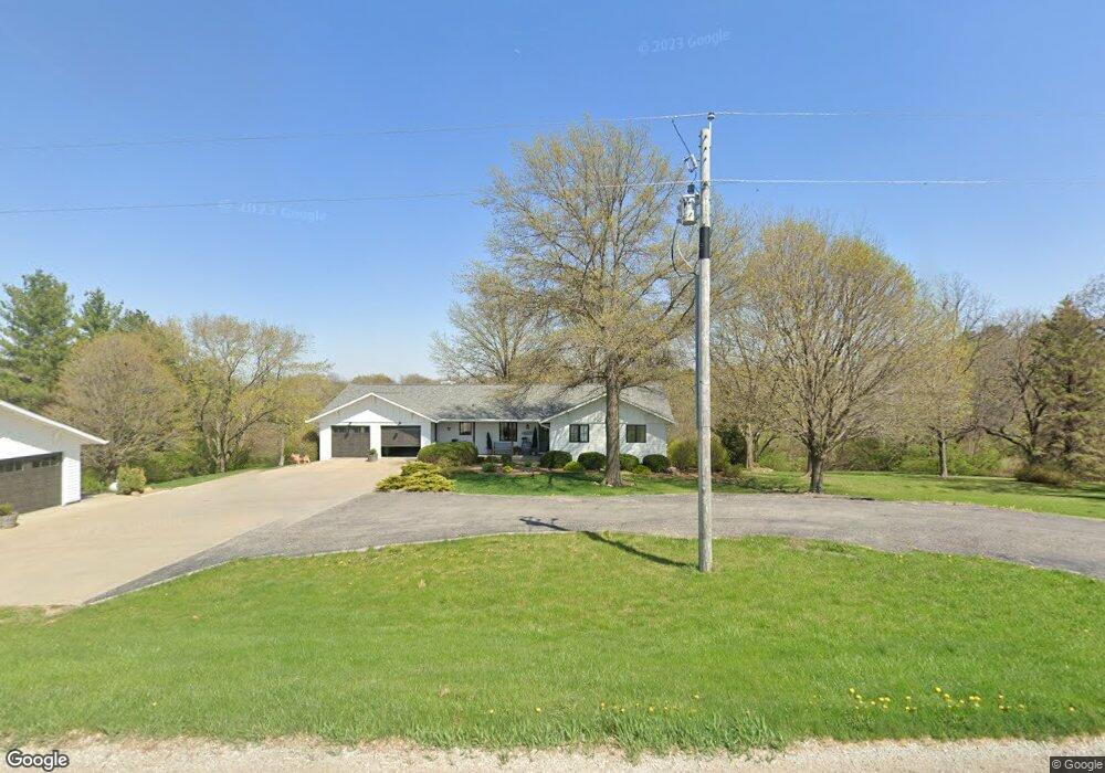
This home is located at 410 Highway T14, Pella, IA 50219 and is currently estimated at $513,539, approximately $268 per square foot. 410 Highway T14 is a home located in Marion County with nearby schools including Pella High School, Pella Christian Grade School, and Peoria Christian School.
Ownership History
Date
Name
Owned For
Owner Type
Purchase Details
Closed on
Dec 19, 2024
Sold by
Hutchinson Matthew S and Hutchinson Lisa B
Bought by
Trevor And Eden Koolmees Trust
Current Estimated Value
Home Financials for this Owner
Home Financials are based on the most recent Mortgage that was taken out on this home.
Original Mortgage
$616,500
Outstanding Balance
$611,651
Interest Rate
6.79%
Mortgage Type
New Conventional
Estimated Equity
-$98,112
Purchase Details
Closed on
Jun 16, 2009
Sold by
Taylor Aileen
Bought by
Hutchinson Matthew S and Hutchinson Lisa B
Home Financials for this Owner
Home Financials are based on the most recent Mortgage that was taken out on this home.
Original Mortgage
$213,750
Interest Rate
4.85%
Mortgage Type
New Conventional
Create a Home Valuation Report for This Property
The Home Valuation Report is an in-depth analysis detailing your home's value as well as a comparison with similar homes in the area
Home Values in the Area
Average Home Value in this Area
Purchase History
| Date | Buyer | Sale Price | Title Company |
|---|---|---|---|
| Trevor And Eden Koolmees Trust | $685,000 | None Listed On Document | |
| Trevor And Eden Koolmees Trust | $685,000 | None Listed On Document | |
| Hutchinson Matthew S | $237,500 | None Available |
Source: Public Records
Mortgage History
| Date | Status | Borrower | Loan Amount |
|---|---|---|---|
| Open | Trevor And Eden Koolmees Trust | $616,500 | |
| Closed | Trevor And Eden Koolmees Trust | $616,500 | |
| Previous Owner | Hutchinson Matthew S | $213,750 |
Source: Public Records
Tax History Compared to Growth
Tax History
| Year | Tax Paid | Tax Assessment Tax Assessment Total Assessment is a certain percentage of the fair market value that is determined by local assessors to be the total taxable value of land and additions on the property. | Land | Improvement |
|---|---|---|---|---|
| 2024 | $5,266 | $428,670 | $36,600 | $392,070 |
| 2023 | $5,040 | $428,670 | $36,600 | $392,070 |
| 2022 | $5,156 | $370,070 | $48,760 | $321,310 |
| 2021 | $5,156 | $349,120 | $46,000 | $303,120 |
| 2020 | $4,840 | $333,320 | $46,000 | $287,320 |
Source: Public Records
Map
Nearby Homes
- TBD 233rd Place
- TBD Dakota Dr
- 413 210th Ave
- 297 240th Place
- 1800 Lakeview Dr
- 915 Lake View Dr
- 912 Fountain View Dr
- 1202 Shadow Ln
- 1004 Big Rock Park Rd
- 712 Big Rock Park Rd
- 700 Big Rock Park Rd
- 718 Fountain View Dr
- 921 Brentwood Dr
- 113 Timberview Cir
- 213 Timberview Cir
- 212 Lynch Ln
- 211 Lynch Ln
- 213 Lynch Ln
- 212 Timberview Cir