410 Knights Valley Ct O Fallon, MO 63366
Estimated Value: $832,000 - $1,648,651
4
Beds
6
Baths
5,631
Sq Ft
$246/Sq Ft
Est. Value
About This Home
This home is located at 410 Knights Valley Ct, O Fallon, MO 63366 and is currently estimated at $1,384,413, approximately $245 per square foot. 410 Knights Valley Ct is a home with nearby schools including Mount Hope Elementary School, Fort Zumwalt North Middle School, and Fort Zumwalt North High School.
Ownership History
Date
Name
Owned For
Owner Type
Purchase Details
Closed on
Oct 12, 2021
Sold by
Terra Lane Llc
Bought by
Gibbs Shawn L and Gibbs Janell M
Current Estimated Value
Home Financials for this Owner
Home Financials are based on the most recent Mortgage that was taken out on this home.
Original Mortgage
$548,250
Outstanding Balance
$499,953
Interest Rate
2.8%
Mortgage Type
New Conventional
Estimated Equity
$884,460
Purchase Details
Closed on
Oct 6, 2021
Sold by
Terra Lane Llc
Bought by
Gibbs Shawn L and Gibbs Janell M
Home Financials for this Owner
Home Financials are based on the most recent Mortgage that was taken out on this home.
Original Mortgage
$548,250
Outstanding Balance
$499,953
Interest Rate
2.8%
Mortgage Type
New Conventional
Estimated Equity
$884,460
Create a Home Valuation Report for This Property
The Home Valuation Report is an in-depth analysis detailing your home's value as well as a comparison with similar homes in the area
Home Values in the Area
Average Home Value in this Area
Purchase History
| Date | Buyer | Sale Price | Title Company |
|---|---|---|---|
| Gibbs Shawn L | -- | None Listed On Document | |
| Gibbs Shawn L | -- | Title Partners Agency Llc |
Source: Public Records
Mortgage History
| Date | Status | Borrower | Loan Amount |
|---|---|---|---|
| Open | Gibbs Shawn L | $548,250 |
Source: Public Records
Tax History Compared to Growth
Tax History
| Year | Tax Paid | Tax Assessment Tax Assessment Total Assessment is a certain percentage of the fair market value that is determined by local assessors to be the total taxable value of land and additions on the property. | Land | Improvement |
|---|---|---|---|---|
| 2025 | $15,135 | $260,287 | -- | -- |
| 2024 | $15,135 | $241,363 | -- | -- |
| 2023 | $15,127 | $241,363 | $0 | $0 |
| 2022 | $15,659 | $232,474 | $0 | $0 |
| 2021 | $1,535 | $22,800 | $0 | $0 |
| 2020 | $10 | $146 | $0 | $0 |
| 2019 | $10 | $146 | $0 | $0 |
Source: Public Records
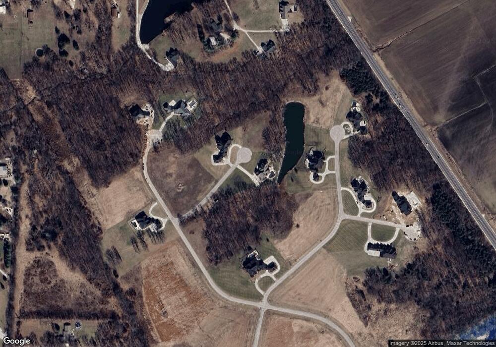
Map
Nearby Homes
- 421 Knights Valley Ct
- 120 Drury Ct
- 349 Shamrock St
- 355 Shamrock St
- 340 Shamrock St
- 330 Shamrock St
- 166 McMorland Dr
- 400 Ena Ln
- 160 McMorland Dr
- 401 Ena Ln
- 0 McMorland Dr
- 152 McMorland Dr
- 272 Clodagh Ln
- 149 McMorland Dr
- 266 Clodagh Ln
- 142 McMorland Dr
- 267 Clodagh Ln
- 171 McMorland Dr
- 422 Ena Ln
- 135 McMorland Dr
- 411 Knights Valley Ct
- 221 Castle Crest Ct
- 201 Castle Crest Ct
- 519 Castle Rock Bend Dr
- 519 Castle Rock Bend Dr
- 534 Castle Rock Bend Dr
- 200 Castle Crest Ct
- 101 Turret Trace Ct
- 535 Castle Rock Bend Dr
- 535 Castle Rock Bend Dr
- 230 Castle Crest Ct
- 523 Castle Rock Bend Dr
- 834 Highway Y
- 844 Highway Y
- 104 Turret Trace Ct
- 840 Highway Y
- 836 Highway Y Unit 9ac
- 836 Highway Y Unit 18AC
- 836 Highway Y
- 507 Castle Rock Bend Dr