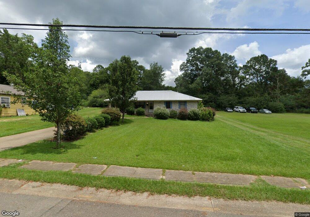
410 N Locust St McComb, MS 39648
Estimated Value: $81,000 - $97,758
--
Bed
--
Bath
1,559
Sq Ft
$58/Sq Ft
Est. Value
About This Home
This home is located at 410 N Locust St, McComb, MS 39648 and is currently estimated at $89,940, approximately $57 per square foot. 410 N Locust St is a home with nearby schools including Higgins Middle School, Otken Elementary School, and Denman Junior High School.
Ownership History
Date
Name
Owned For
Owner Type
Purchase Details
Closed on
Jul 18, 2014
Sold by
Magee Gregory T
Bought by
Town & Country Properties Of Mccomb Llc
Current Estimated Value
Home Financials for this Owner
Home Financials are based on the most recent Mortgage that was taken out on this home.
Original Mortgage
$41,000
Interest Rate
4.2%
Mortgage Type
Unknown
Purchase Details
Closed on
Feb 9, 2009
Sold by
United States Department Of Agriculture
Bought by
Magee Gregory T and Town & Country Properties Of Mccomb Llc
Create a Home Valuation Report for This Property
The Home Valuation Report is an in-depth analysis detailing your home's value as well as a comparison with similar homes in the area
Home Values in the Area
Average Home Value in this Area
Purchase History
| Date | Buyer | Sale Price | Title Company |
|---|---|---|---|
| Town & Country Properties Of Mccomb Llc | -- | None Available | |
| Magee Gregory T | $44,000 | None Available |
Source: Public Records
Mortgage History
| Date | Status | Borrower | Loan Amount |
|---|---|---|---|
| Closed | Town & Country Properties Of Mccomb Llc | $41,000 |
Source: Public Records
Tax History Compared to Growth
Tax History
| Year | Tax Paid | Tax Assessment Tax Assessment Total Assessment is a certain percentage of the fair market value that is determined by local assessors to be the total taxable value of land and additions on the property. | Land | Improvement |
|---|---|---|---|---|
| 2025 | $1,850 | $12,216 | $0 | $0 |
| 2024 | $1,850 | $10,359 | $0 | $0 |
| 2023 | $1,829 | $10,359 | $0 | $0 |
| 2022 | $1,803 | $10,359 | $0 | $0 |
| 2021 | $1,798 | $10,359 | $0 | $0 |
| 2020 | $1,833 | $10,559 | $0 | $0 |
| 2019 | $1,753 | $10,559 | $0 | $0 |
| 2018 | $1,702 | $10,559 | $0 | $0 |
| 2017 | $1,712 | $10,559 | $0 | $0 |
| 2016 | $1,699 | $10,559 | $0 | $0 |
| 2015 | -- | $10,209 | $0 | $0 |
| 2014 | -- | $10,209 | $0 | $0 |
| 2013 | -- | $10,209 | $0 | $0 |
Source: Public Records
Map
Nearby Homes
- 1002 Avenue F None
- 1002 Avenue F
- 133 N Chestnut St
- 133 N Live Oak St
- 1031 Pearl River Ave
- 143 N Myrtle St
- 1019 Pearl River Avenue Extension
- 1102 Pearl River Ave
- 415 N Magnolia St
- 1004 Van Norman Curve
- 1041 Van Norman Curve
- 1148 Morgantown Rd
- 2009 Summit Holmesville Rd
- 505 S Magnolia St
- 0 Johnson Ave
- 1078 Mississippi 570
- XXX Brewer Ln
- 1086 Mississippi 570
- 0 Morgantown Rd Unit 4125975
- 321 W New York Ave
- 412 N Locust St
- 416 N Locust St
- 404 N Locust St
- 411 N Locust St
- 425 N Locust St
- 412 Jordan Cir
- 429 N Locust St
- 416 Jordan Cir
- 400 N Locust St
- 401 N Locust St
- 500 Jordan Cir
- 324 N Locust St
- 510 N Locust St
- 1016 Avenue H
- 200 Jordan Cir
- 311 N Locust St
- 502 Jordan Cir
- 504 Jordan Cir
- 414 N Chestnut St
- 422 N Chestnut St