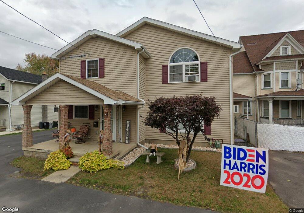
410 Oak St Scranton, PA 18508
Tripp's Park NeighborhoodEstimated Value: $167,944 - $217,000
2
Beds
2
Baths
1,300
Sq Ft
$142/Sq Ft
Est. Value
About This Home
This home is located at 410 Oak St, Scranton, PA 18508 and is currently estimated at $184,486, approximately $141 per square foot. 410 Oak St is a home located in Lackawanna County with nearby schools including Neil Armstrong Elementary School, Pinchbeck Elementary School, and Pemberton Elementary School.
Ownership History
Date
Name
Owned For
Owner Type
Purchase Details
Closed on
Nov 14, 2016
Sold by
Barron Richard J and Barron Colleen T
Bought by
Walsh Gerard Luke and Walsh Patricia Yvonne
Current Estimated Value
Purchase Details
Closed on
Apr 22, 1998
Bought by
Barron Richard and Barron Hughes C
Create a Home Valuation Report for This Property
The Home Valuation Report is an in-depth analysis detailing your home's value as well as a comparison with similar homes in the area
Home Values in the Area
Average Home Value in this Area
Purchase History
| Date | Buyer | Sale Price | Title Company |
|---|---|---|---|
| Walsh Gerard Luke | $88,000 | None Available | |
| Barron Richard | $26,000 | -- |
Source: Public Records
Tax History Compared to Growth
Tax History
| Year | Tax Paid | Tax Assessment Tax Assessment Total Assessment is a certain percentage of the fair market value that is determined by local assessors to be the total taxable value of land and additions on the property. | Land | Improvement |
|---|---|---|---|---|
| 2025 | $1,640 | $4,700 | $1,400 | $3,300 |
| 2024 | $1,508 | $4,700 | $1,400 | $3,300 |
| 2023 | $1,508 | $4,700 | $1,400 | $3,300 |
| 2022 | $1,475 | $4,700 | $1,400 | $3,300 |
| 2021 | $1,475 | $4,700 | $1,400 | $3,300 |
| 2020 | $1,449 | $4,700 | $1,400 | $3,300 |
| 2019 | $1,366 | $4,700 | $1,400 | $3,300 |
| 2018 | $1,366 | $4,700 | $1,400 | $3,300 |
| 2017 | $1,344 | $4,700 | $1,400 | $3,300 |
| 2016 | $492 | $4,700 | $1,400 | $3,300 |
| 2015 | $704 | $4,700 | $1,400 | $3,300 |
| 2014 | -- | $4,700 | $1,400 | $3,300 |
Source: Public Records
Map
Nearby Homes
- 1810 Cusick Ave
- 314 W Market St
- 1729 Wayne Ave
- 440 Leggett St
- 1711 N Sumner Ave
- 401 Putnam St
- 1515-1517 Brick Ave
- 337 Spring St
- 332 Spring St
- 231 Putnam St
- 2040 Margaret Ave Unit 2042
- 117 Ferdinand St
- 2113 Golden Ave
- 2040 Edna Ave
- 2105 Belmont Terrace
- 2219 Golden Ave
- 2326 Durkin Ave Unit L 4
- 940 W Market St
- 1402 N Rebecca Ave
- 119 Spring St