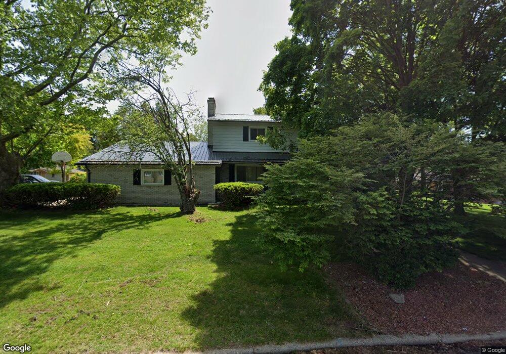
410 Orchard Ave Battle Creek, MI 49017
Northeast Battle Creek NeighborhoodEstimated Value: $267,000 - $431,000
4
Beds
4
Baths
2,976
Sq Ft
$114/Sq Ft
Est. Value
About This Home
This home is located at 410 Orchard Ave, Battle Creek, MI 49017 and is currently estimated at $339,240, approximately $113 per square foot. 410 Orchard Ave is a home located in Calhoun County with nearby schools including Northwestern Middle School, Battle Creek Central High School, and Battle Creek Christian School.
Ownership History
Date
Name
Owned For
Owner Type
Purchase Details
Closed on
Apr 28, 2021
Sold by
Bonner Edward
Bought by
Bonner Angela Maddox and Bonner Edward
Current Estimated Value
Purchase Details
Closed on
Apr 27, 2007
Sold by
Little Claude F and Little Denise L
Bought by
Bonner Edward F
Home Financials for this Owner
Home Financials are based on the most recent Mortgage that was taken out on this home.
Original Mortgage
$135,000
Outstanding Balance
$82,251
Interest Rate
6.2%
Mortgage Type
Purchase Money Mortgage
Estimated Equity
$256,989
Create a Home Valuation Report for This Property
The Home Valuation Report is an in-depth analysis detailing your home's value as well as a comparison with similar homes in the area
Home Values in the Area
Average Home Value in this Area
Purchase History
| Date | Buyer | Sale Price | Title Company |
|---|---|---|---|
| Bonner Angela Maddox | -- | None Available | |
| Bonner Edward F | $180,000 | Chicago Title Of Michigan |
Source: Public Records
Mortgage History
| Date | Status | Borrower | Loan Amount |
|---|---|---|---|
| Open | Bonner Edward F | $135,000 |
Source: Public Records
Tax History Compared to Growth
Tax History
| Year | Tax Paid | Tax Assessment Tax Assessment Total Assessment is a certain percentage of the fair market value that is determined by local assessors to be the total taxable value of land and additions on the property. | Land | Improvement |
|---|---|---|---|---|
| 2025 | -- | $150,700 | $0 | $0 |
| 2024 | $3,875 | $146,726 | $0 | $0 |
| 2023 | $4,430 | $126,859 | $0 | $0 |
| 2022 | $3,500 | $105,852 | $0 | $0 |
| 2021 | $3,570 | $100,248 | $0 | $0 |
| 2020 | $3,358 | $96,893 | $0 | $0 |
| 2019 | $3,358 | $87,557 | $0 | $0 |
| 2018 | $3,358 | $77,801 | $2,750 | $75,051 |
| 2017 | $3,242 | $83,228 | $0 | $0 |
| 2016 | $3,236 | $72,449 | $0 | $0 |
| 2015 | $4,252 | $69,896 | $4,913 | $64,983 |
| 2014 | $4,252 | $92,272 | $4,913 | $87,359 |
Source: Public Records
Map
Nearby Homes
- 250 Cornell Dr
- 420 Orchard Ave
- 400 Orchard Ave
- 415 Orchard Ave
- 405 Orchard Ave
- 409 Orchard Ave
- 251 Cornell Dr
- 437 Orchard Ave
- 183 Pleasantview Dr
- 165 Pleasantview Dr
- 189 Pleasantview Dr
- 440 Orchard Ave
- 375 Garrison Rd
- 283 Central St
- 172 Pleasantview Dr
- 220 Curtis Ave
- 195 Pleasantview Dr
- 267 Cornell Dr
- 342 Orchard Ave
- 287 Central St