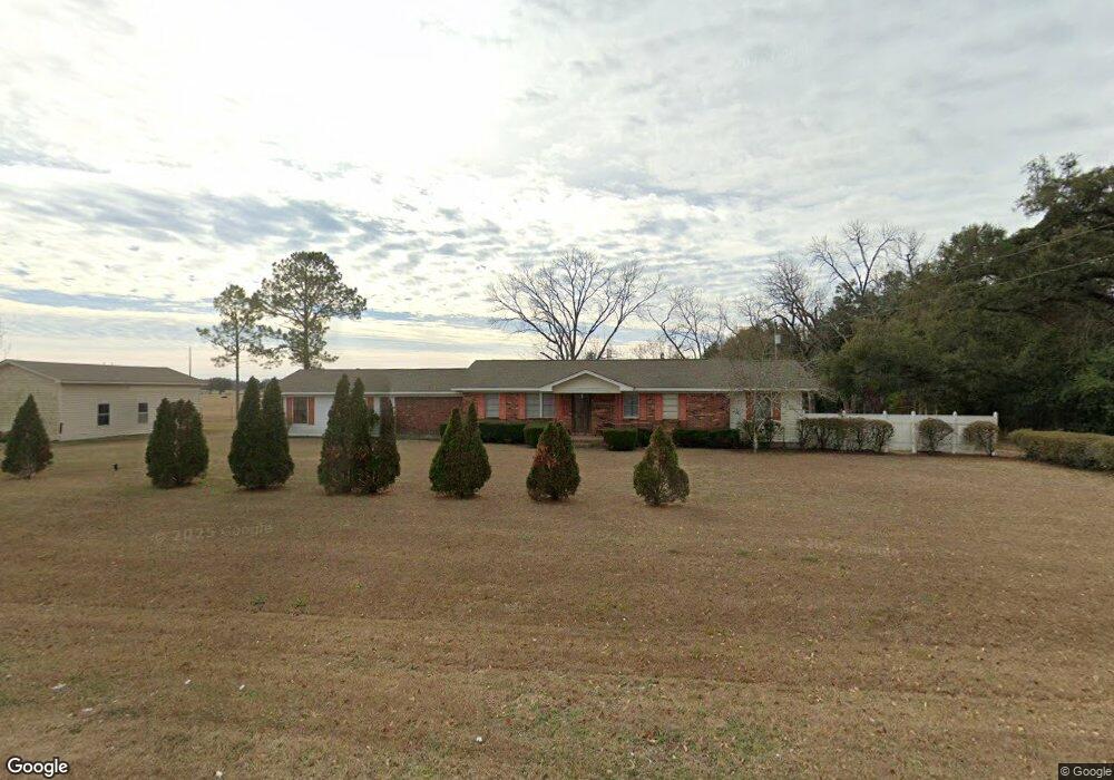
410 Pine Hill Rd Bainbridge, GA 39817
Estimated Value: $290,000 - $390,229
--
Bed
--
Bath
2,357
Sq Ft
$144/Sq Ft
Est. Value
About This Home
This home is located at 410 Pine Hill Rd, Bainbridge, GA 39817 and is currently estimated at $339,307, approximately $143 per square foot. 410 Pine Hill Rd is a home with nearby schools including Bainbridge High School.
Ownership History
Date
Name
Owned For
Owner Type
Purchase Details
Closed on
Jun 30, 2025
Sold by
Brock Gracie M
Bought by
Tph Jr Trust Established May 15 2025 and Hughes Thomas P
Current Estimated Value
Purchase Details
Closed on
May 16, 2024
Sold by
Brock Gracie M
Bought by
Moore Daniel Brock and Moore Laci Dodson
Home Financials for this Owner
Home Financials are based on the most recent Mortgage that was taken out on this home.
Original Mortgage
$71,223
Interest Rate
7.1%
Mortgage Type
New Conventional
Purchase Details
Closed on
Feb 9, 2024
Sold by
Brock Gracie M
Bought by
Barber Family Farm Llc
Home Financials for this Owner
Home Financials are based on the most recent Mortgage that was taken out on this home.
Original Mortgage
$226,130
Interest Rate
6.66%
Mortgage Type
New Conventional
Purchase Details
Closed on
Jan 28, 2015
Sold by
Metcalf Peggy Griffin /Tr
Bought by
Griffin Luther Craig and Griffin John Keith
Create a Home Valuation Report for This Property
The Home Valuation Report is an in-depth analysis detailing your home's value as well as a comparison with similar homes in the area
Home Values in the Area
Average Home Value in this Area
Purchase History
| Date | Buyer | Sale Price | Title Company |
|---|---|---|---|
| Tph Jr Trust Established May 15 2025 | $150,000 | -- | |
| Moore Daniel Brock | $60,000 | -- | |
| Barber Family Farm Llc | $223,905 | -- | |
| Griffin Luther Craig | -- | -- |
Source: Public Records
Mortgage History
| Date | Status | Borrower | Loan Amount |
|---|---|---|---|
| Previous Owner | Moore Daniel Brock | $71,223 | |
| Previous Owner | Barber Family Farm Llc | $226,130 |
Source: Public Records
Tax History Compared to Growth
Tax History
| Year | Tax Paid | Tax Assessment Tax Assessment Total Assessment is a certain percentage of the fair market value that is determined by local assessors to be the total taxable value of land and additions on the property. | Land | Improvement |
|---|---|---|---|---|
| 2024 | $2,798 | $121,993 | $39,443 | $82,550 |
| 2023 | $2,639 | $121,993 | $39,443 | $82,550 |
| 2022 | $3,427 | $119,785 | $39,443 | $80,342 |
| 2021 | $3,066 | $105,440 | $34,110 | $71,330 |
| 2020 | $2,992 | $97,794 | $34,110 | $63,684 |
| 2019 | $2,870 | $90,478 | $34,110 | $56,368 |
| 2018 | $2,834 | $90,478 | $34,110 | $56,368 |
| 2017 | $2,839 | $90,478 | $34,110 | $56,368 |
| 2016 | $2,831 | $92,218 | $35,850 | $56,368 |
| 2015 | $2,870 | $92,218 | $35,850 | $56,368 |
| 2014 | $2,504 | $92,218 | $35,850 | $56,368 |
| 2013 | -- | $92,218 | $35,850 | $56,368 |
Source: Public Records
Map
Nearby Homes
- 160 Manhole Rd
- 2137 Pondtown Rd
- 934 Hatcher Rd
- 116 Flint River Heights Rd
- Brinson Airbase Rd
- 851 Colquitt Hwy
- 1019 Zorn Rd
- 811 Colquitt Hwy
- 125 John Sam Rd
- 850 Zorn Rd
- 0 Pine St Unit 10993
- 1063 Plantation Rd
- 150 Rivervale Dr
- 0 Newton Rd
- 1302 Talmadge St
- 116 Rivervale Dr
- 000 Conger Dr
- 604 Martin St
- 467 745 Lot St N
- Lot Griffin St