410 SW Erie Cir Oak Harbor, WA 98277
Estimated Value: $494,586 - $510,000
3
Beds
2
Baths
1,482
Sq Ft
$337/Sq Ft
Est. Value
About This Home
This home is located at 410 SW Erie Cir, Oak Harbor, WA 98277 and is currently estimated at $499,147, approximately $336 per square foot. 410 SW Erie Cir is a home located in Island County with nearby schools including Broadview Elementary School, Oak Harbor Middle School, and Oak Harbor High School.
Ownership History
Date
Name
Owned For
Owner Type
Purchase Details
Closed on
May 30, 2008
Sold by
Rydell Robin L and Rydell Muriel P
Bought by
Dickinson Shelley R
Current Estimated Value
Purchase Details
Closed on
Oct 2, 2003
Sold by
Carson Shawn M and Carson Amy J
Bought by
Rydell Robin L and Rydell Muriel P
Home Financials for this Owner
Home Financials are based on the most recent Mortgage that was taken out on this home.
Original Mortgage
$163,200
Interest Rate
6.22%
Mortgage Type
VA
Create a Home Valuation Report for This Property
The Home Valuation Report is an in-depth analysis detailing your home's value as well as a comparison with similar homes in the area
Home Values in the Area
Average Home Value in this Area
Purchase History
| Date | Buyer | Sale Price | Title Company |
|---|---|---|---|
| Dickinson Shelley R | $225,000 | Land Title Company Island Co | |
| Rydell Robin L | $160,000 | First Amer Title Island Cnty |
Source: Public Records
Mortgage History
| Date | Status | Borrower | Loan Amount |
|---|---|---|---|
| Previous Owner | Rydell Robin L | $163,200 |
Source: Public Records
Tax History Compared to Growth
Tax History
| Year | Tax Paid | Tax Assessment Tax Assessment Total Assessment is a certain percentage of the fair market value that is determined by local assessors to be the total taxable value of land and additions on the property. | Land | Improvement |
|---|---|---|---|---|
| 2025 | $3,785 | $462,602 | $200,000 | $262,602 |
| 2024 | $3,819 | $446,092 | $180,000 | $266,092 |
| 2023 | $3,819 | $452,602 | $190,000 | $262,602 |
| 2022 | $3,563 | $420,957 | $180,000 | $240,957 |
| 2021 | $3,304 | $332,278 | $120,000 | $212,278 |
| 2020 | $3,270 | $307,078 | $100,000 | $207,078 |
| 2019 | $2,816 | $300,869 | $150,000 | $150,869 |
| 2018 | $3,018 | $281,346 | $130,000 | $151,346 |
| 2017 | $2,639 | $265,290 | $110,000 | $155,290 |
| 2016 | $2,545 | $247,307 | $90,000 | $157,307 |
| 2015 | $2,450 | $229,323 | $70,000 | $159,323 |
| 2013 | -- | $218,358 | $55,000 | $163,358 |
Source: Public Records
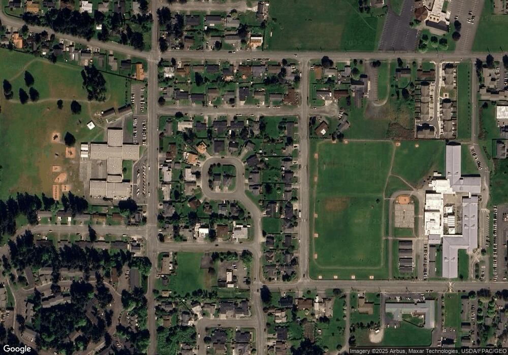
Map
Nearby Homes
- 185 SW 3rd Ave
- 280 SW Ballast Way
- 1101 SW Harrier Cir Unit 106
- 660 SW Harrier Cir Unit 1
- 44 SW Festival St
- 478 SW Judson Dr
- 984 SW 6th Ave
- 356 SW Judson Dr
- 161 W Whidbey Ave Unit 4
- 161 W Whidbey Ave Unit 26
- 1075 SW 2nd Ave
- 1238 SW Lopez Dr
- 110 N Oak Harbor St
- 1076 NW Kitsap Terrace
- 427 SE Ely St
- 1175 NW Kitsap Terrace
- 1234 NW Lanyard Loop Unit 1
- 270 SE Barrington Dr Unit A-304
- 1264 NW Lanyard Loop Unit 2
- 1252 NW Lanyard Loop Unit 2
- 418 SW Erie Cir
- 404 SW Erie Cir
- 489 SW Erie Cir
- 475 SW Dyer St
- 424 SW Erie Cir
- 463 SW Dyer St
- 497 SW Dyer St
- 430 SW Erie Cir
- 500 SW Erie St
- 498 SW Erie Cir
- 449 SW Dyer St
- 483 SW Erie Cir
- 486 SW Erie Cir
- 436 SW Erie Cir
- 517 SW Dyer St
- 485 SW 4th Ave
- 535 SW 4th Ave
- 530 SW 6th Ave
- 537 SW Dyer St
- 480 SW Erie Cir