410 Windsor Dr Bigfork, MT 59911
Estimated Value: $762,000 - $1,193,000
3
Beds
3
Baths
3,400
Sq Ft
$273/Sq Ft
Est. Value
About This Home
This home is located at 410 Windsor Dr, Bigfork, MT 59911 and is currently estimated at $926,701, approximately $272 per square foot. 410 Windsor Dr is a home located in Flathead County with nearby schools including Bigfork Elementary School, Bigfork Middle School, and Bigfork High School.
Ownership History
Date
Name
Owned For
Owner Type
Purchase Details
Closed on
Apr 9, 2021
Sold by
Berkaw Robert A and Berkaw Tina M
Bought by
Berkaw Robert A and Berkaw Tina M
Current Estimated Value
Purchase Details
Closed on
Nov 8, 2010
Sold by
Tanner Todd A
Bought by
Berkaw Robert A and Berkaw Tina M
Purchase Details
Closed on
Oct 13, 2006
Sold by
5 Star Management Llc
Bought by
Tanner Todd A
Home Financials for this Owner
Home Financials are based on the most recent Mortgage that was taken out on this home.
Original Mortgage
$344,000
Interest Rate
6.39%
Mortgage Type
New Conventional
Create a Home Valuation Report for This Property
The Home Valuation Report is an in-depth analysis detailing your home's value as well as a comparison with similar homes in the area
Home Values in the Area
Average Home Value in this Area
Purchase History
| Date | Buyer | Sale Price | Title Company |
|---|---|---|---|
| Berkaw Robert A | -- | None Available | |
| Berkaw Robert A | -- | Insured Titles | |
| Tanner Todd A | -- | Citizens Title And Escrow Co |
Source: Public Records
Mortgage History
| Date | Status | Borrower | Loan Amount |
|---|---|---|---|
| Previous Owner | Tanner Todd A | $344,000 |
Source: Public Records
Tax History
| Year | Tax Paid | Tax Assessment Tax Assessment Total Assessment is a certain percentage of the fair market value that is determined by local assessors to be the total taxable value of land and additions on the property. | Land | Improvement |
|---|---|---|---|---|
| 2025 | $3,323 | $856,100 | $0 | $0 |
| 2024 | $3,581 | $641,600 | $0 | $0 |
| 2023 | $3,679 | $641,600 | $0 | $0 |
| 2022 | $3,702 | $462,200 | $0 | $0 |
| 2021 | $3,634 | $462,200 | $0 | $0 |
| 2020 | $3,380 | $407,700 | $0 | $0 |
| 2019 | $3,262 | $407,700 | $0 | $0 |
| 2018 | $3,192 | $379,000 | $0 | $0 |
| 2017 | $3,123 | $379,000 | $0 | $0 |
| 2016 | $3,081 | $376,700 | $0 | $0 |
| 2015 | $2,855 | $376,700 | $0 | $0 |
| 2014 | $3,106 | $247,563 | $0 | $0 |
Source: Public Records
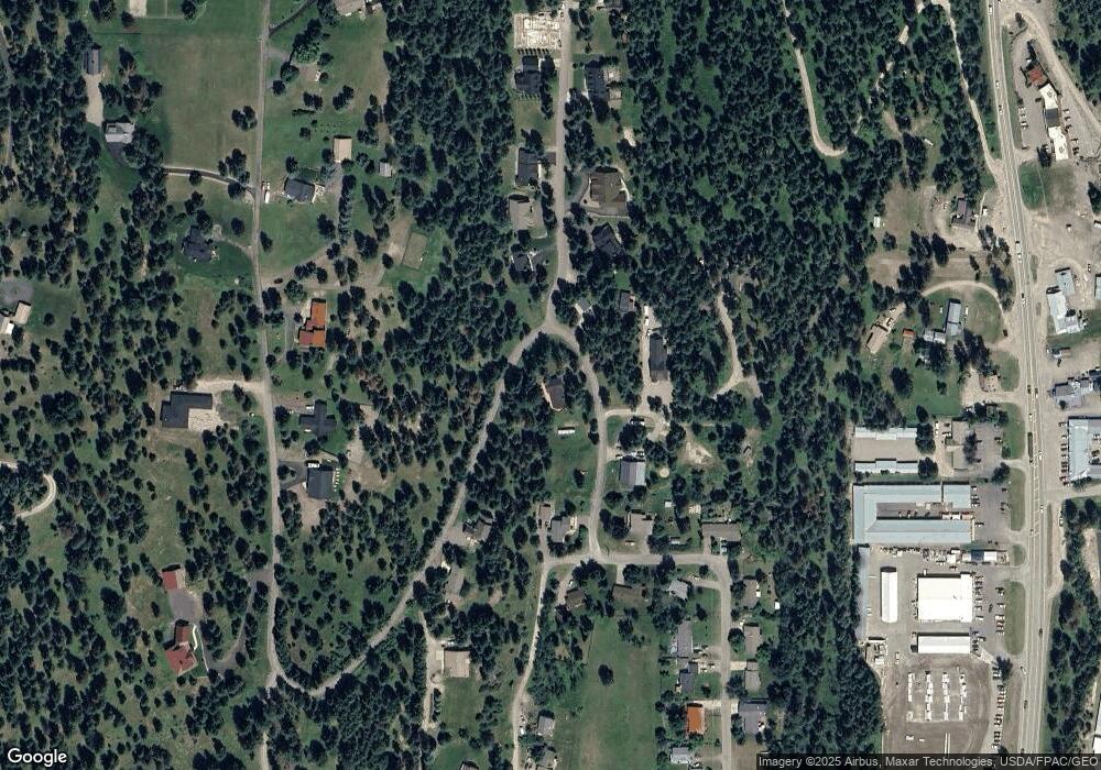
Map
Nearby Homes
- 394 Windsor Ct
- 324 Lake Hills Dr
- 7945 Mt Highway 35
- 260 Crestview Dr
- 486 Hogue Dr
- 32 Peaceful Ct
- 351 Chapman Ln
- 112 O'Brien Terrace Unit A
- 112 Sunrise Terrace
- 109 O'Brien Terrace Unit C
- 87 Rock Ridge Way
- 344 Chapman Ln
- 1050 Bigfork Stage Rd
- 29 Bearpaw Loop
- 101 S Crestview Terrace
- 107 S Crestview Terrace
- 220 Bridger Dr
- 130 S Crestview Terrace
- 623 Mill Pond Place
- 172 Holt Dr Unit A, B & C
- 0 Windsor Dr
- 402 Windsor Dr
- 404 Windsor Dr
- 188 Windsor Dr
- 401 Windsor Dr
- 405 Windsor Dr
- 100 Windsor Ct
- 125 Windsor Ct
- 311 Lake Hills Dr
- 144 Windsor Ct Unit Lot 16
- 144 Windsor Ct
- 420 Windsor Dr
- 295 Lake Hills Dr
- 167 Windsor Ct
- 279 Lake Hills Dr
- 403 Windsor Dr
- 294 Lake Hills Dr
- 188 Windsor Ct
- Lot 17 Windsor Ct
- Lot 11 Windsor Ct
Your Personal Tour Guide
Ask me questions while you tour the home.