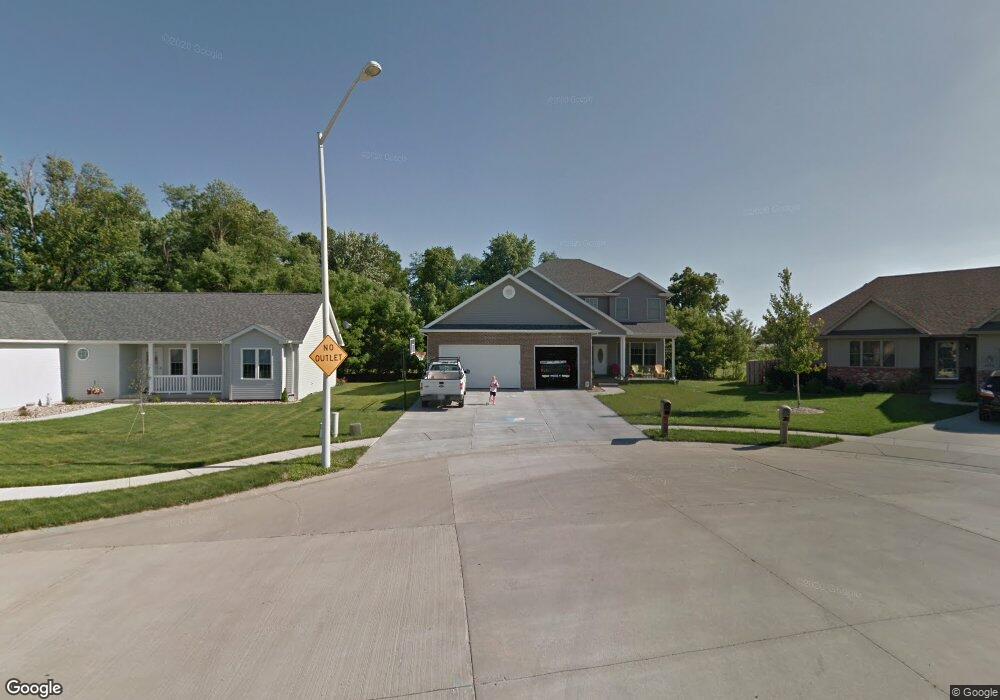
4100 Garry Dr Springfield, IL 62712
Estimated Value: $321,349 - $360,000
Studio
--
Bath
--
Sq Ft
12,894
Sq Ft Lot
About This Home
This home is located at 4100 Garry Dr, Springfield, IL 62712 and is currently estimated at $347,087. 4100 Garry Dr is a home located in Sangamon County with nearby schools including Rochester Elementary Ec-1 School, Rochester Elementary School, and Rochester Intermediate School.
Ownership History
Date
Name
Owned For
Owner Type
Purchase Details
Closed on
Sep 13, 2011
Current Estimated Value
Purchase Details
Closed on
Oct 13, 2009
Purchase Details
Closed on
Oct 1, 2007
Purchase Details
Closed on
Sep 1, 2006
Purchase Details
Closed on
Aug 31, 2006
Purchase Details
Closed on
Jun 9, 2006
Purchase Details
Closed on
May 30, 2006
Purchase Details
Closed on
Dec 22, 2004
Create a Home Valuation Report for This Property
The Home Valuation Report is an in-depth analysis detailing your home's value as well as a comparison with similar homes in the area
Purchase History
| Date | Buyer | Sale Price | Title Company |
|---|---|---|---|
| -- | $36,000 | -- | |
| -- | -- | -- | |
| -- | -- | -- | |
| -- | -- | -- | |
| -- | $480,000 | -- | |
| -- | $1,950,000 | -- | |
| -- | $1,950,000 | -- | |
| -- | -- | -- |
Source: Public Records
Tax History
| Year | Tax Paid | Tax Assessment Tax Assessment Total Assessment is a certain percentage of the fair market value that is determined by local assessors to be the total taxable value of land and additions on the property. | Land | Improvement |
|---|---|---|---|---|
| 2024 | $6,246 | $93,675 | $15,934 | $77,741 |
| 2023 | $5,870 | $85,563 | $14,554 | $71,009 |
| 2022 | $5,599 | $80,647 | $13,806 | $66,841 |
| 2021 | $5,400 | $77,627 | $13,289 | $64,338 |
| 2020 | $5,367 | $77,744 | $13,309 | $64,435 |
| 2019 | $5,260 | $77,473 | $13,263 | $64,210 |
| 2018 | $5,031 | $73,664 | $13,198 | $60,466 |
| 2017 | $4,949 | $72,711 | $13,027 | $59,684 |
| 2016 | $4,881 | $71,651 | $12,837 | $58,814 |
| 2015 | $4,772 | $70,795 | $12,684 | $58,111 |
| 2014 | $4,981 | $70,338 | $12,602 | $57,736 |
| 2013 | $4,952 | $67,589 | $12,602 | $54,987 |
Source: Public Records
Map
Nearby Homes
- 66 White Birch Rd
- 2632 Hilltop Rd
- 53 Mishawaka Dr Unit 1
- 65 Linden Ln
- 10 Lancelot Dr
- 35 Galahad Dr Unit 1
- 8 Riverwood Dr
- 0 Oak Hill Rd
- 180 E Hazel Dell Unit 1
- 108 Glen Aire Dr
- 2709 Carl Prairie Dr
- 19 Circle Dr Unit 1
- 2632 Steiler Place
- 300 N Walnut St Unit 1
- 10 Radcliff Rd
- 2906 Taylor Ave Unit 11
- 3012 Taylor Ave Unit 58
- 2900 Taylor Ave Unit 4
- 2875 Taylor Ave
- 400 N Park St
- 3005 Laxford Dr
- 4104 Garry Dr
- 3001 Laxford Dr
- 4108 Garry Dr
- 4101 Garry Dr
- 3004 Summerwood Dr
- 3180 White Timber Rd Unit 1
- 4112 Garry Dr
- 3000 Summerwood Dr
- 3008 Summerwood Dr
- 2929 Laxford Dr
- 4116 Garry Dr
- 4100 Blair Dr
- 4109 Garry Dr
- 3012 Summerwood Dr
- 2928 Summerwood Dr
- 3184 White Timber Rd Unit 1
- 4104 Blair Dr
- 2925 Laxford Dr
- 4120 Garry Dr
Your Personal Tour Guide
Ask me questions while you tour the home.